
Iceland – Land of Contrasts Part 3
The northwestern lands
Day 7
My first spot of the morning is Dettifoss, a somewhat isolated waterfall in the desert east of Lake Mývatn within the Jökulsá á Fjöllum canyon. It is renowned for being the most powerful waterfall in Iceland and in Europe. Standing 44 meters high and 100 meters wide, it features a flow rate of about 500 cubic meters per second in summer, when the discharge is at its peak.
I choose to approach it from the east side, which is less touristy. Route 864 leading to it quickly turns into a dirt track better suited for 4x4 vehicles! After 40 minutes on a bumpy track, I reach the dirt parking lot where three other vehicles have made the same choice.
I take the path leading down into a landscape worthy of the Grand Canyon.
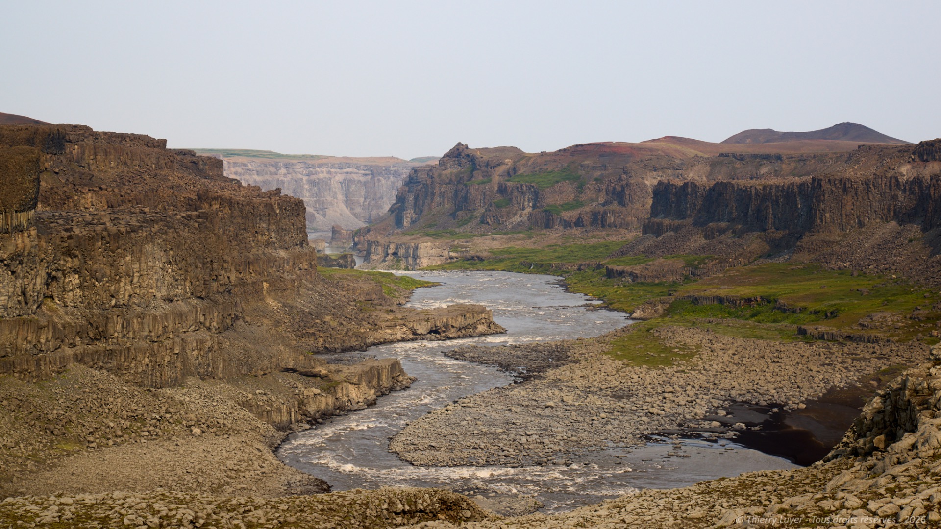
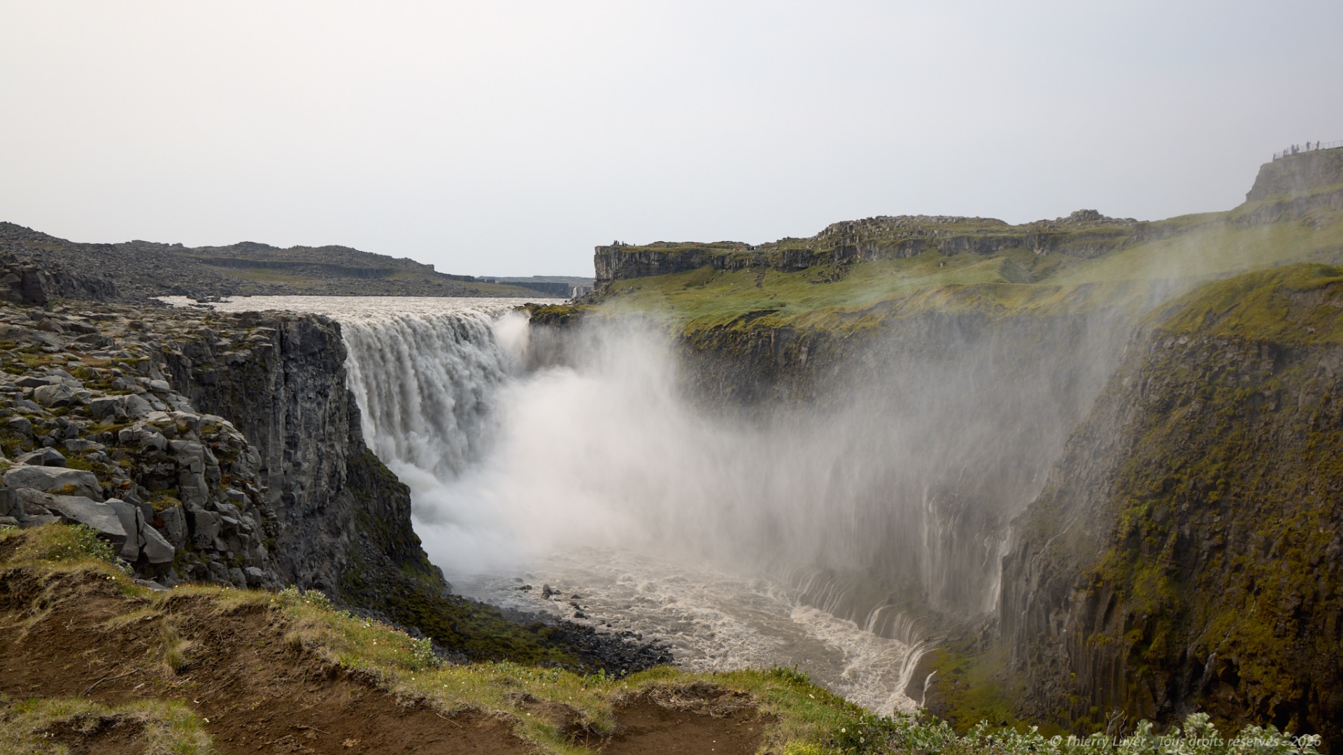
The noise is deafening, and the very violent, swirling winds are sending spray flying everywhere... doing long exposures in these conditions is going to prove extremely complicated!
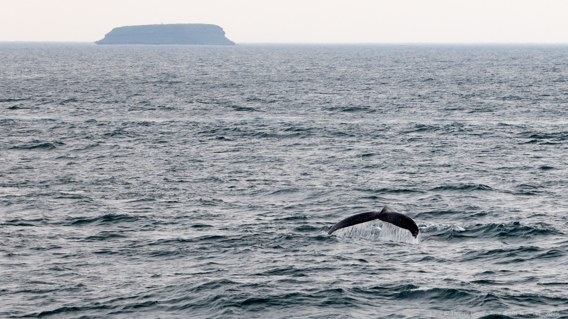
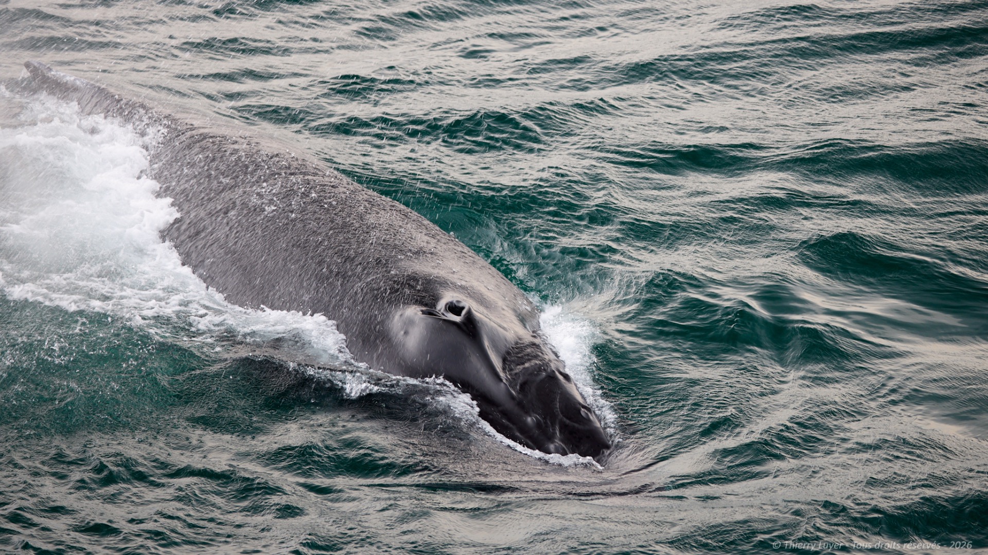
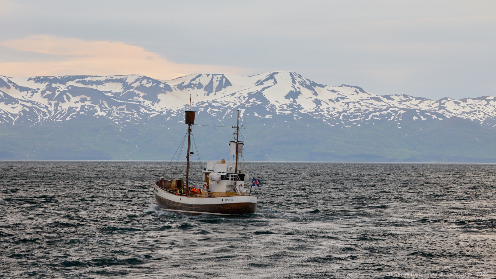
I then carry on towards Húsavík, a port town situated very close to the Arctic Circle, for an unmissable whale-watching trip. Húsavík is the whale-watching capital of Iceland. Whaling was completely abandoned there several decades ago in favour of whale watching. Wrapped up warm, I board a traditional vessel for a three-hour trip out to sea. The temperature and winds out at sea remain invigorating, even in July.
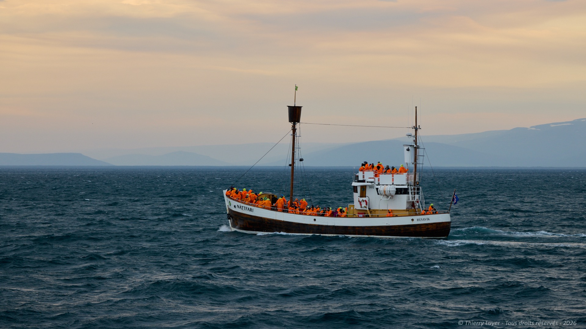
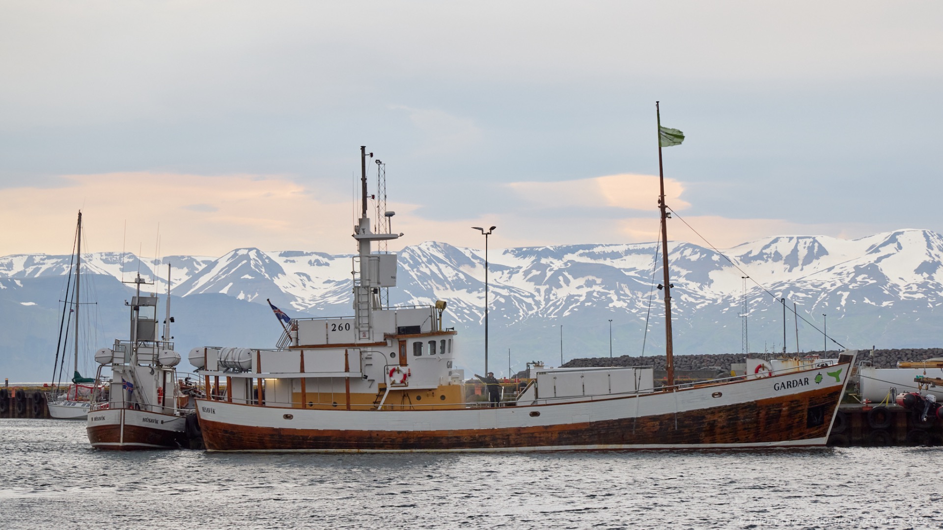
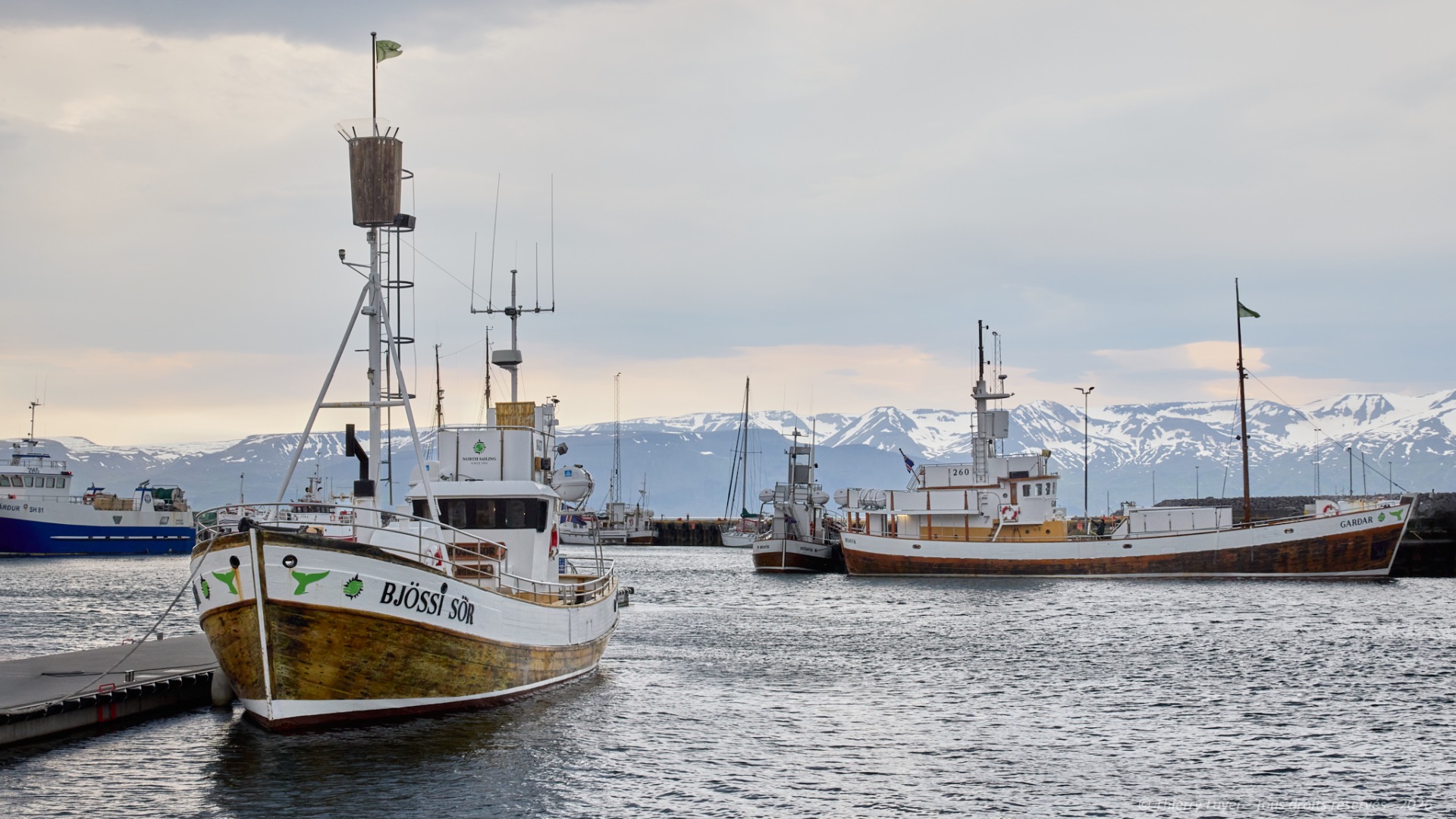
The port of Húsavík faces the impressive Kinnarfjöll mountains across the bay. Most of the numerous boats are traditional colorful wooden whaling ships, which adds to the charm of this small fishing port.
In winter, the region is also prime spot for viewing the Northern Lights, which are very frequent in this part of Iceland.
The day ends after 200 km and 4 hours of driving and driving on tracks. I return to my base camp on the volcanic plateaus for the night.

Day 8
This morning, my first stop will be Goðafoss waterfall before I head along the northern fjords. The weather is taking a turn for the worse; the sky is clouding over and the rain is setting in.
With a width of 30 metres and a height of 12 metres, Goðafoss plunges from the top of a cliff in a semicircle before cascading into a canyon in a series of small waterfalls. Both banks are accessible, allowing to view it from different angles.
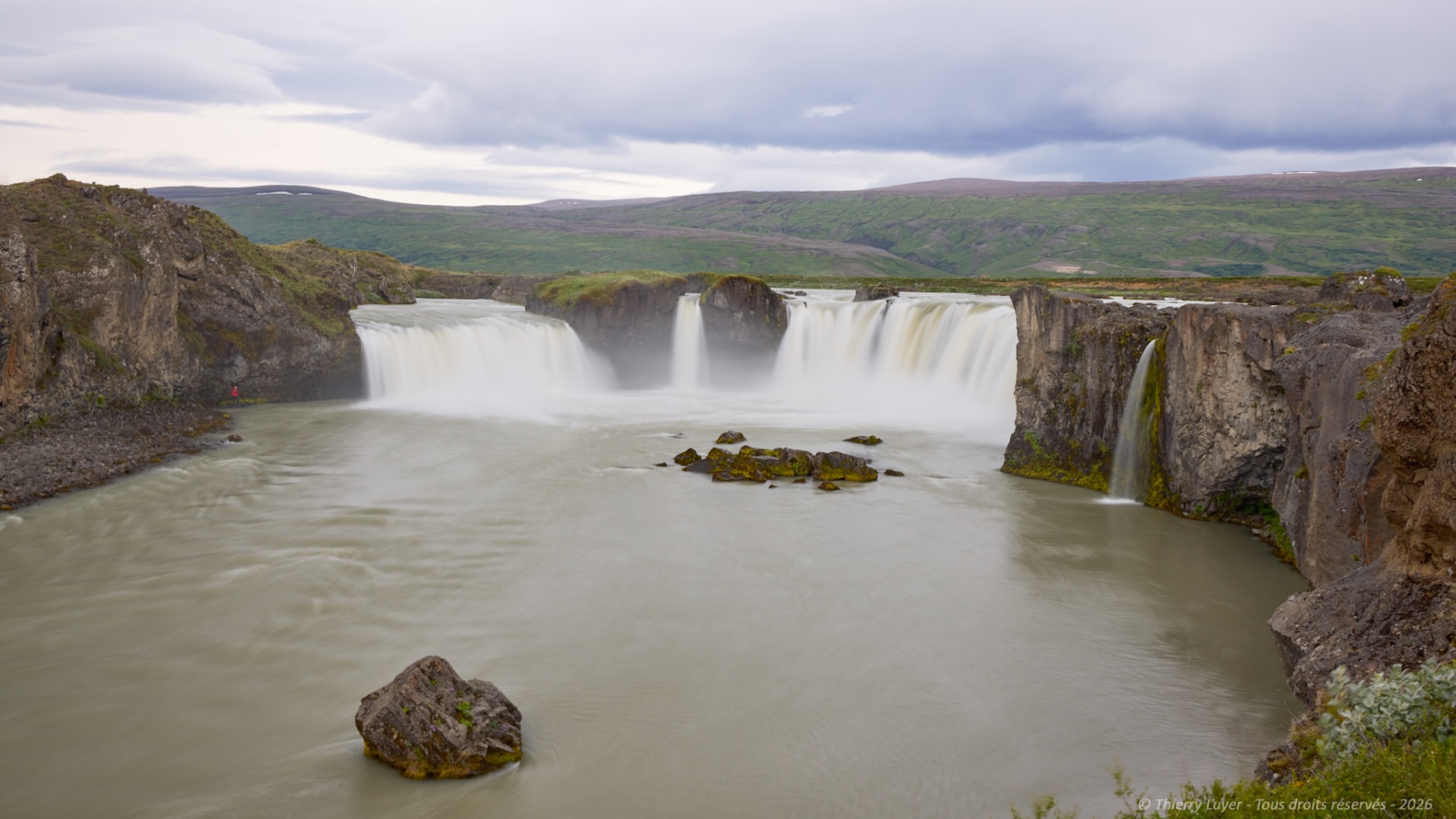
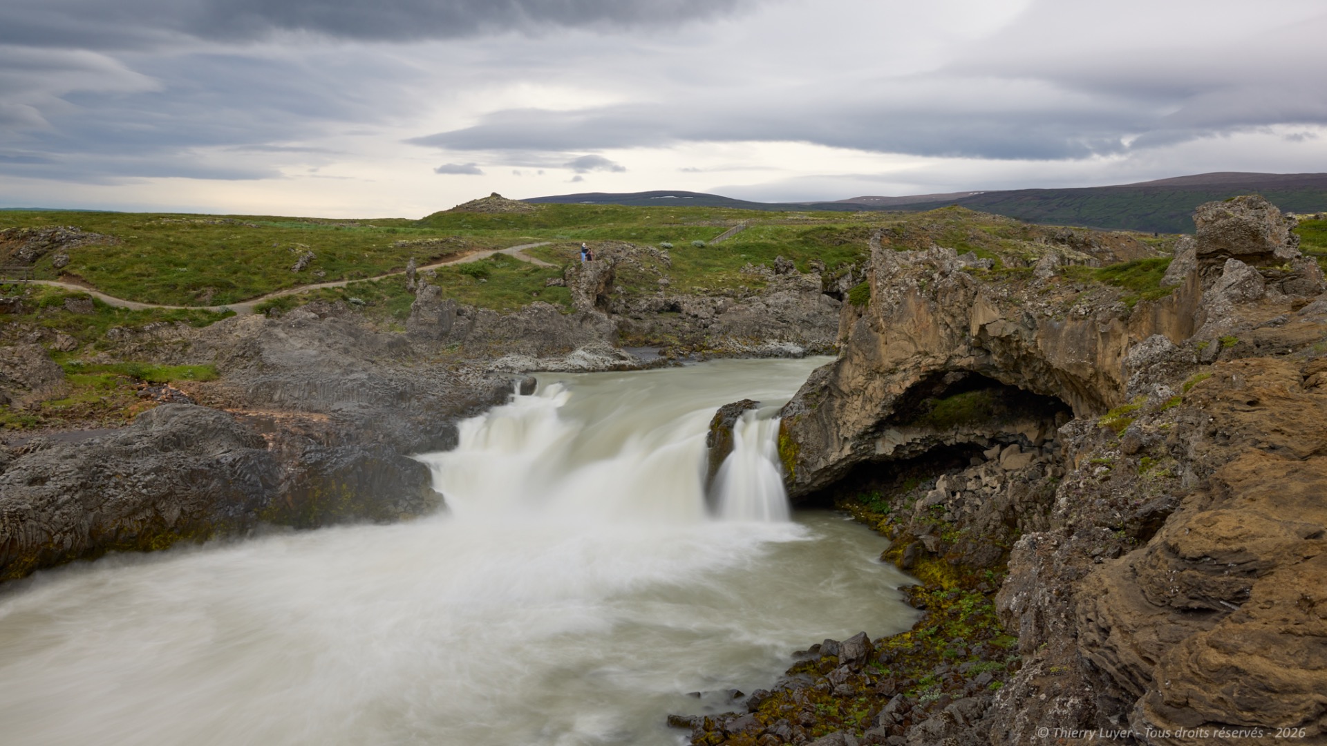
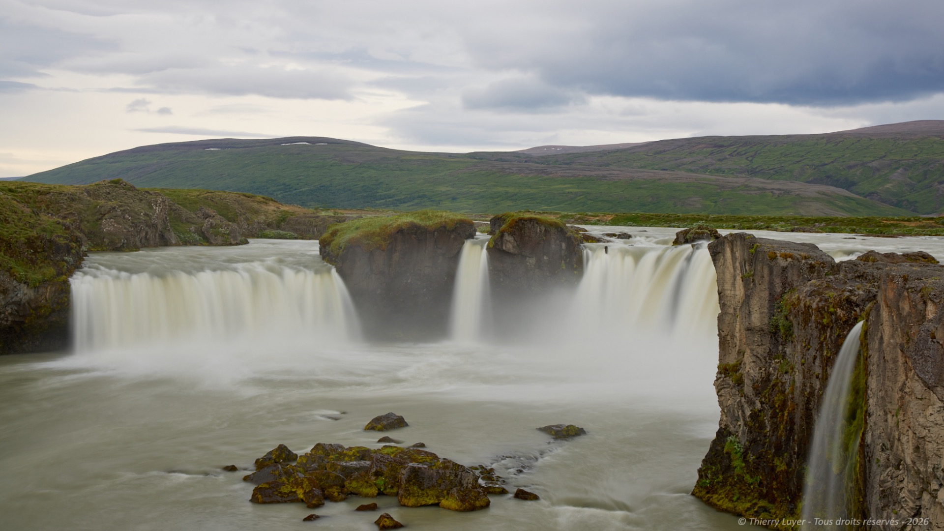
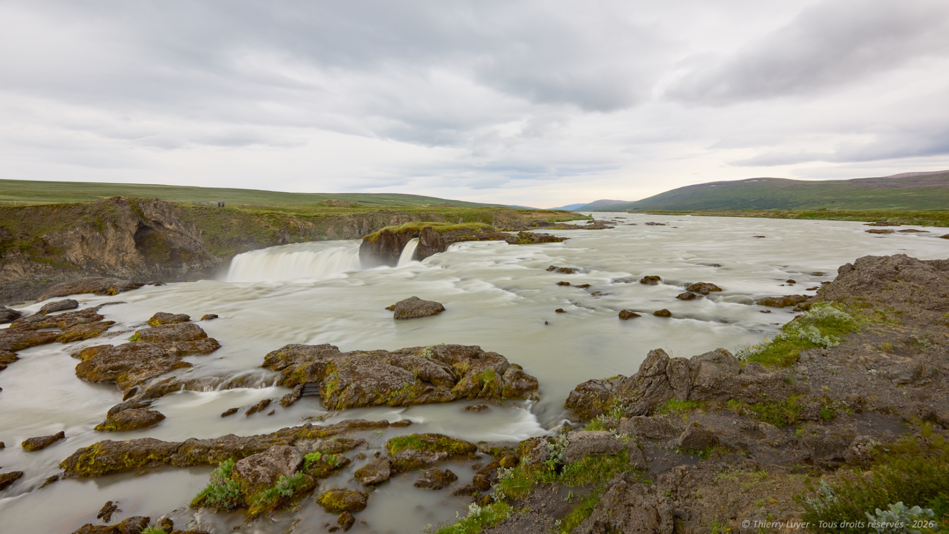
I pass through the town of Akureyri and cut through the mountains by taking the Ólafsfjarðarvegur, or Route 82, which is a long dirt track that crosses the Tröllaskagi peninsula. Complete change of scenery and full immersion in nature guaranteed!
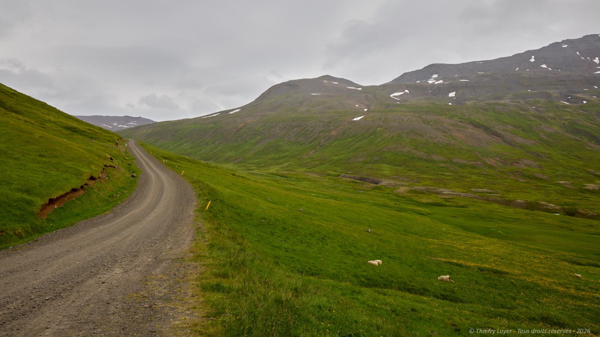
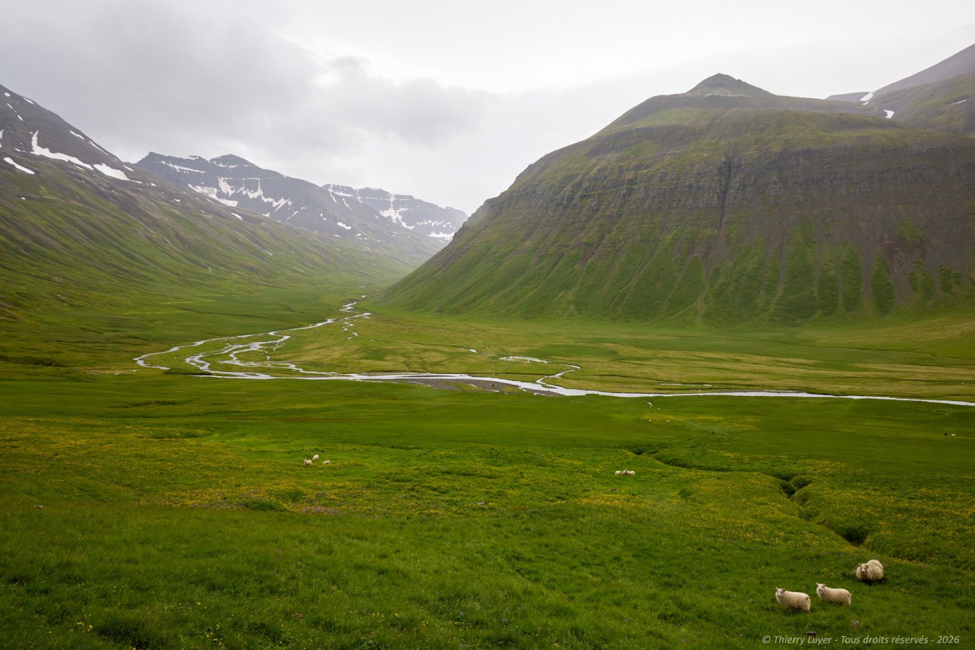
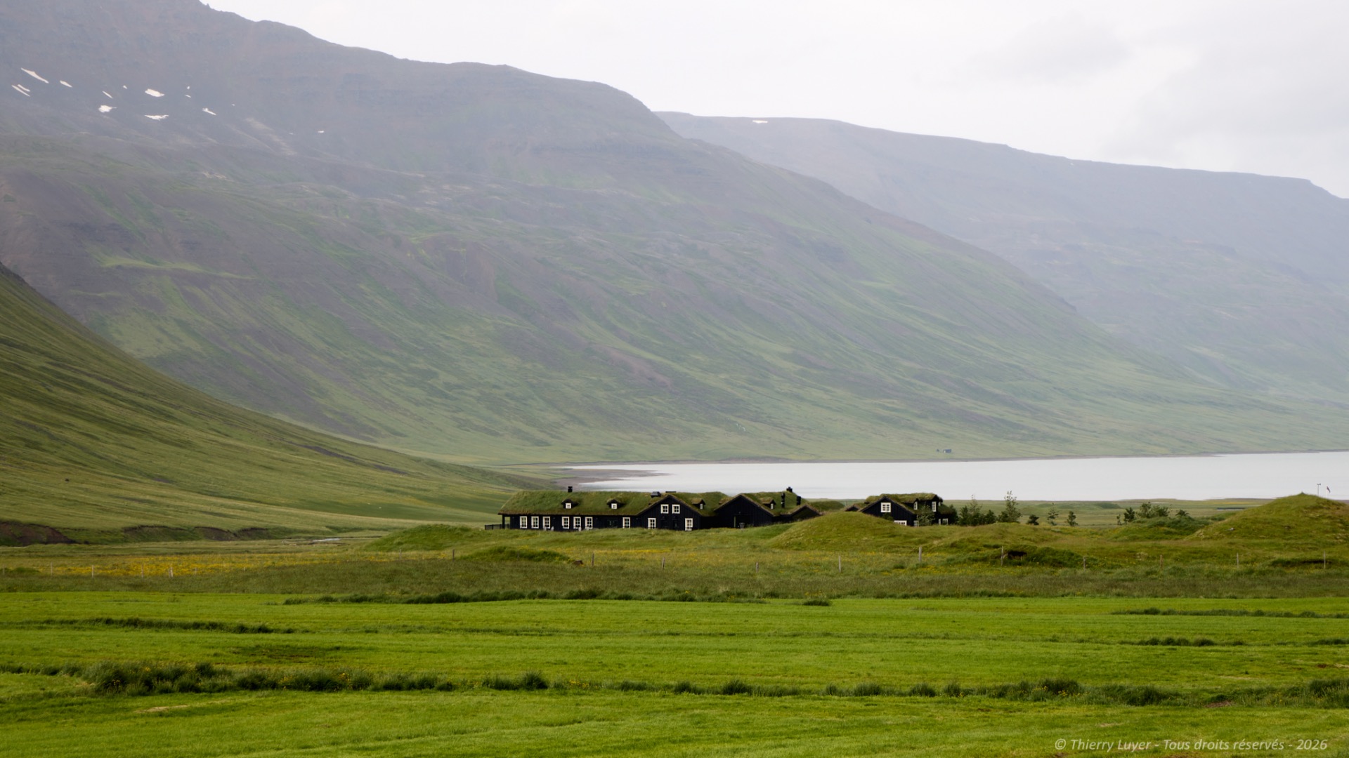
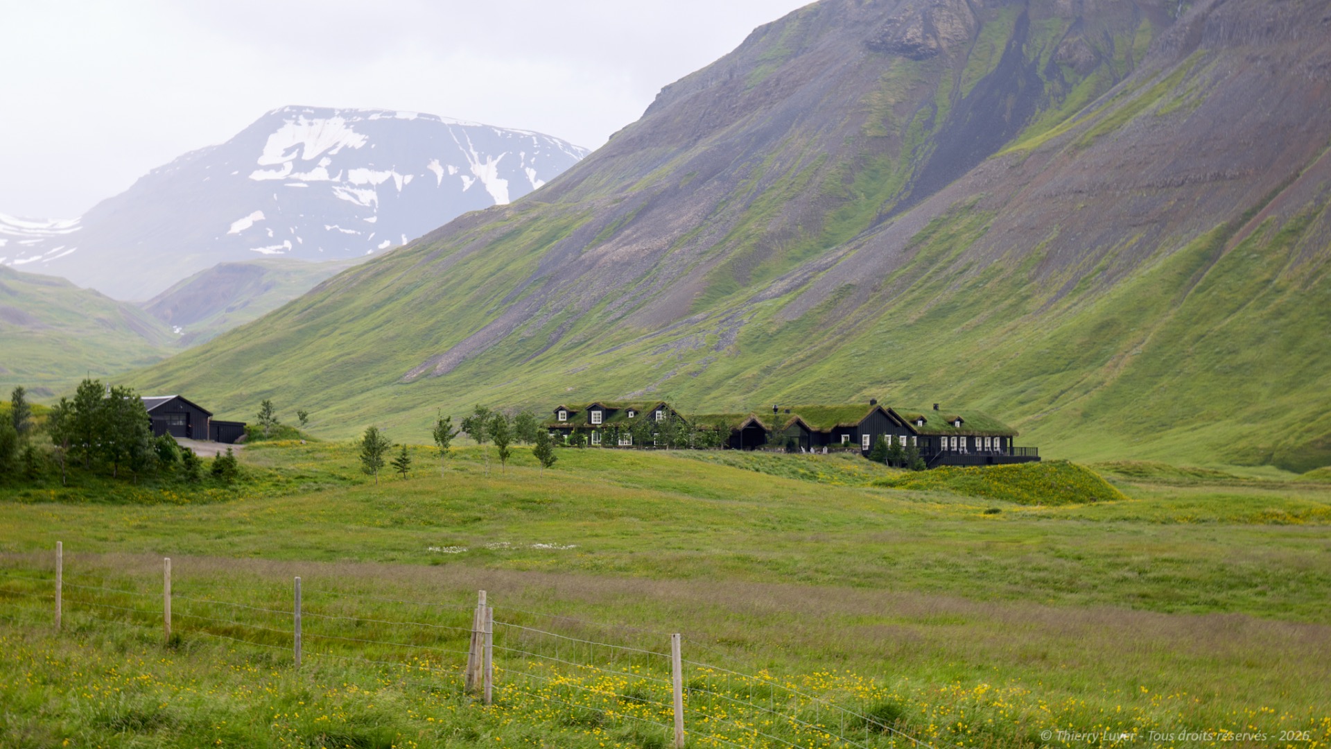
Below the slope and facing a small lake, a few chalets with green roofs are nestled amidst this green setting. A bit of research reveals it to be an ultra-luxurious lodge known as Eleven Deplar Farm.
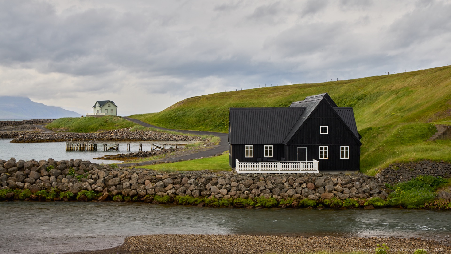
Once I'd crossed the mountain, I reached the shore of the Skagafjörður fjord again for a stop in Hofsós, a small village with a population of 190 in 2011. It is the final stop of the day after a 6-hour drive and 370 km.
Day 9
Now I am heading toward the west of the island, and the weather conditions are not improving: rain and fog are omnipresent.
My first stop will be the fifteen-meter-high basalt monolith of Hvítserkur. Standing proudly some 20 meters off the beach in the middle of the waves, this impressive rock is going to give me a hard time. The photos taken from the cliff do not turn out well; the sky and sea are extremely dark, and I am sorely lacking light... So I move on to plan B and decide to descend via the path that leads to the beach. That was without counting on having to cross dunes where Arctic terns nest and attack me! Fortunately, my beanie protected me from a few pecks. After an 800-meter walk on the beach, I reach the monolith. It is still just as dark... like a winter evening. Here too, the photos fail to capture the true scale of the site...
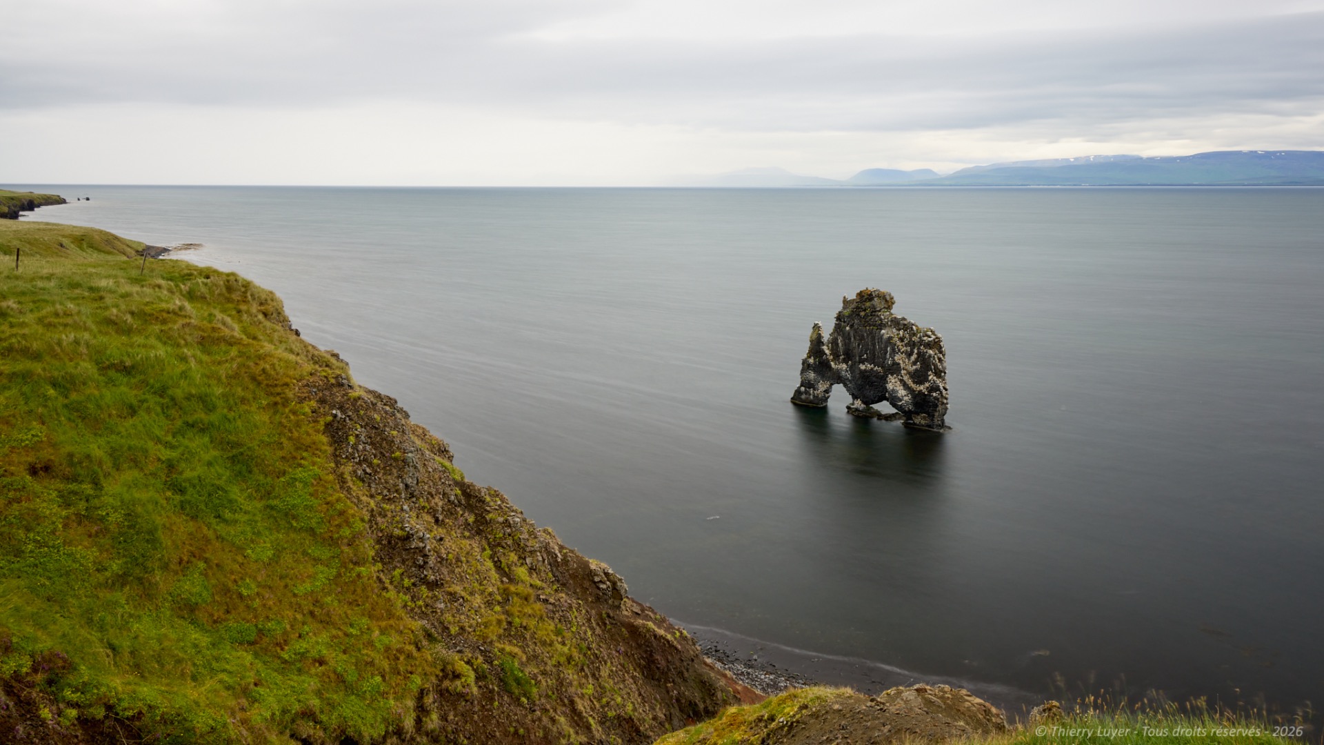
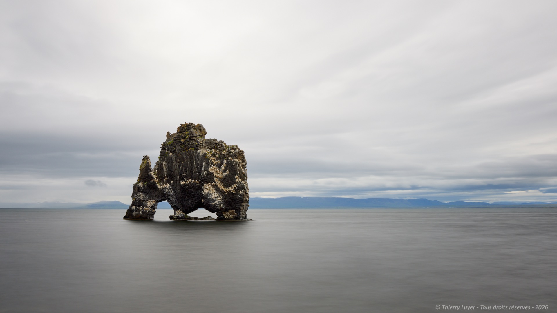
The ancient Icelanders saw this basalt boulder as a troll. Legend has it that this troll came from Strandir in the west and that, hating Christians and the sound of bells, he was caught in the sun's rays whilst throwing stones at the nearby monastery at Þingeyrar, and was then turned to stone!
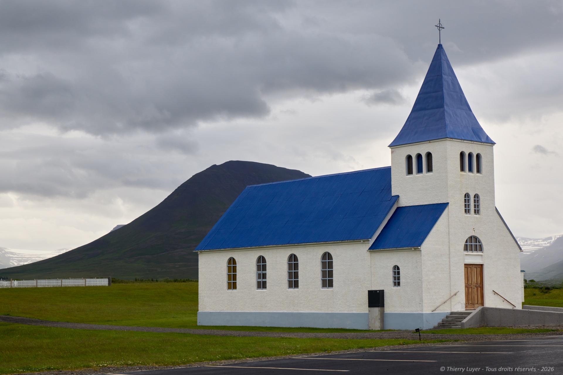
Still driving westward, I make a stop along the side of the road to take a look at this small church in Prestbakki and its graveyard with white crosses, which contrasts against this still-threatening sky.
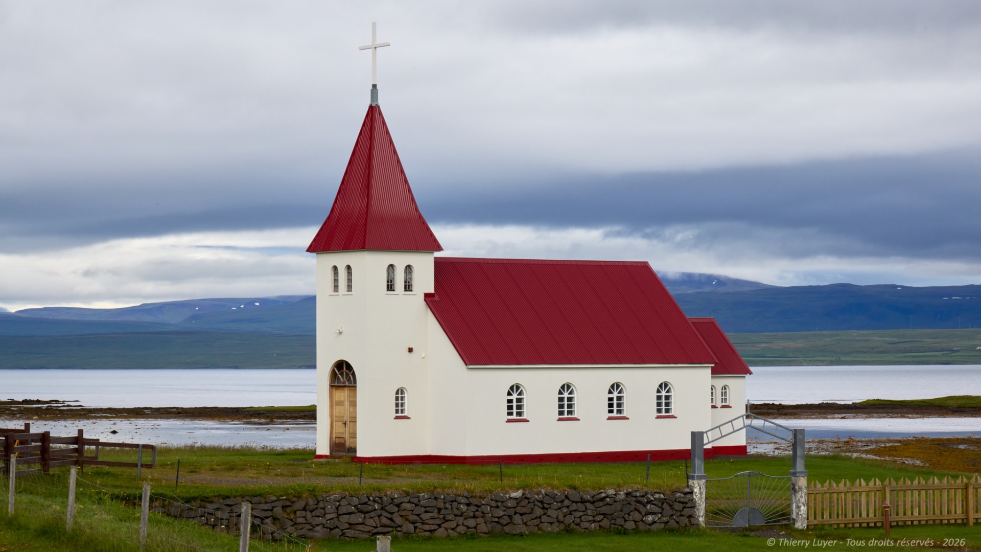
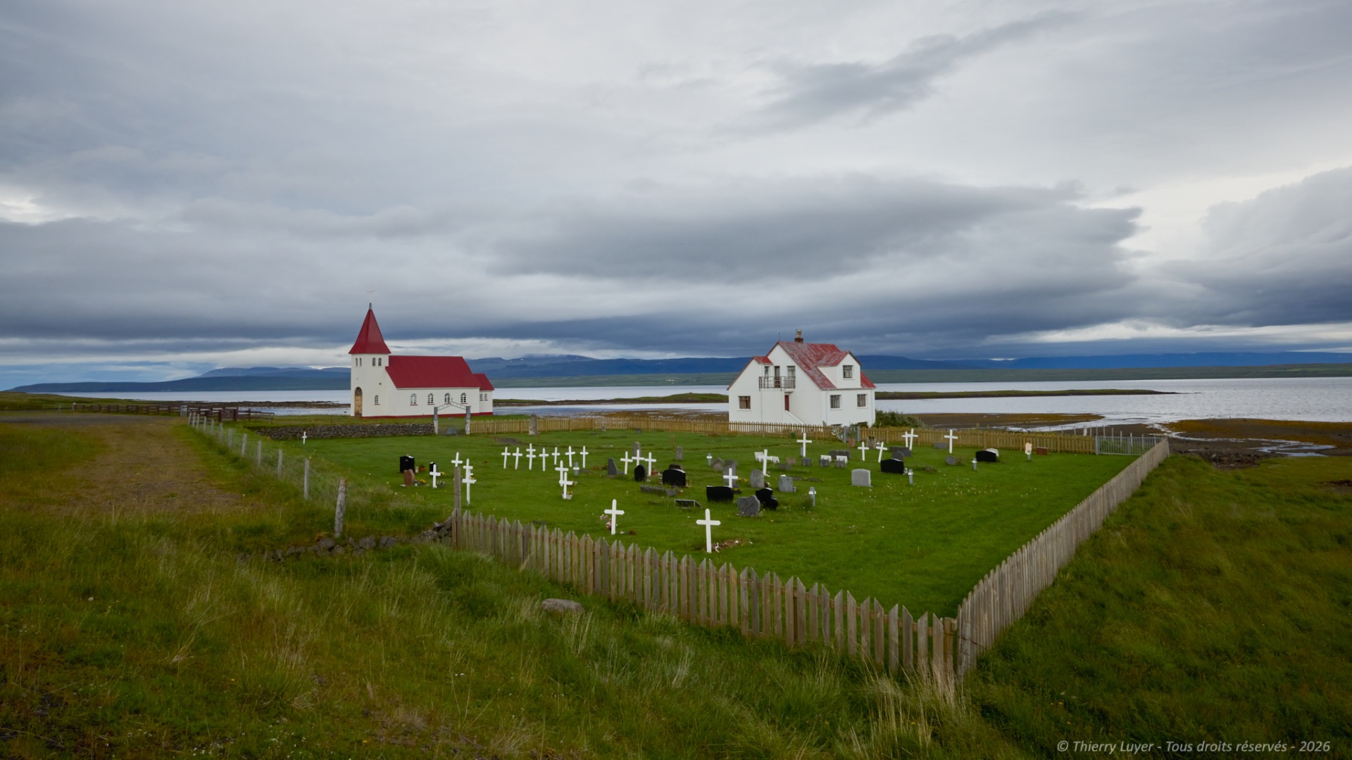
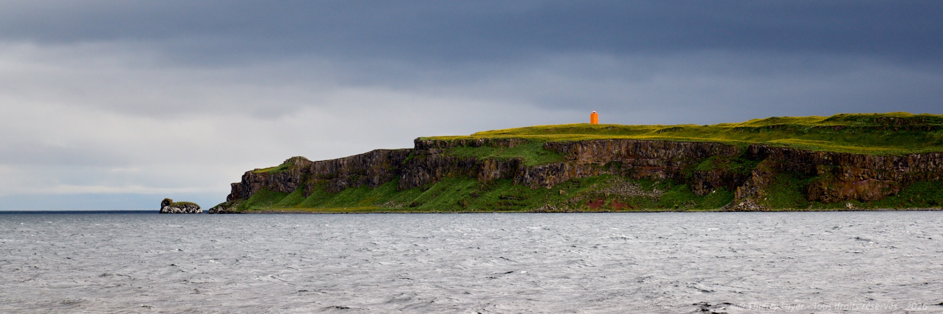
My last photo of the day, after 360 km and 5 hours on roads and tracks, will be of Grimsey Island and its lighthouse in the late evening.

Day 10
Today, I am driving along Ísafjarðardjúp, « the deep icy fjord », the longest of the fjords in Northwest Iceland with its multiple bays. This fjord is home to a wealth of birdlife: you can spot numerous birds here, such as guillemots, puffins, eiders, Arctic terns and swans... But also seals...
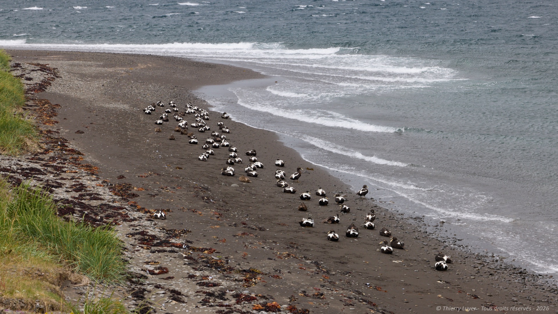
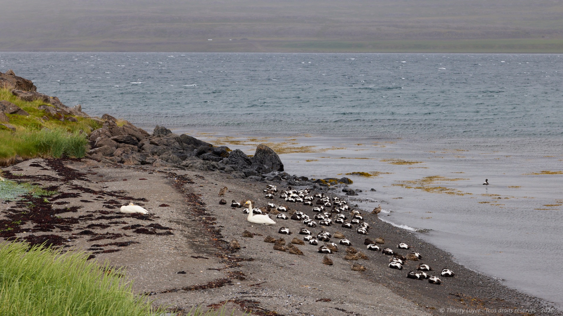
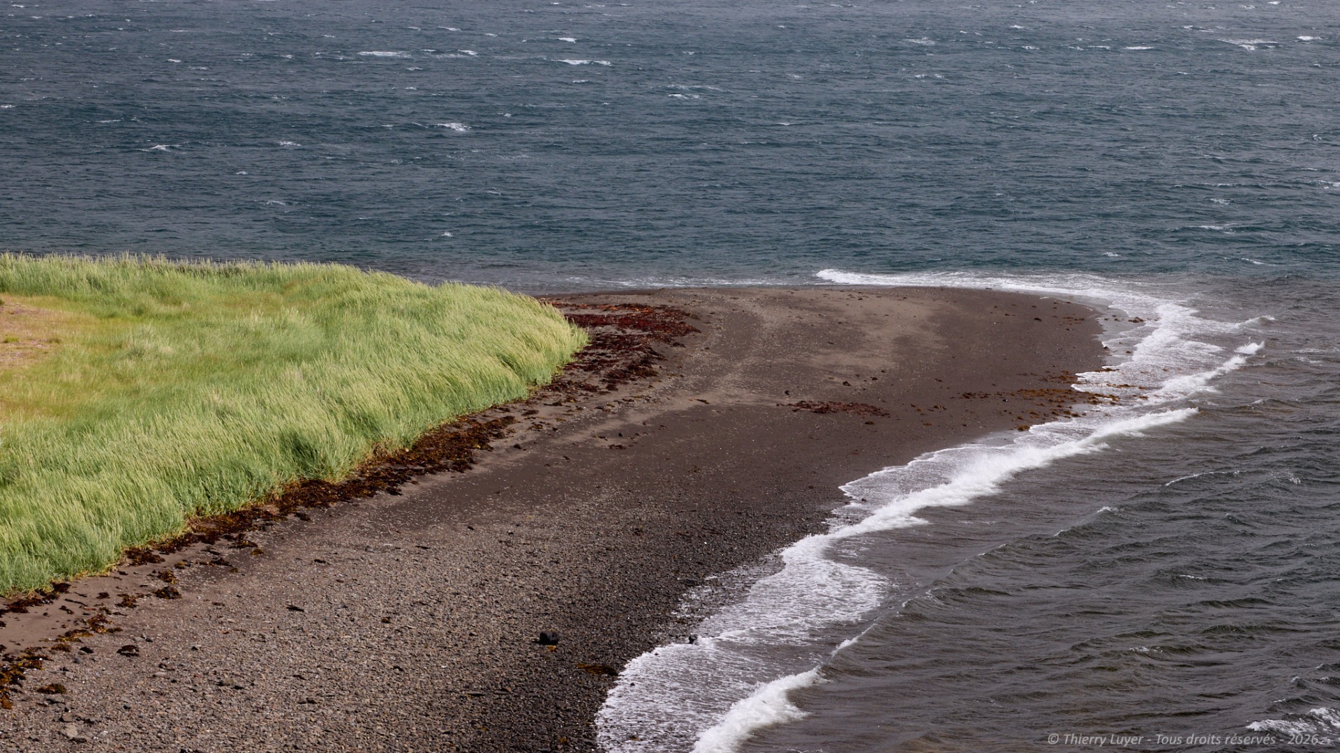
And always waterfalls and those black-sand beaches, which create stunning contrasts!
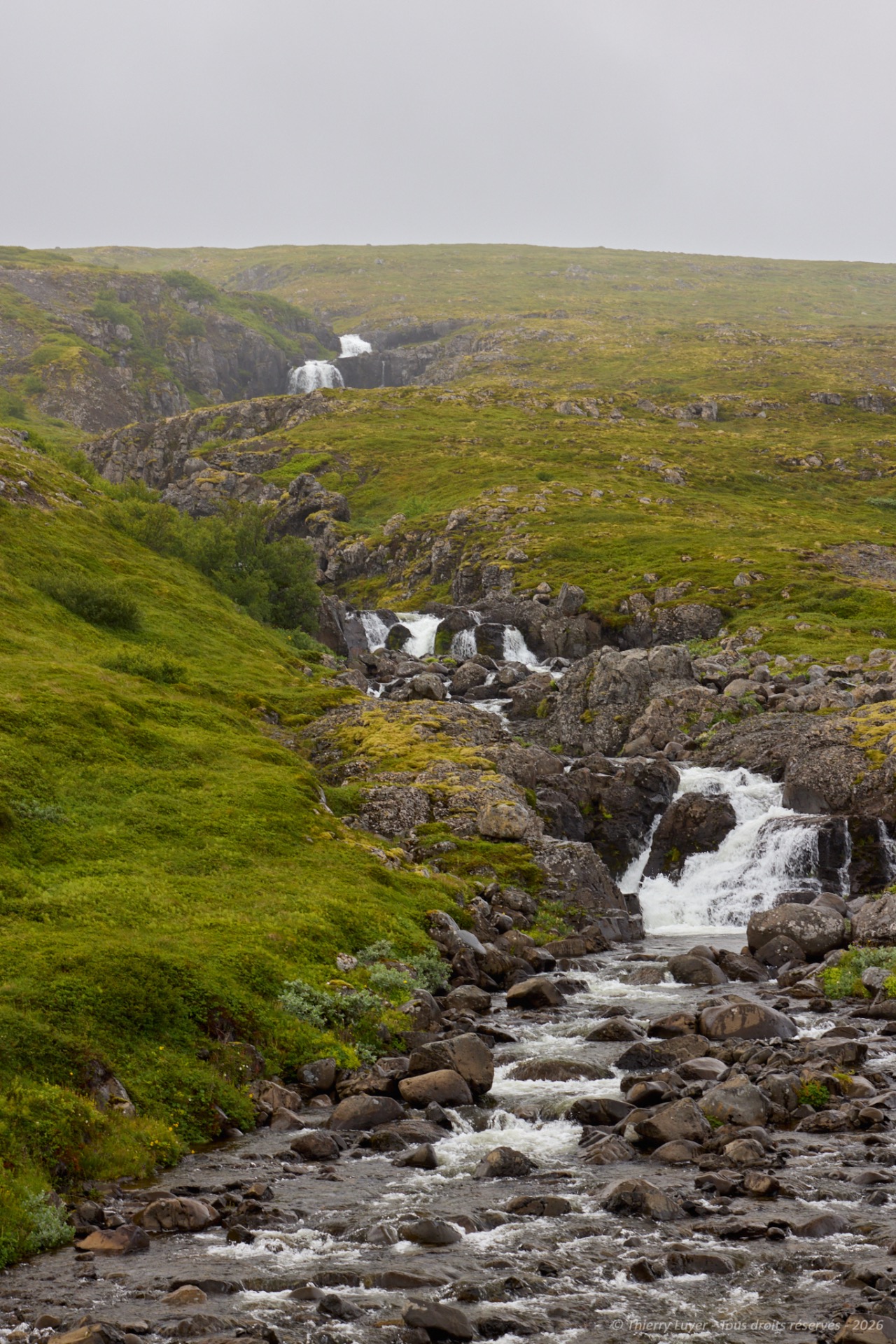
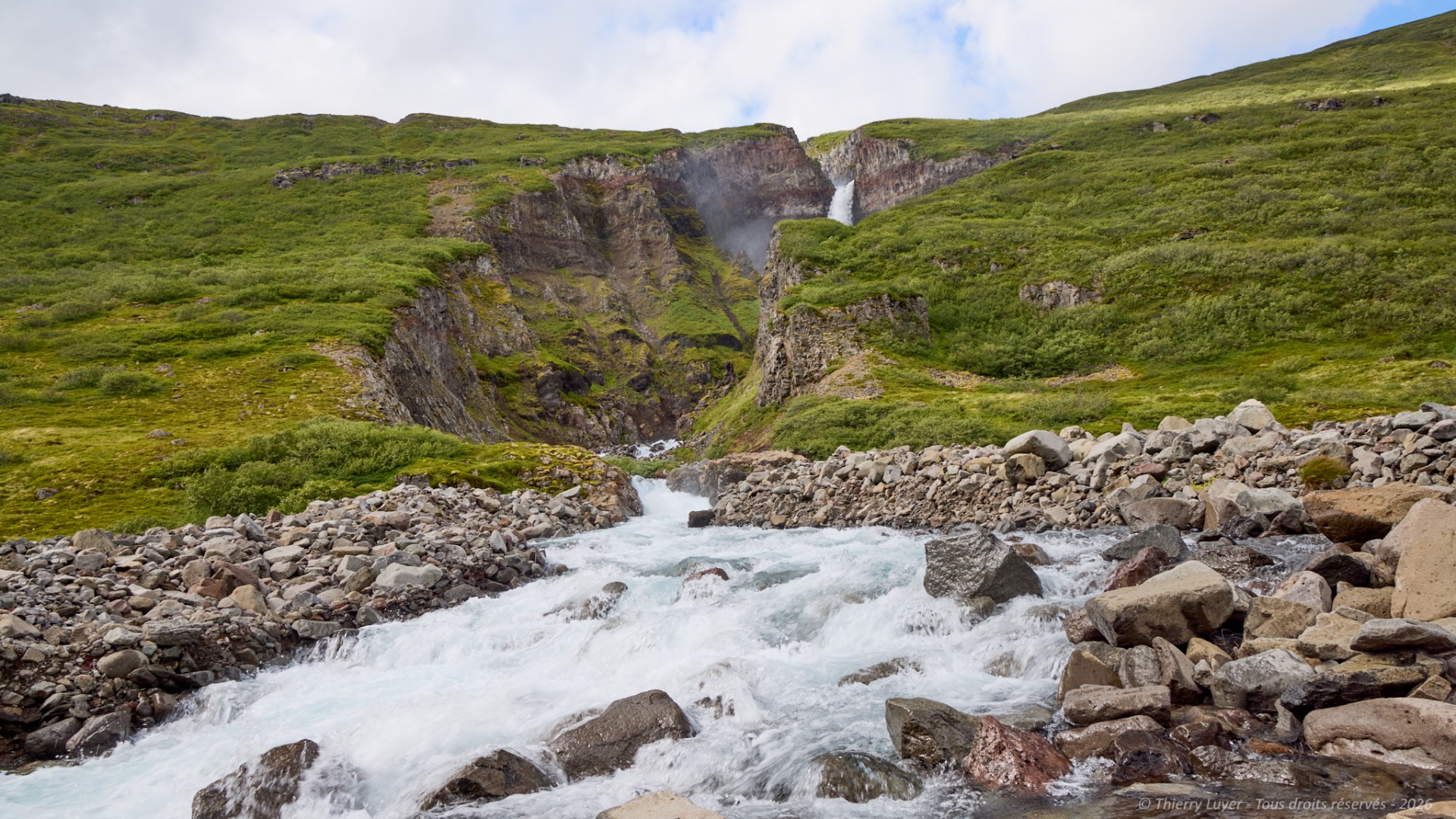
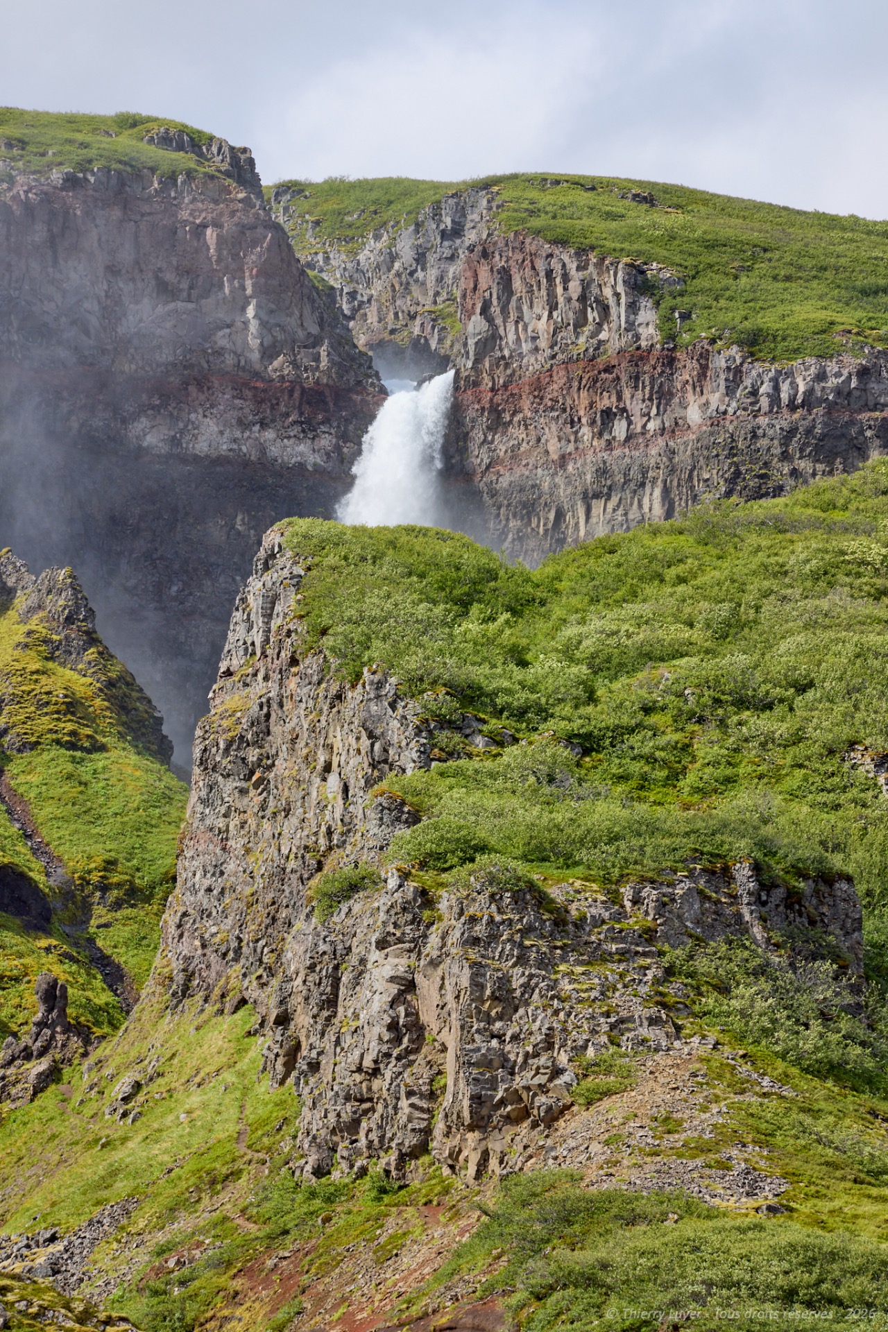
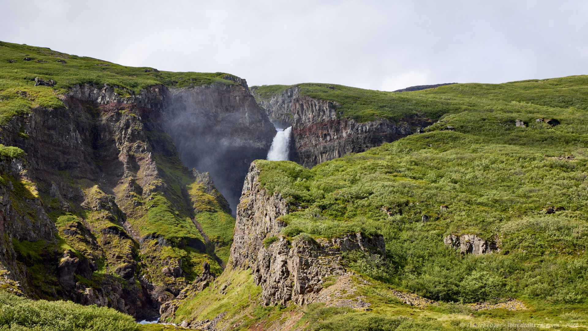
Around a bend, the Lambagil waterfall cascades down rocky cliffs, surrounded by lush greenery and rugged terrain in a spectacular landscape. Here, there are no tourists—only nature lovers and hikers come to listen to the soothing sound of rushing water while enjoying the peaceful atmosphere of this pristine setting.
The day comes to an end after 300 km and nearly 3 hours and 30 minutes of driving.