
Iceland – Land of Contrasts Part 4
The Western Lands
Day 11
On Iceland's western Atlantic coast, which bears the brunt of oceanic depressions, the weather is deteriorating even further... Could this be the Brittany of Iceland? I leave Ísafjörður, where I spent the night, in rainy weather with a low, overcast sky and reduced visibility...
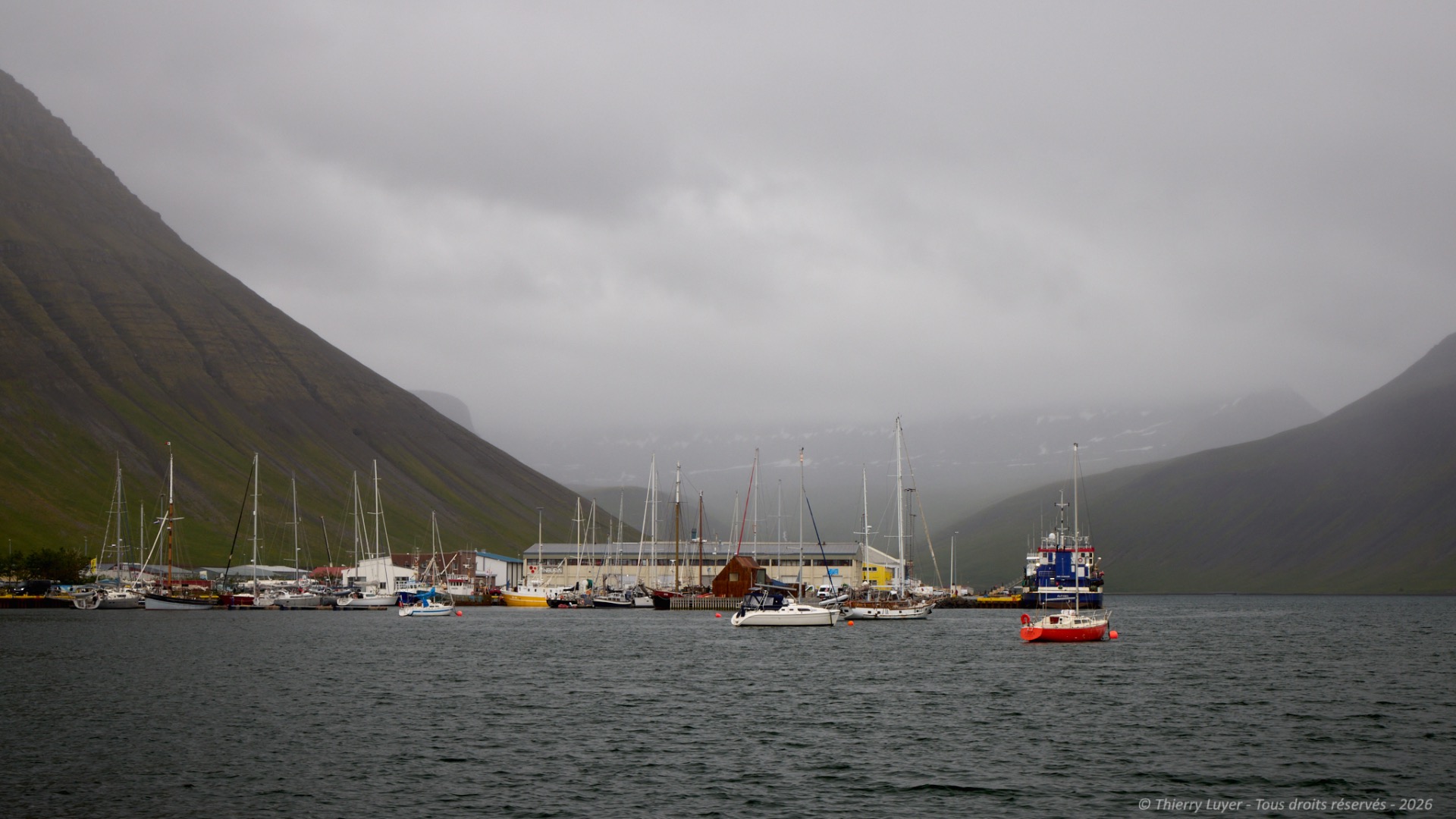
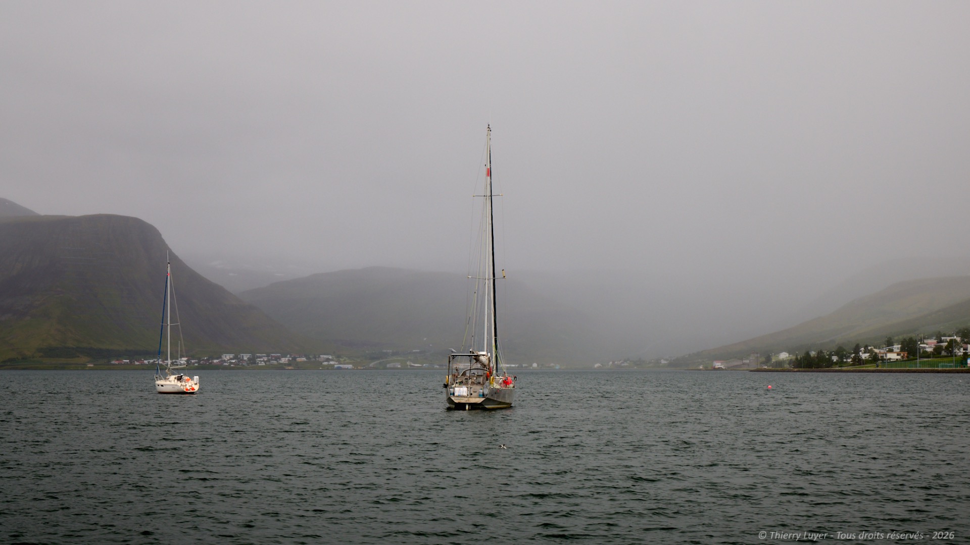
My first stop this morning is a wooden jetty in a stunning bay, far off the beaten track, known as Önundarfjörður Pier. I absolutely love this peaceful spot.
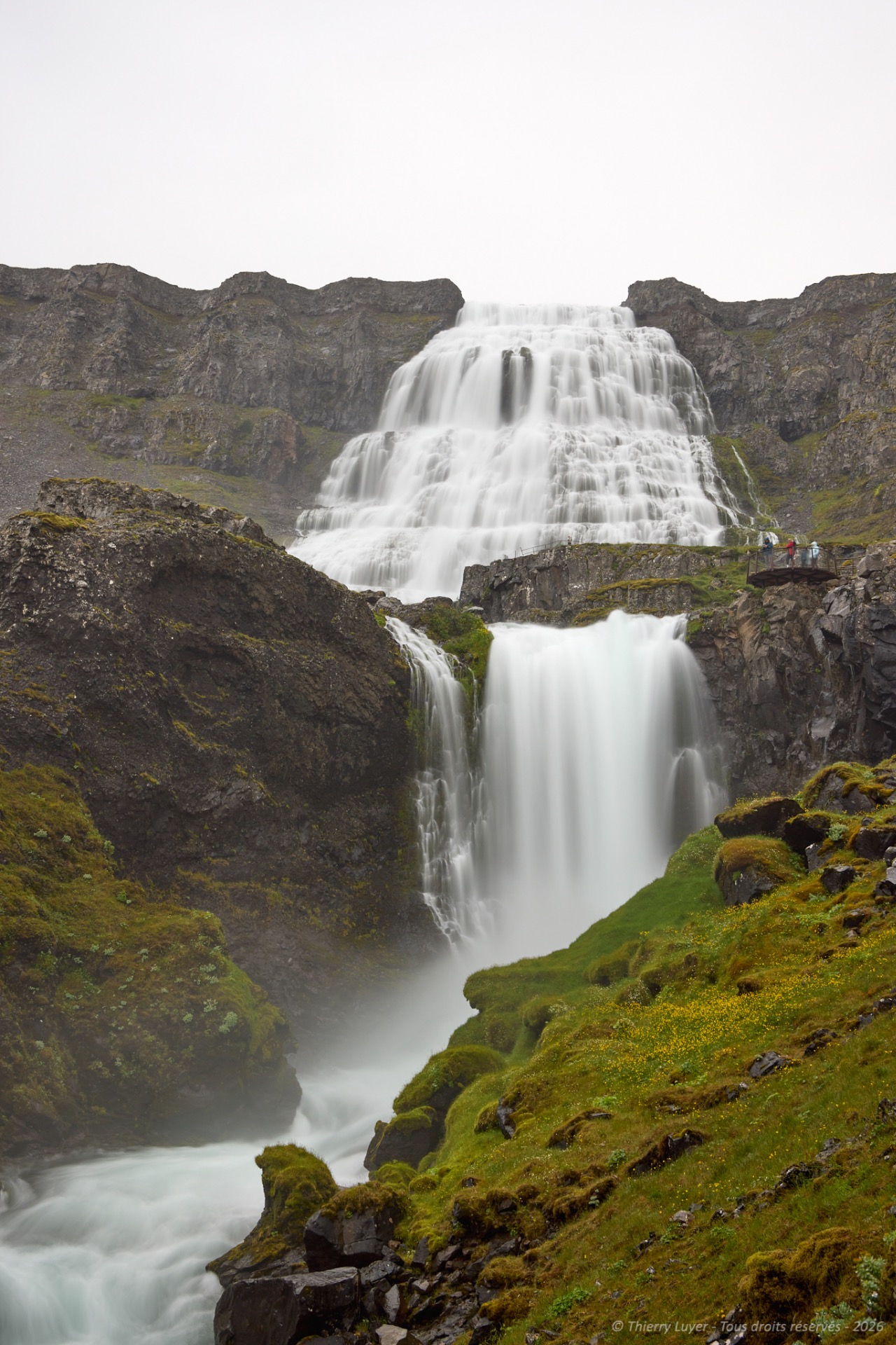
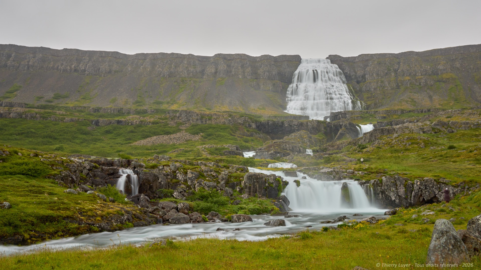
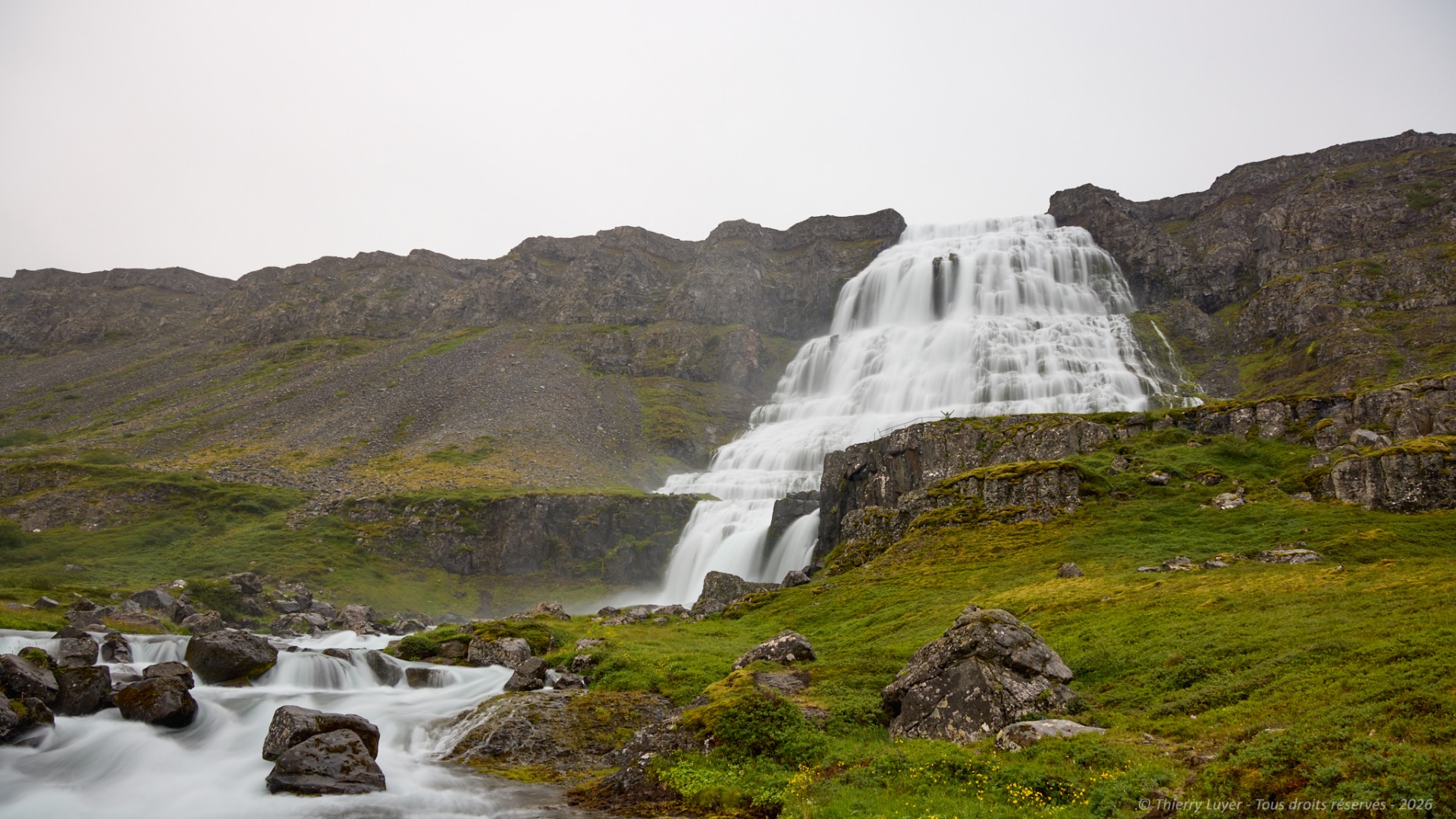
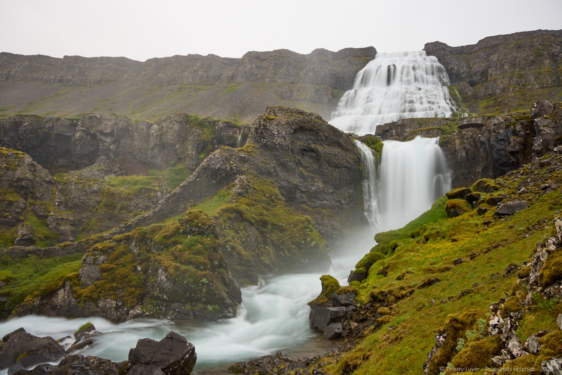
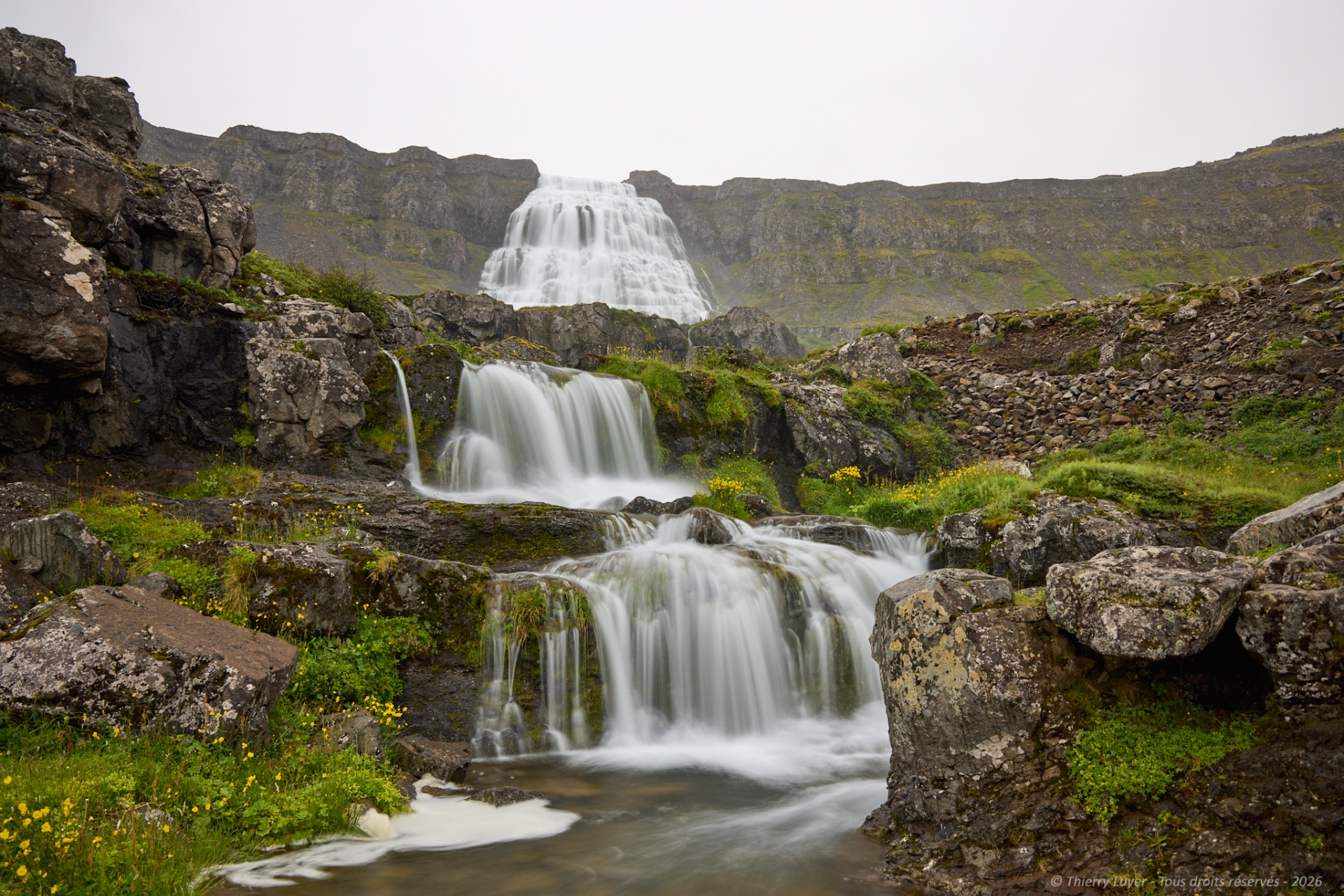
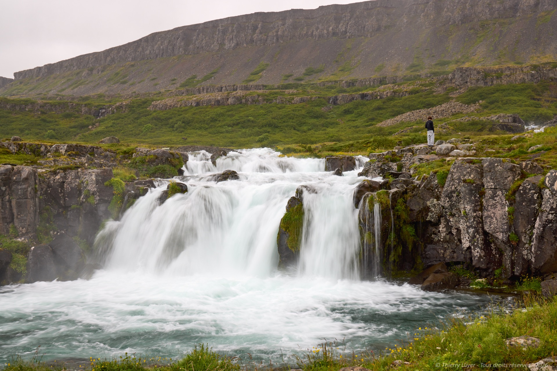
I then carry on towards Dynjandi. At 100 metres high, Dynjandi Waterfall is the largest in the Westfjords. In fact, the name of the whole complex is Fjallfoss, literally « mountain waterfall », and it comprises a series of seven waterfalls.
The main waterfall is around 30 metres wide at the top and no less than 60 metres – almost 100 metres – further down… What makes it unique is that the water does not fall vertically, but follows the rock face before cascading directly into six other falls. After the final fall, the torrent flows into the waters of the fjord.
I head toward Látrabjarg, a cape whose cliffs stretch over 14 km of coastline, peaking at 444 meters, and known as the westernmost point in Europe. Látrabjarg is especially renowned for the millions of birds that inhabit its cliffs in summer and is said to host the largest colony of Atlantic puffins in the world, with no fewer than 6 million individuals.
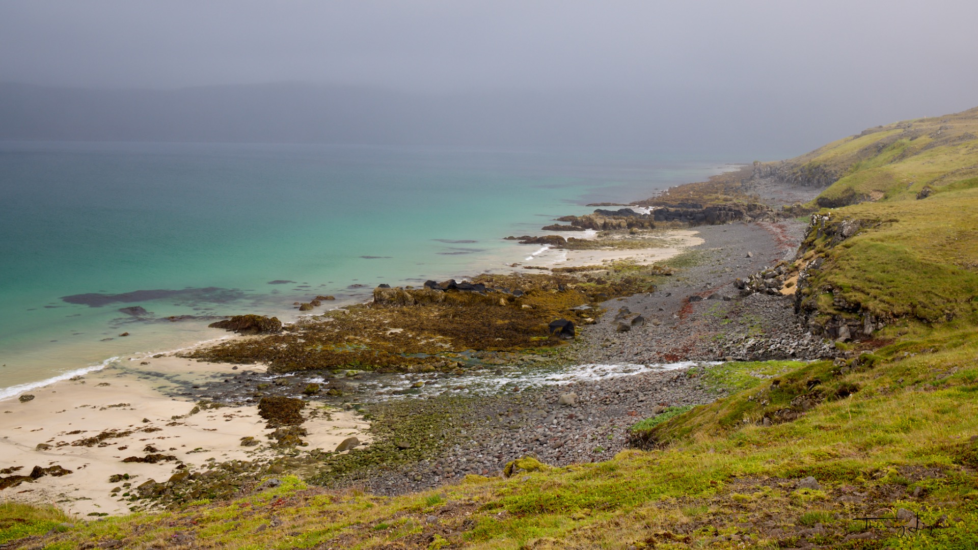
But here's the thing… the long track leading there becomes impassable after 45 km without a proper 4x4, forcing me to turn back, despite a turquoise sea that must be magnificent in fine weather…
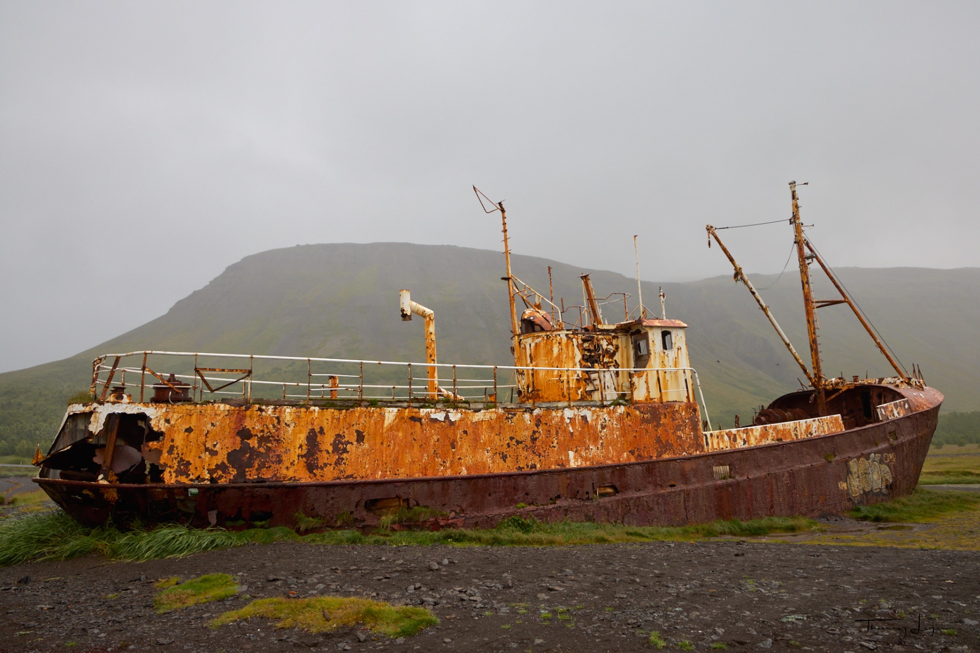
On the way back, I stop to look at this wreck* stranded on the beach. The Garðar BA 64 is Iceland's oldest steel wreck. Built in Norway in 1912 and used for whaling and later for fishing, it was deliberately beached in 1981 on a sandy beach near Patreksfjörður.
* If you're interested in old shipwrecks and their history, visit my other website, Mémoires d'épaves.
The day ends after 245 km and 4 hours and 40 minutes of driving on roads and tracks.

ay 12
Bad news... the ferry that was supposed to take me across from Brjánslækur to Stykkishólmur has been canceled. I'll have to drive around the coast instead, and this transfer day is going to be a long one—about 6 hours of driving for 430 km!
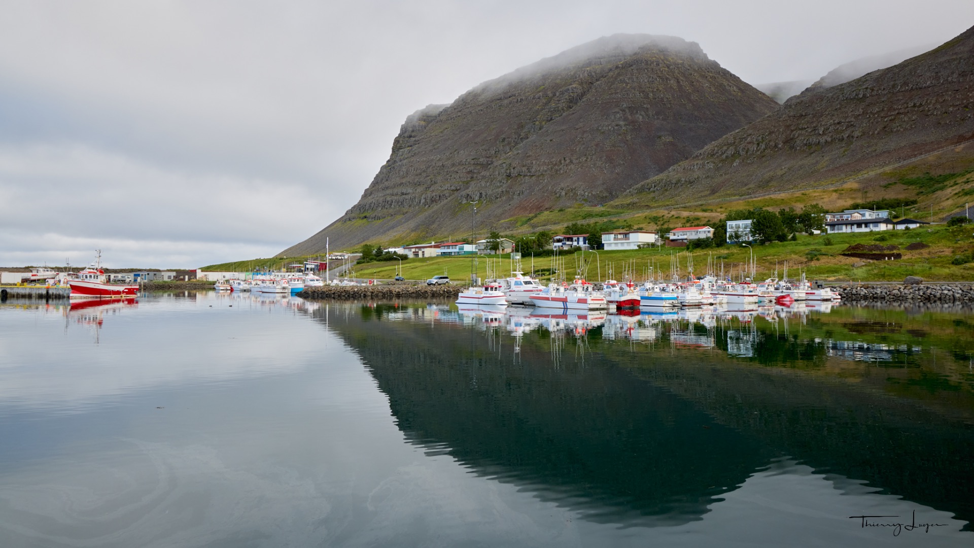
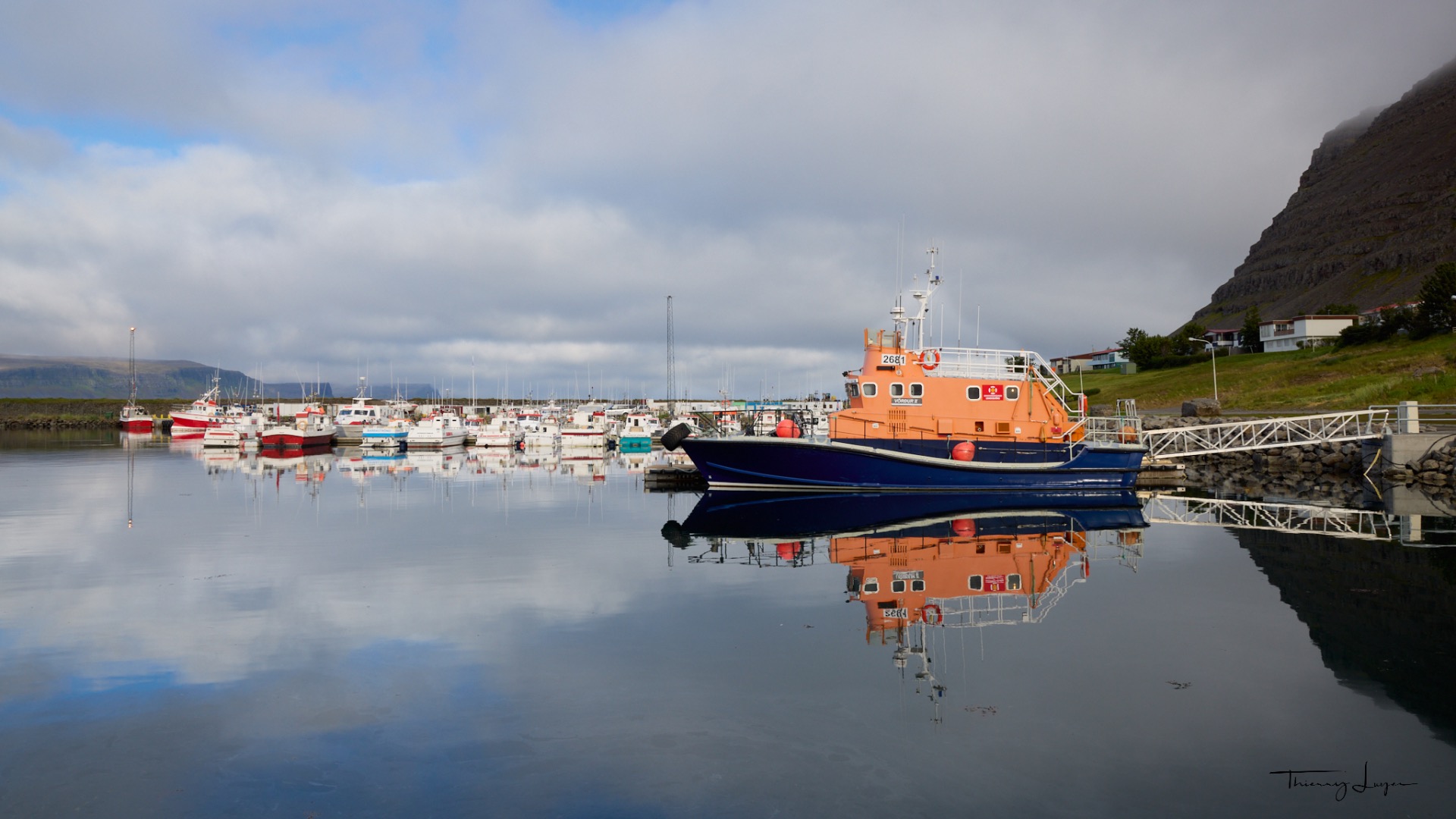
I manage to capture a few shots of the small port of Patreksfjörður where I spent the night before heading out.
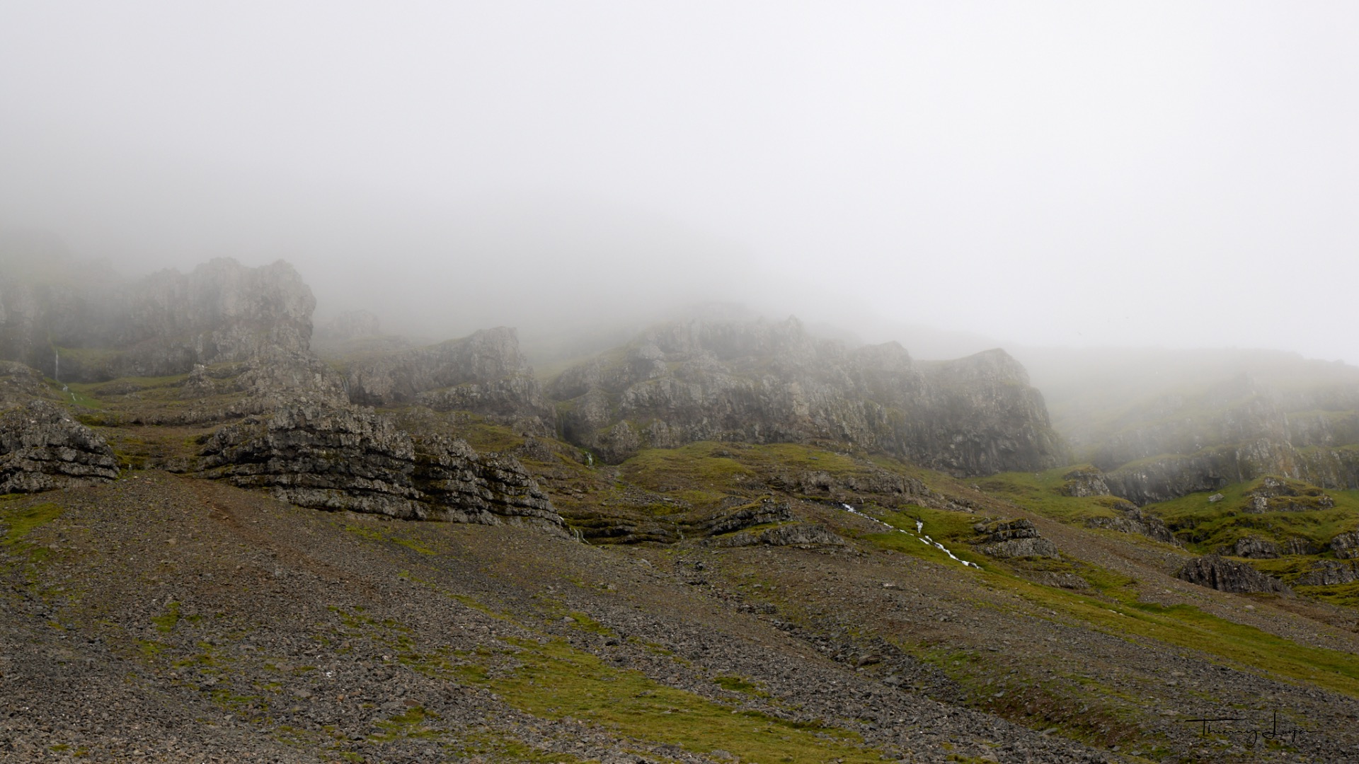
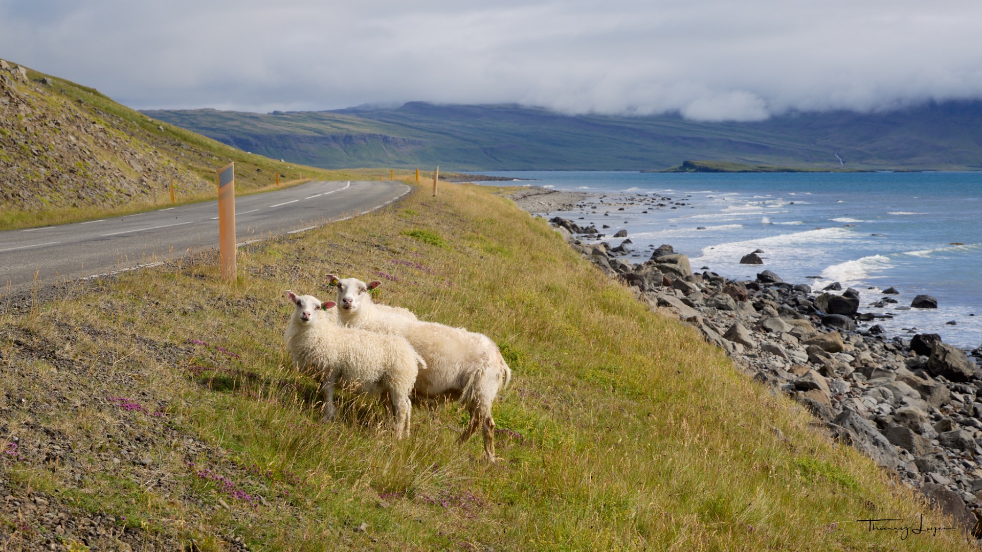
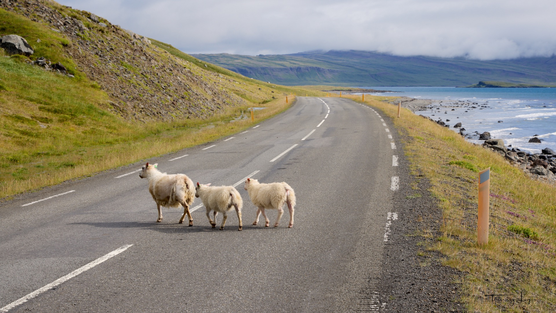
On the road that runs alongside the mist-shrouded mountain near Vatnsfjörður, I stop to take a photo of these sheep. There are over 800,000 of them in Iceland – more than double the human population, which stands at around 340,000. Good to know: sheep always have right of way on the road!!!
Day 13
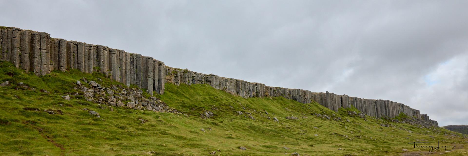
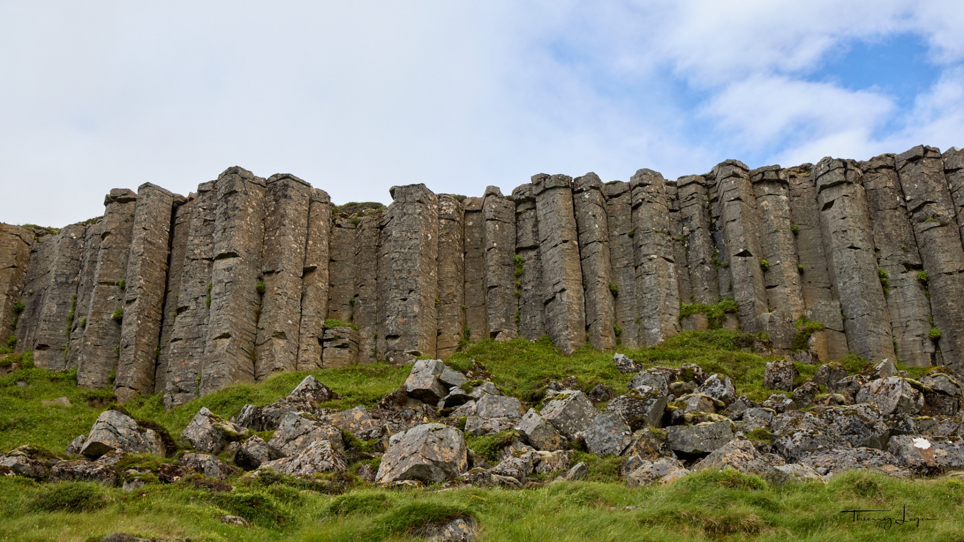
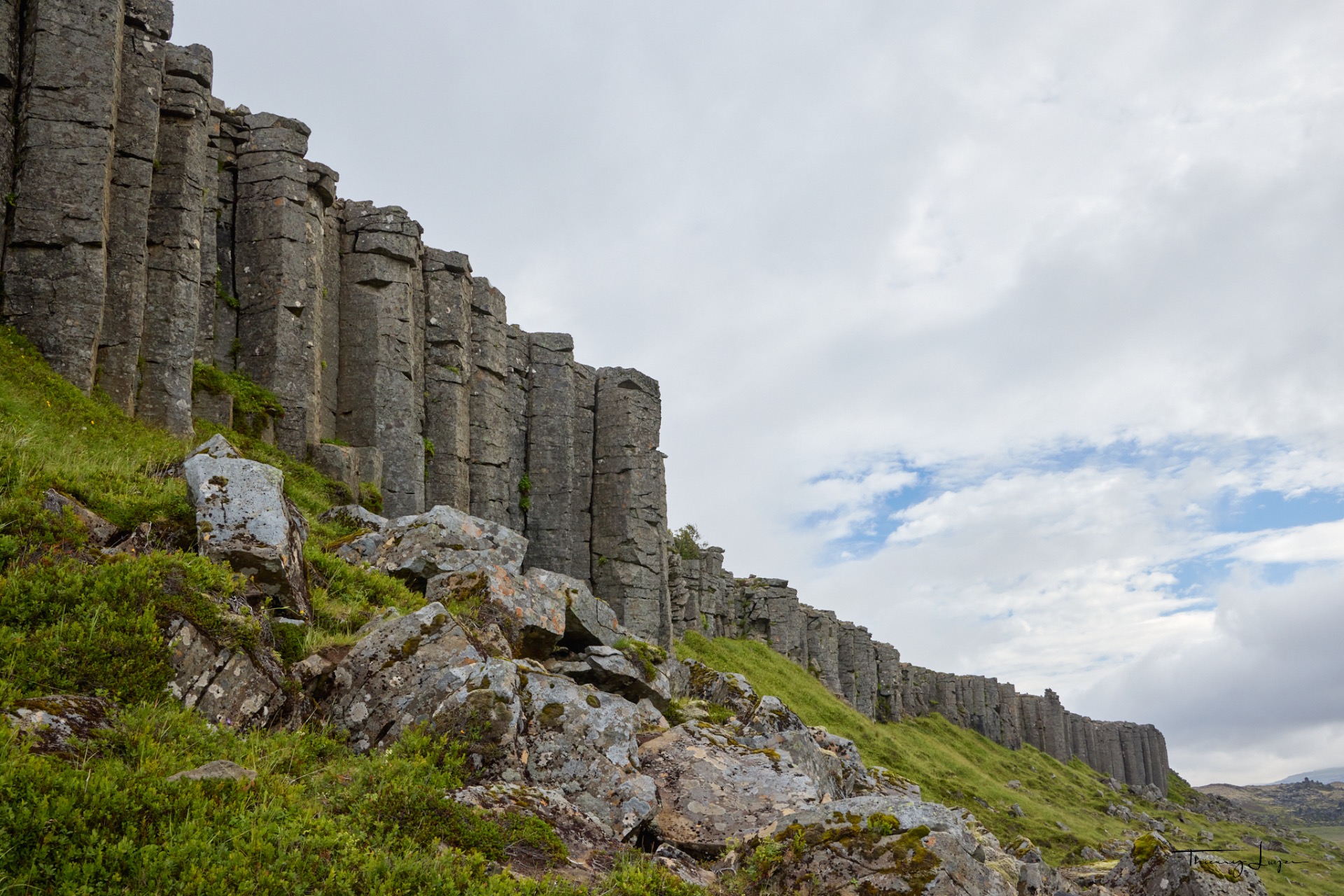
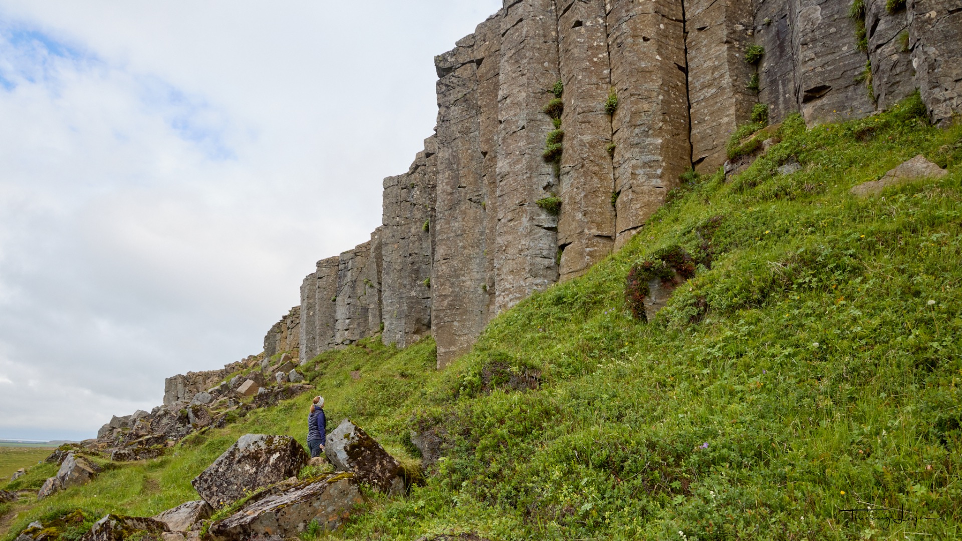
The first curiosity of this morning is the Gerðuberg Cliffs, a cliff over a kilometer long made up of large hexagonal basalt columns located on the southern coast of the Snæfellsnes peninsula in western Iceland. These basalt columns, all strikingly uniform, stand between 7 and 14 meters high and measure up to 1.5 meters wide.
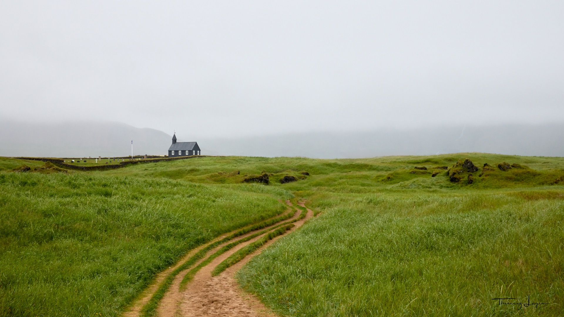
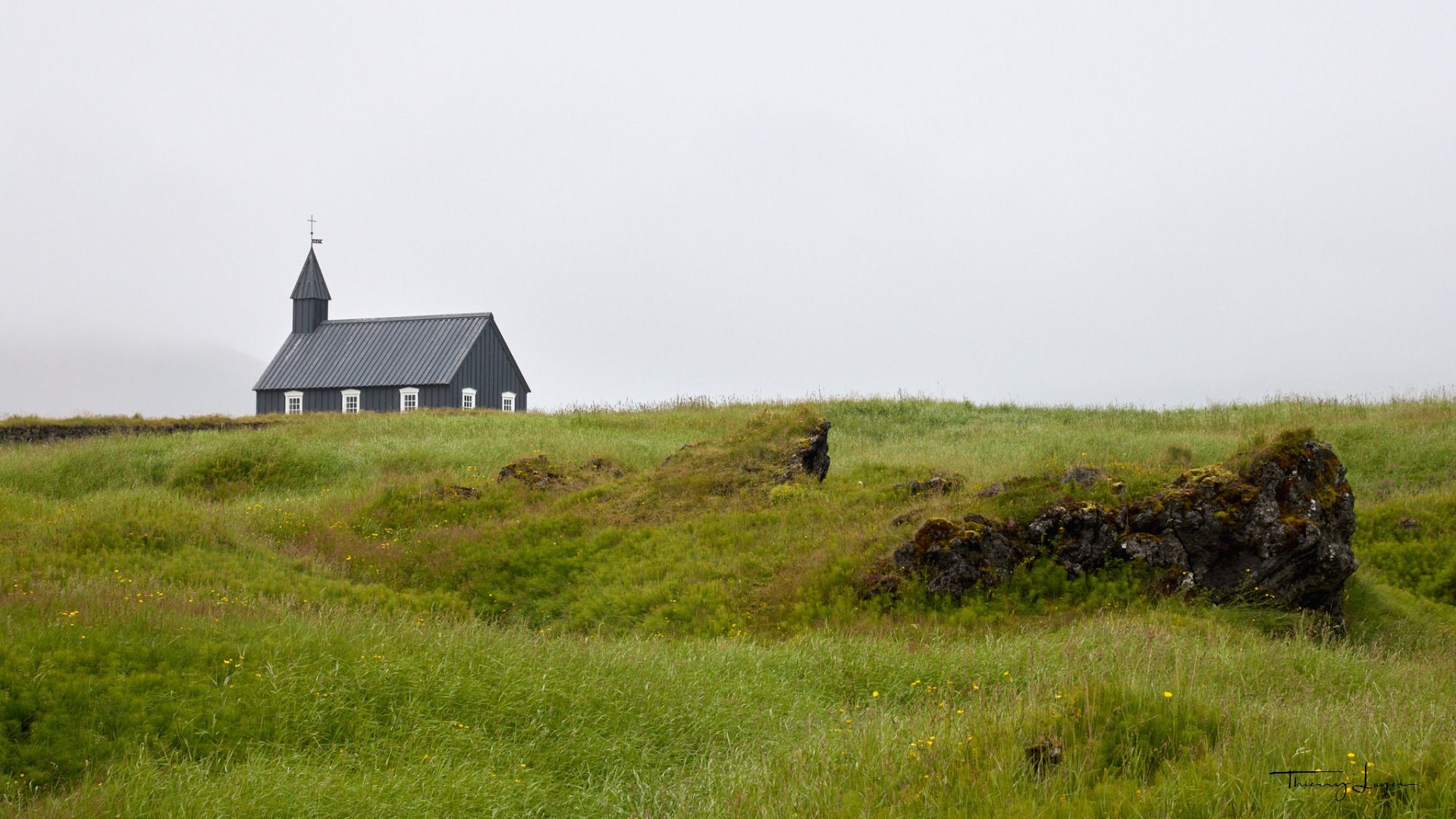
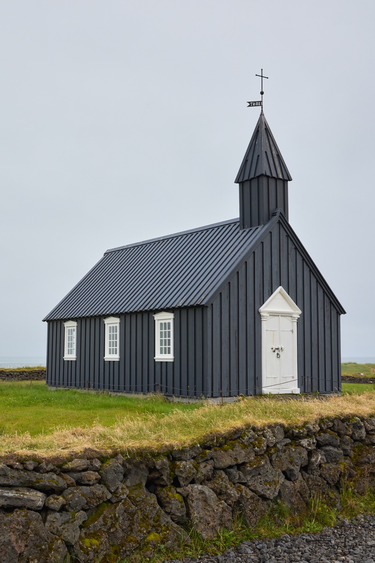
My next spot is Búðir and its iconic church, the Búðakirkja. Painted entirely in black with white doors and windows, the church creates a striking contrast with the surrounding landscape. Originally built in 1703, the current structure dates back to 1848 and was renovated in 1987 while preserving its original design.
Surrounding the church is the Búðahraun lava field, which is 5,000 to 8,000 years old. This expanse of moss-covered volcanic rock is designated as a nature reserve.
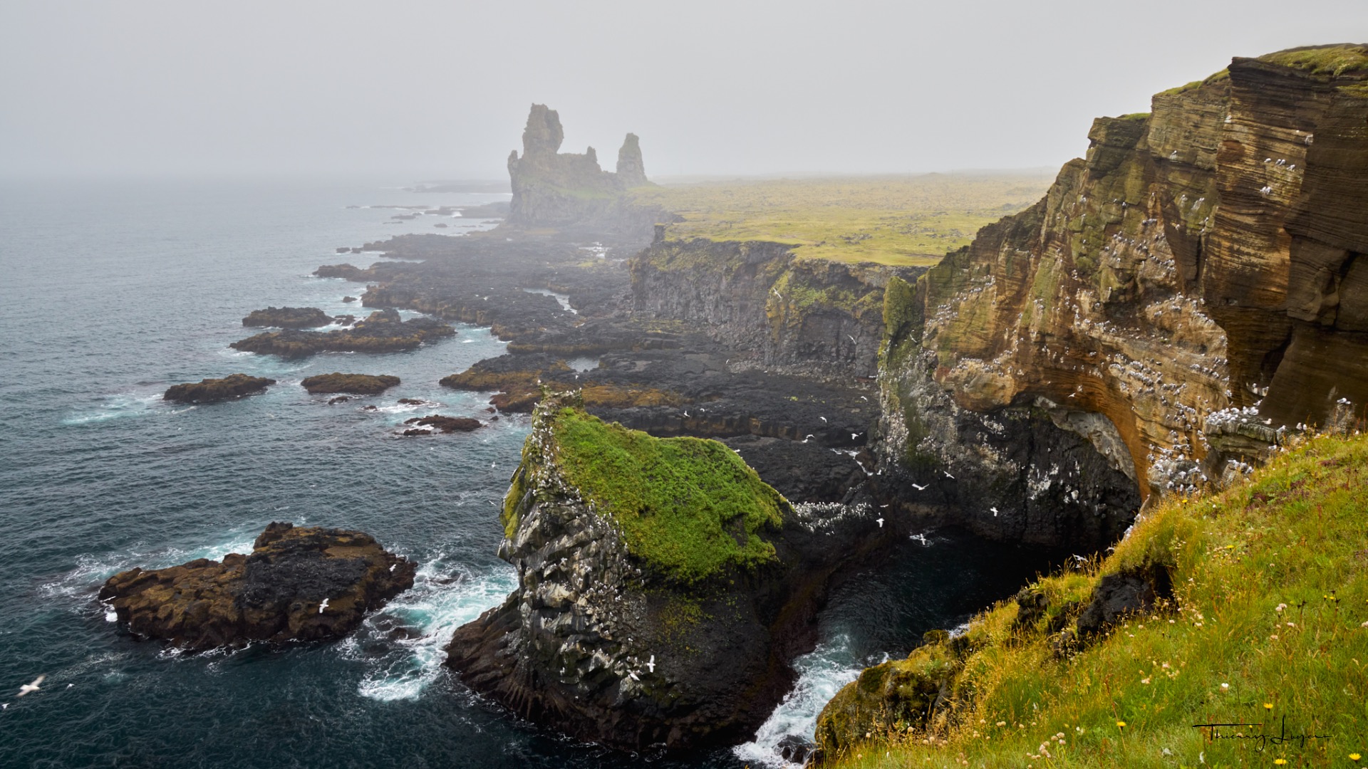
Continuing further west, I reach the Lóndrangar cliffs, with their seabird colonies and two prominent rock pinnacles rising 75 and 61 meters respectively. But amidst the fog and rain, unsurprisingly, the photos fail to capture the true scale and beauty of the location in these conditions!
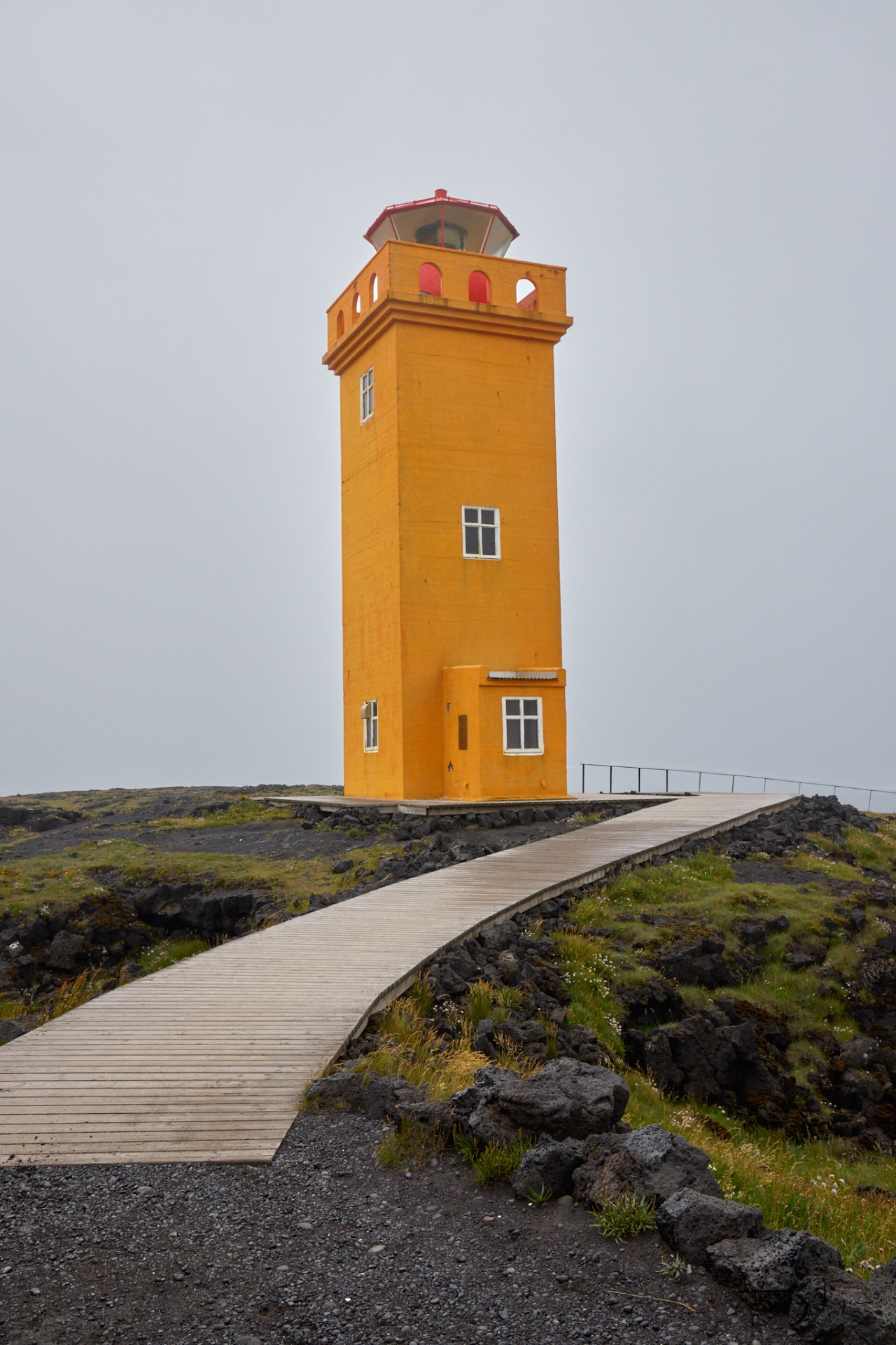
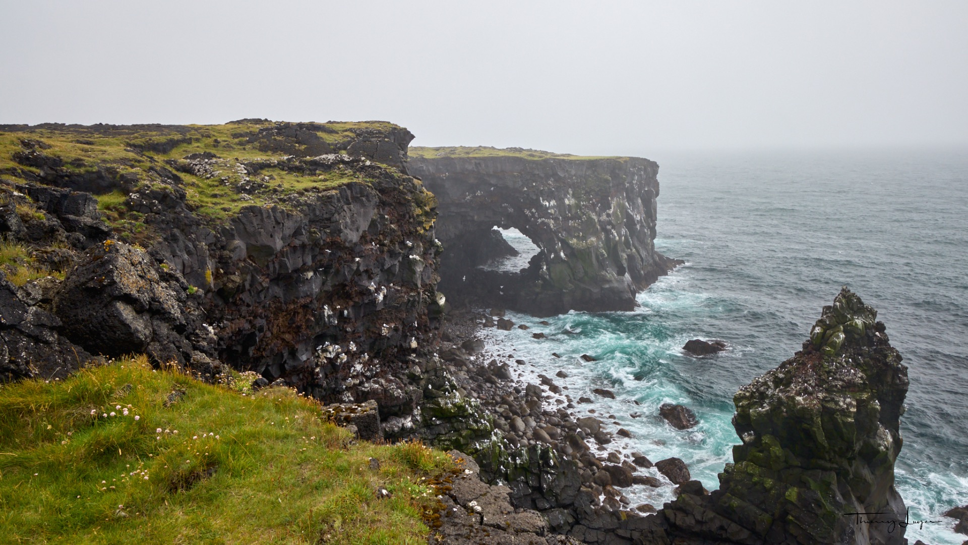
At Öndverdarnes, the name given to the westernmost tip of the peninsula, stands the Svörtuloft lighthouse, which means "black peaks," the name given to the cliffs it overlooks.
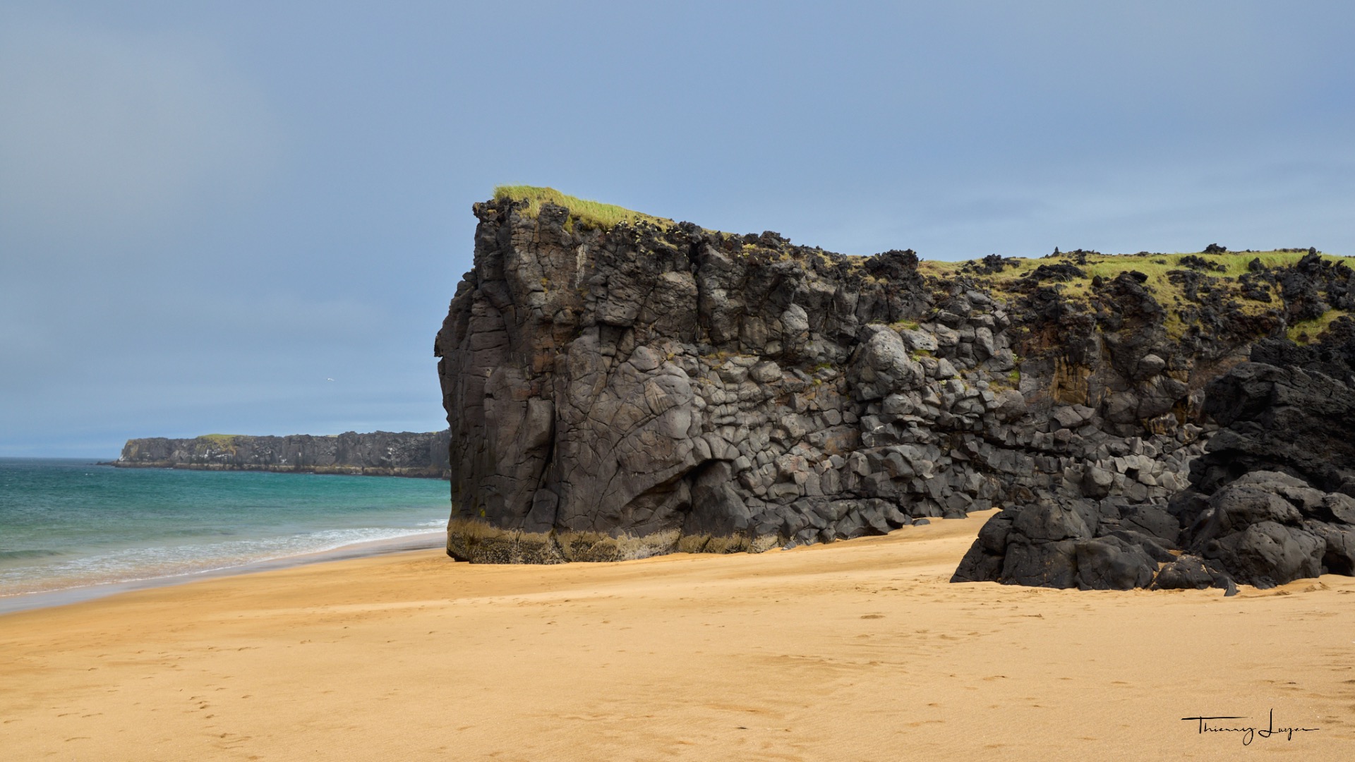
Before reaching the lighthouse, I stop to photograph the white sand beach of Skarðsvík surrounded by black cliffs. The beach is under a blue sky, whereas ten minutes later, the lighthouse is in the fog and rain! A true illustration of Iceland's ever-changing weather!
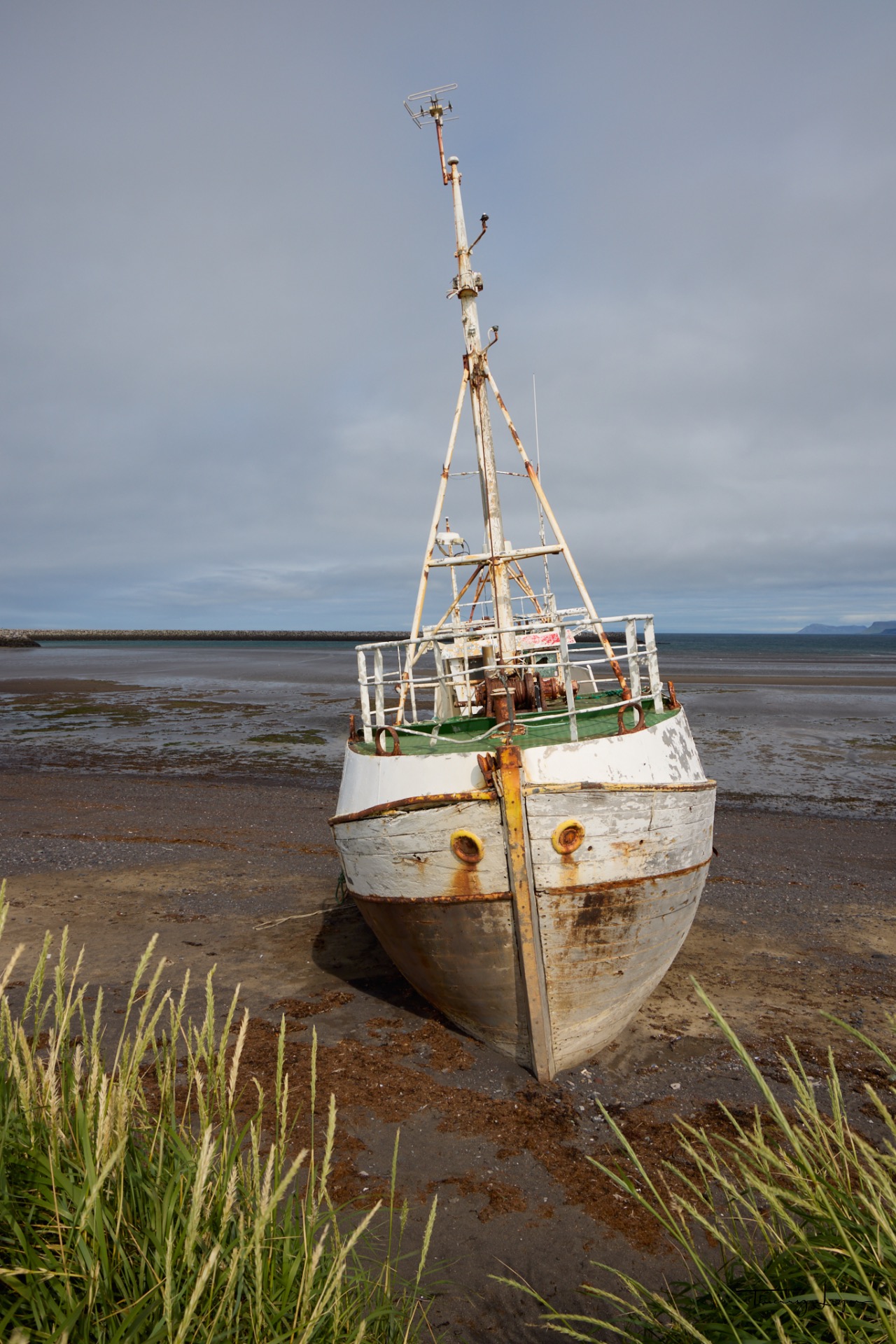
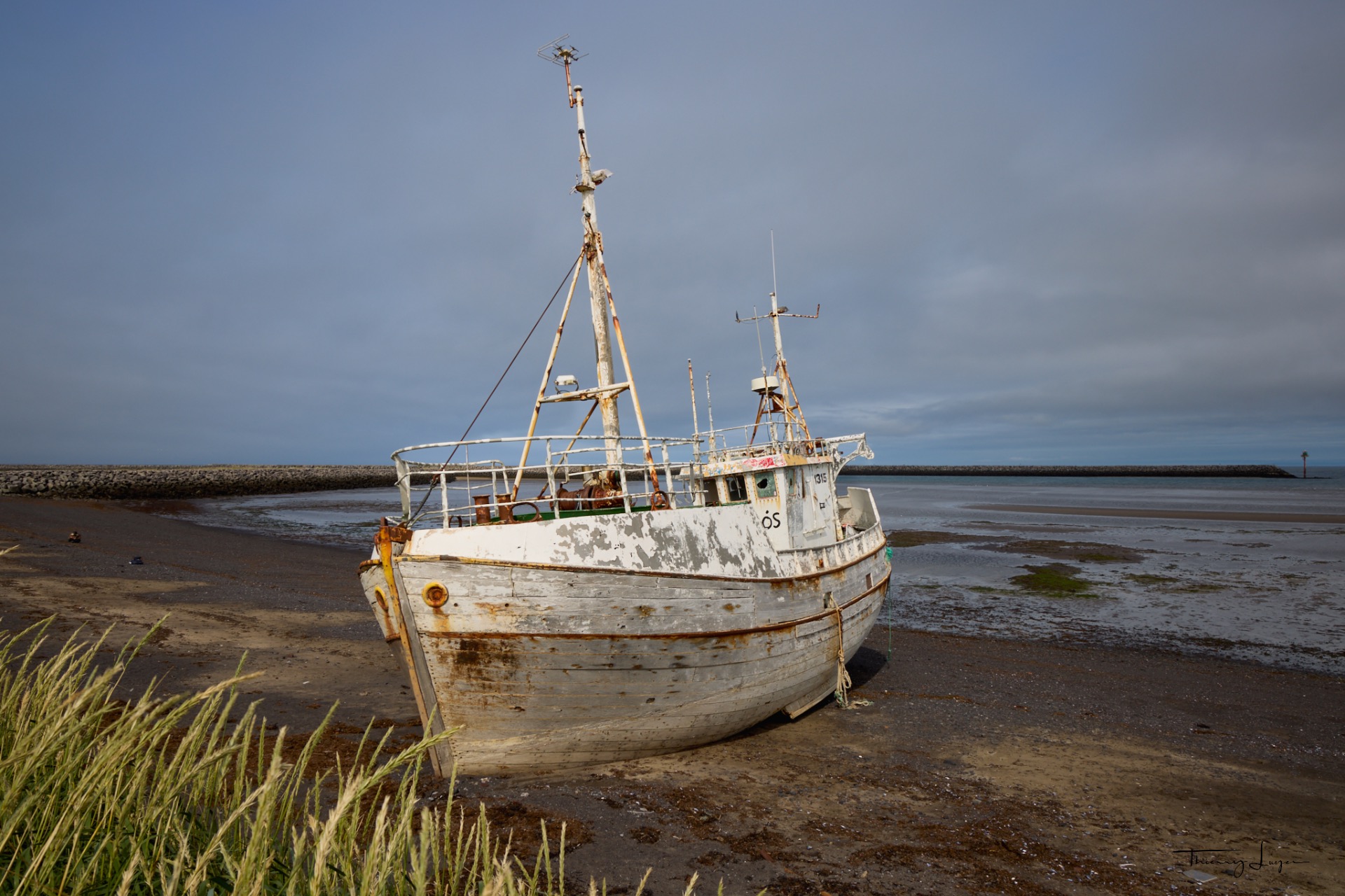
On a black sand beach near the village of Rif, between Ólafsvik and Hellissandur, you can see the shipwreck* of the Sæljós GK-2 (Sandgerði), a former stranded fishing boat. Built of wood in 1967 in Akureyri, this vessel was damaged out at sea in 2017. Before sinking, it was towed to the port of Rif, refloated, and then left abandoned on the beach.
* If you love old shipwrecks and their history, visit my other site, Mémoires d'épaves.
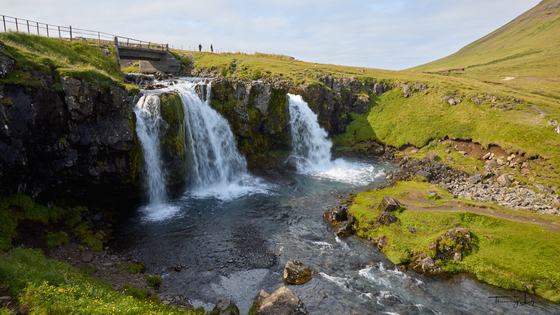
My last photo of the day will be of the Kirkjufellsfoss waterfalls. My day on this peninsula comes to an end after a 4-hour 40-minute loop covering 310 km.

Day 14
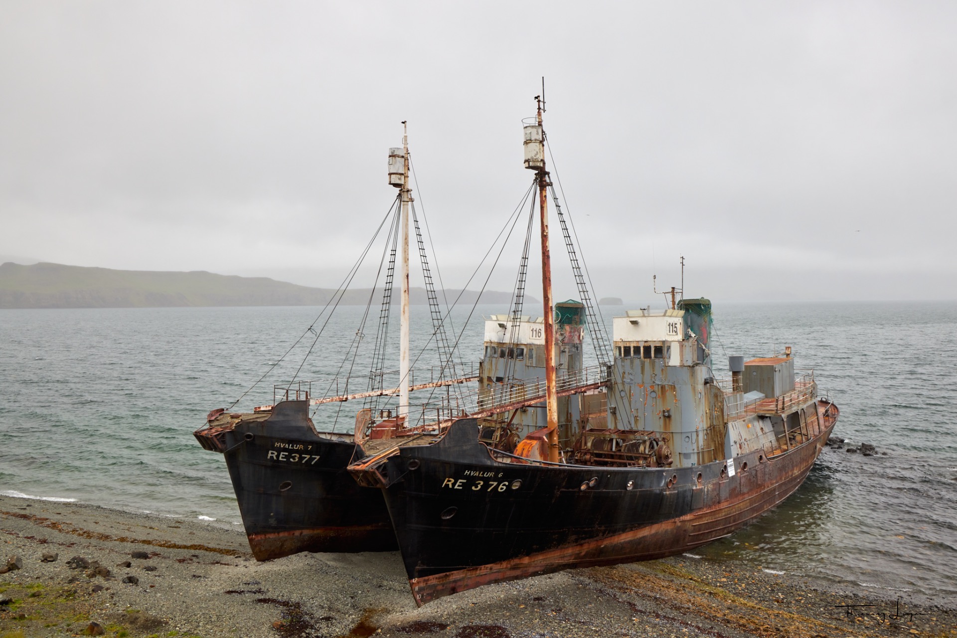
And the final day... On the road leading me back to Reykjavík, I spotted two whaling shipwrecks* beached side by side: the Hvalur 6 and Hvalur 7. These wrecks are nestled in a cove below the cliff, hidden from view. You have to take a steep path toward the end, which gets very slippery in rainy weather.
These two Icelandic whaling vessels belonging to the Hvalur company became famous in November 1986 when they were scuttled at their docks in the port of Reykjavík by environmental activist Paul Watson and his organization, Sea Shepherd.
* If you love old shipwrecks and their history, visit my other site, Mémoires d'épaves.
My journey through Iceland is drawing to a close after travelling nearly 4,000 km in 15 days.
It's hard to sum up a trip like this, as so many words spring to mind: breathtaking, magnificent, wild, moving, soothing… Iceland has definitely stolen my heart and is an island that must be preserved.
I have just one regret: the lack of time… This trip would have been worth a month to allow time for: all the spots I didn't have time to explore, the hikes through the canyons and around the lakes, and the tracks I couldn't tackle because I didn't have a 4x4…
I hope this sharing makes you want to go, or at least made you travel along with me.