
Iceland – Land of Contrasts Part 2
The eastern fjords
Day 4
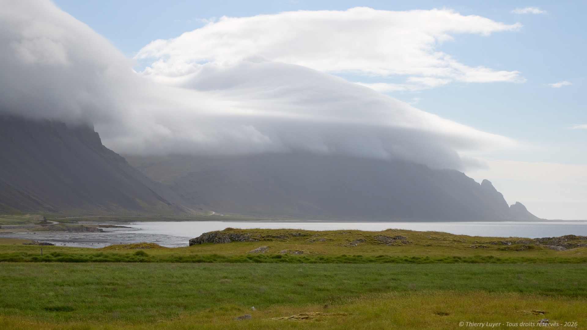
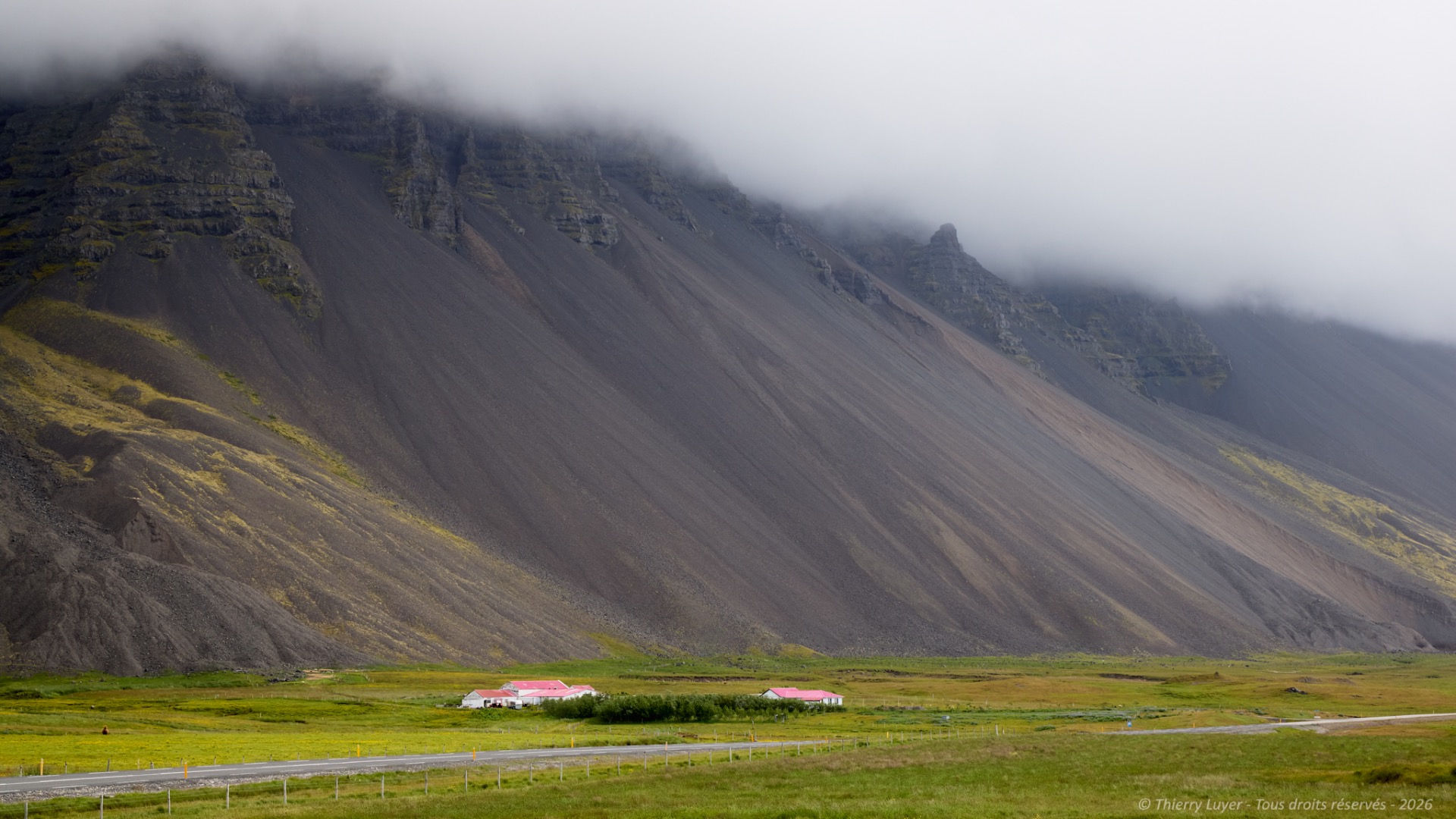
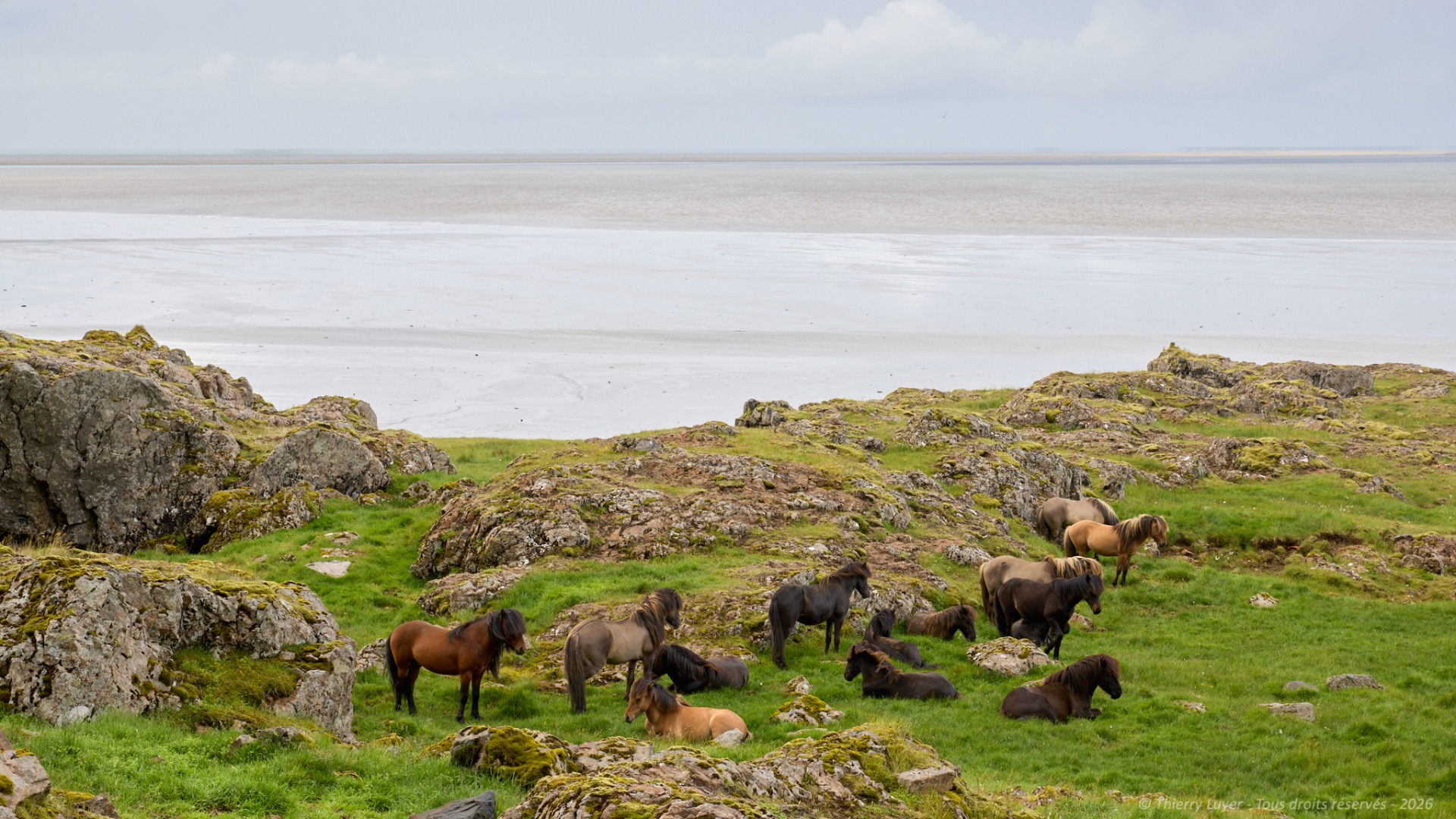
I leave the Golden Circle to head towards the East coast, renowned for its fjords. After passing the town of Höfn, I make a stop to photograph the clouds clinging to the mountains. And a second one, a few kilometers further on, to immortalize these Icelandic horses roaming almost entirely free.
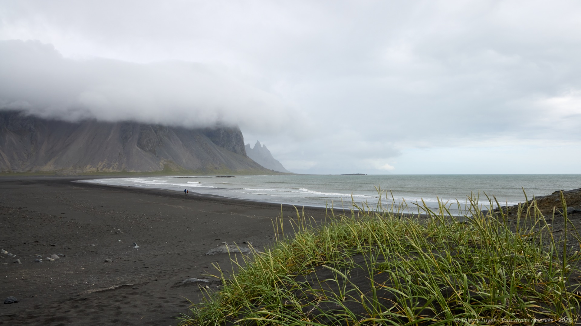
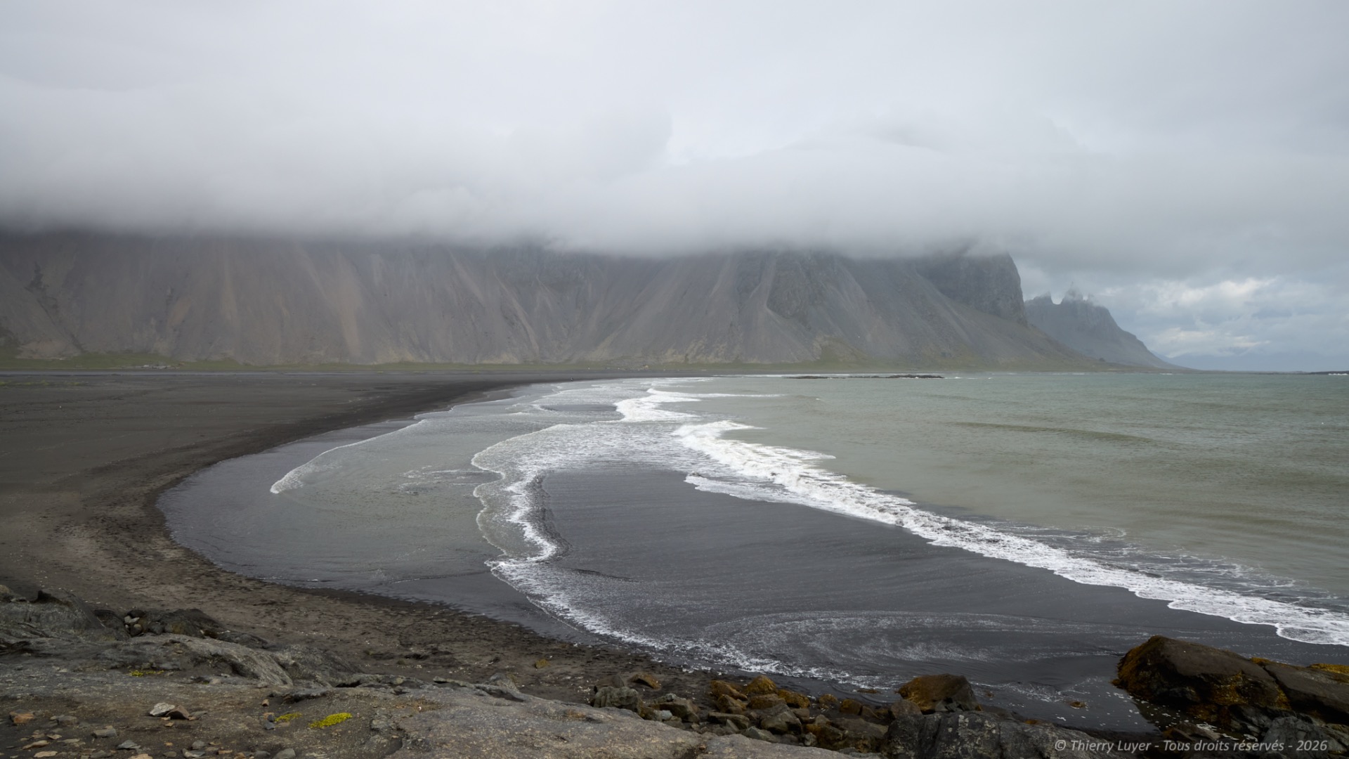
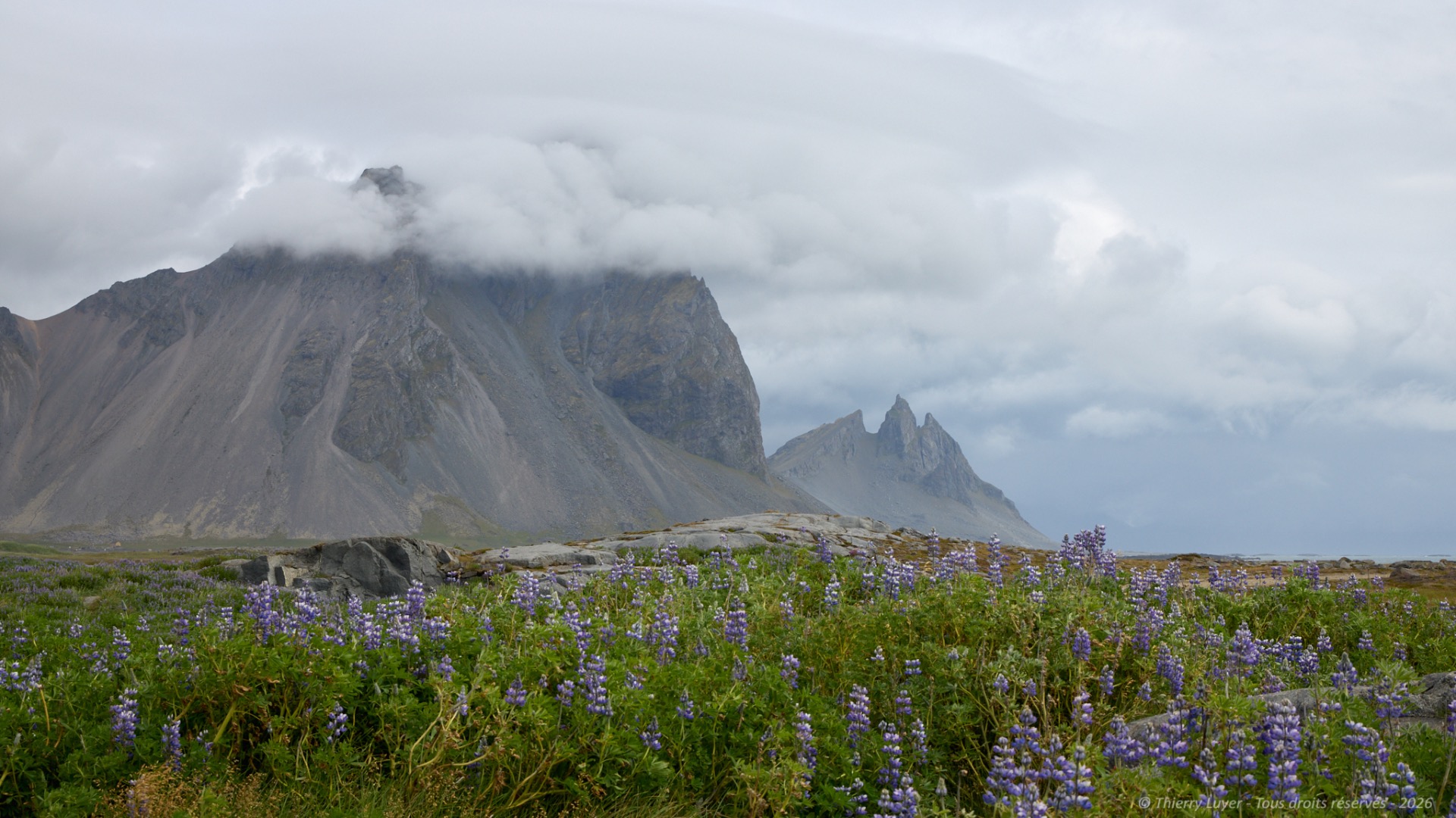
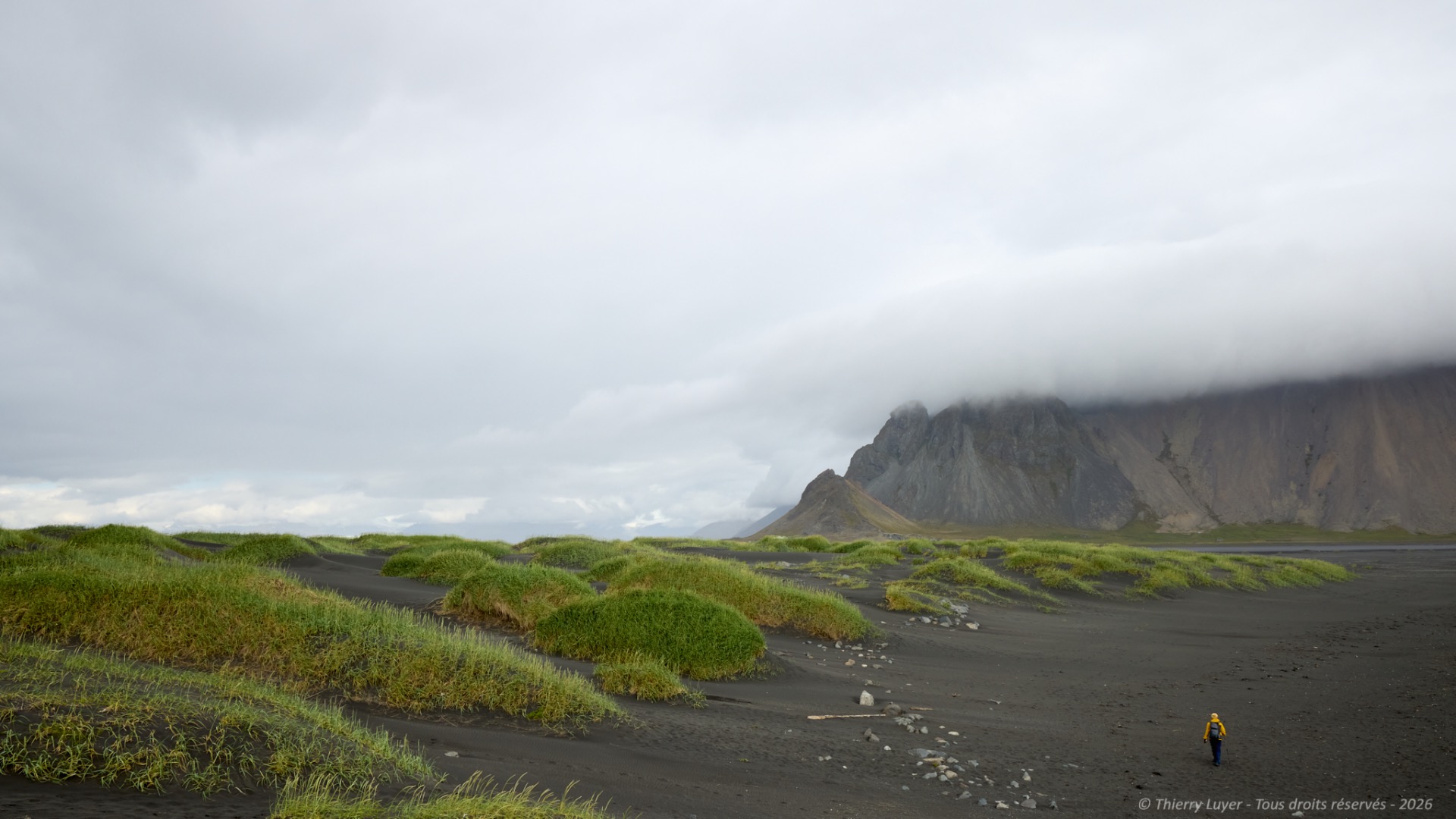
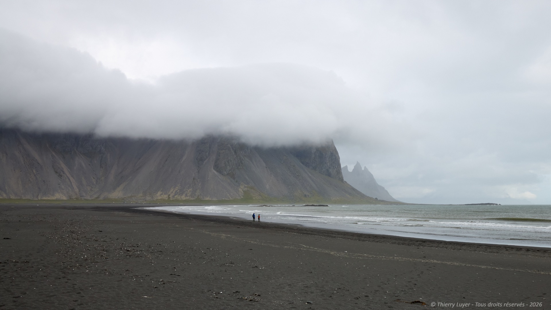
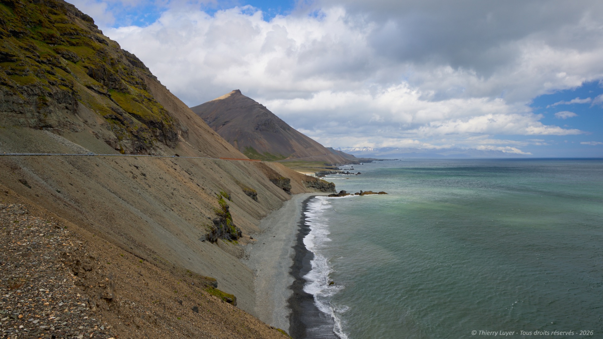
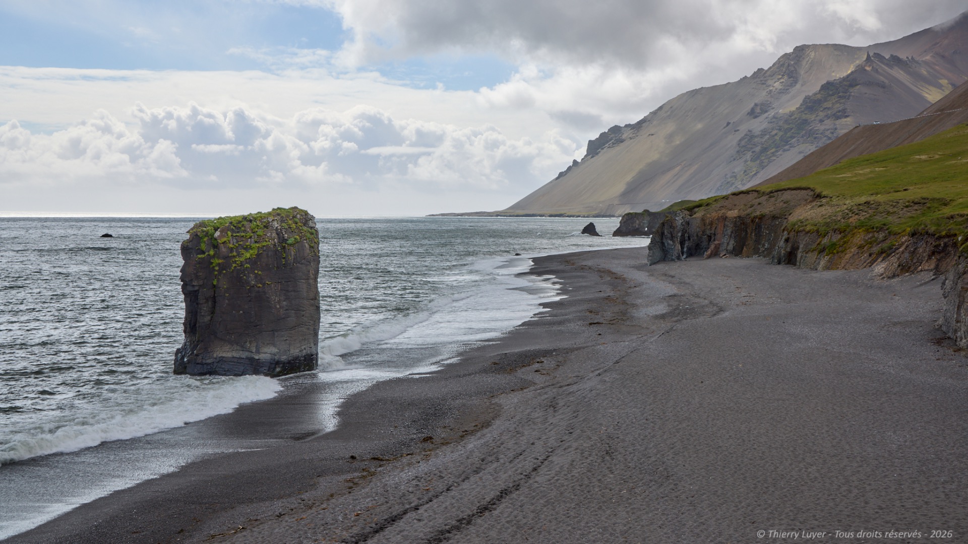
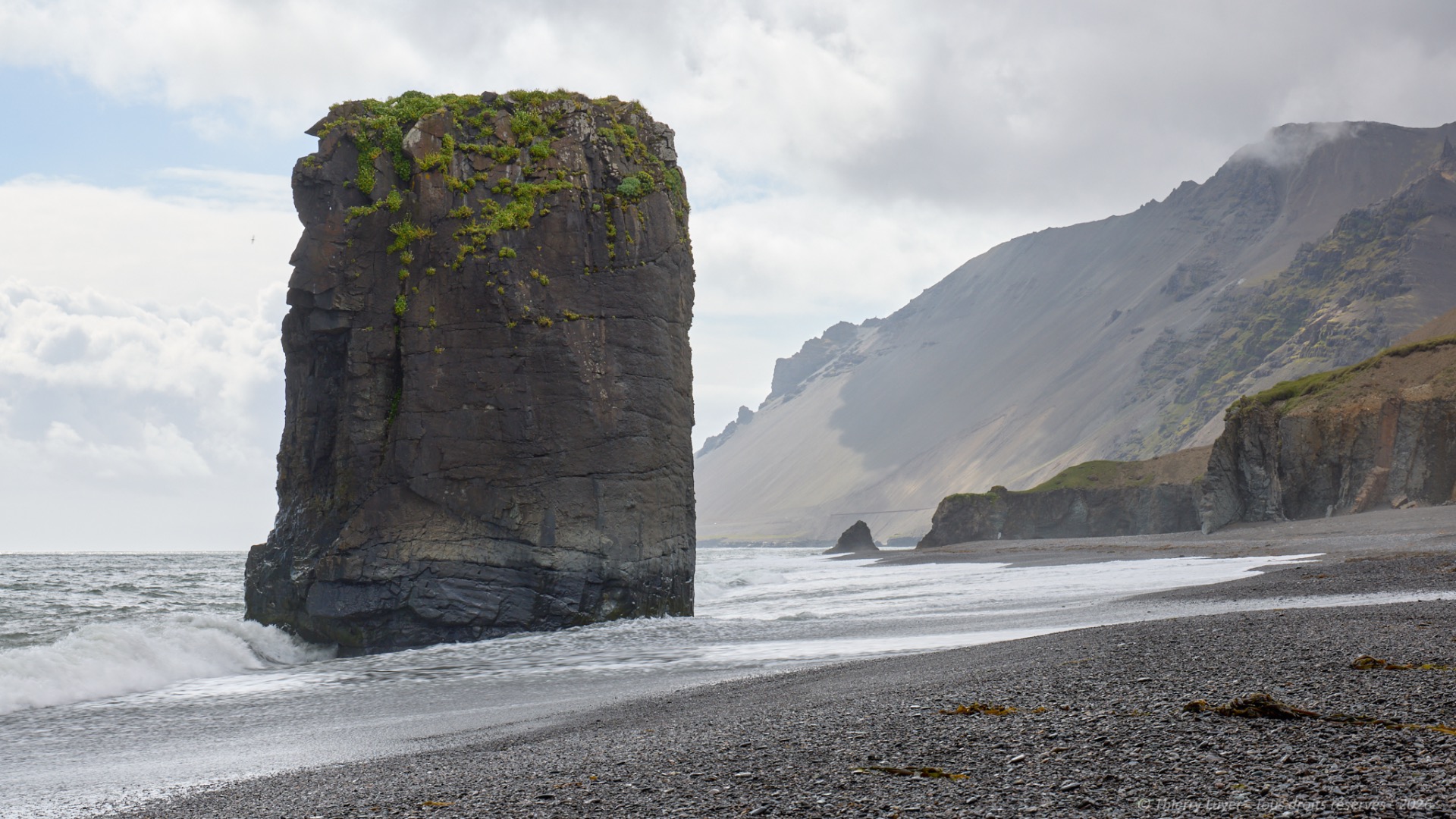
I head to my first spot of the morning: Stokksnes, located on the Southeast coast of Iceland, where the Vestrahorn mountains plunge into the sea. An immense black volcanic sand beach, lush green dunes, imposing peaks, an ever-changing sky, and a dark sea... No deckchairs here!
The road now skirts the great East Fjords, and after about a 2-hour drive, I reach the site of Nykurhylsfoss. I completely fell in love with this unspoiled jewel, far from the highly touristy sites! This wild river, the Fossá, features a succession of numerous majestic waterfalls. Here, nature reigns supreme and makes you want to pause, simply to listen and watch the river flow. I would have spent the entire day hiking up this river if I had had more time!
I get back on the road and upon reaching the opposite shore of the Berufjörður fjord, I spot a herd of about fifteen reindeer. A rare encounter!
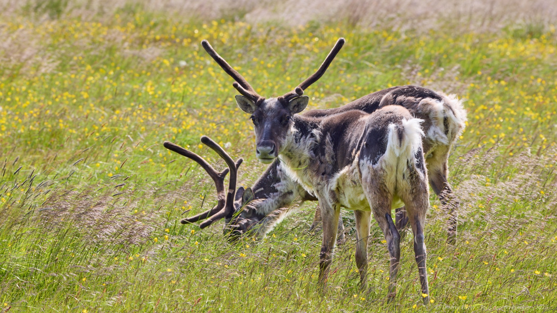
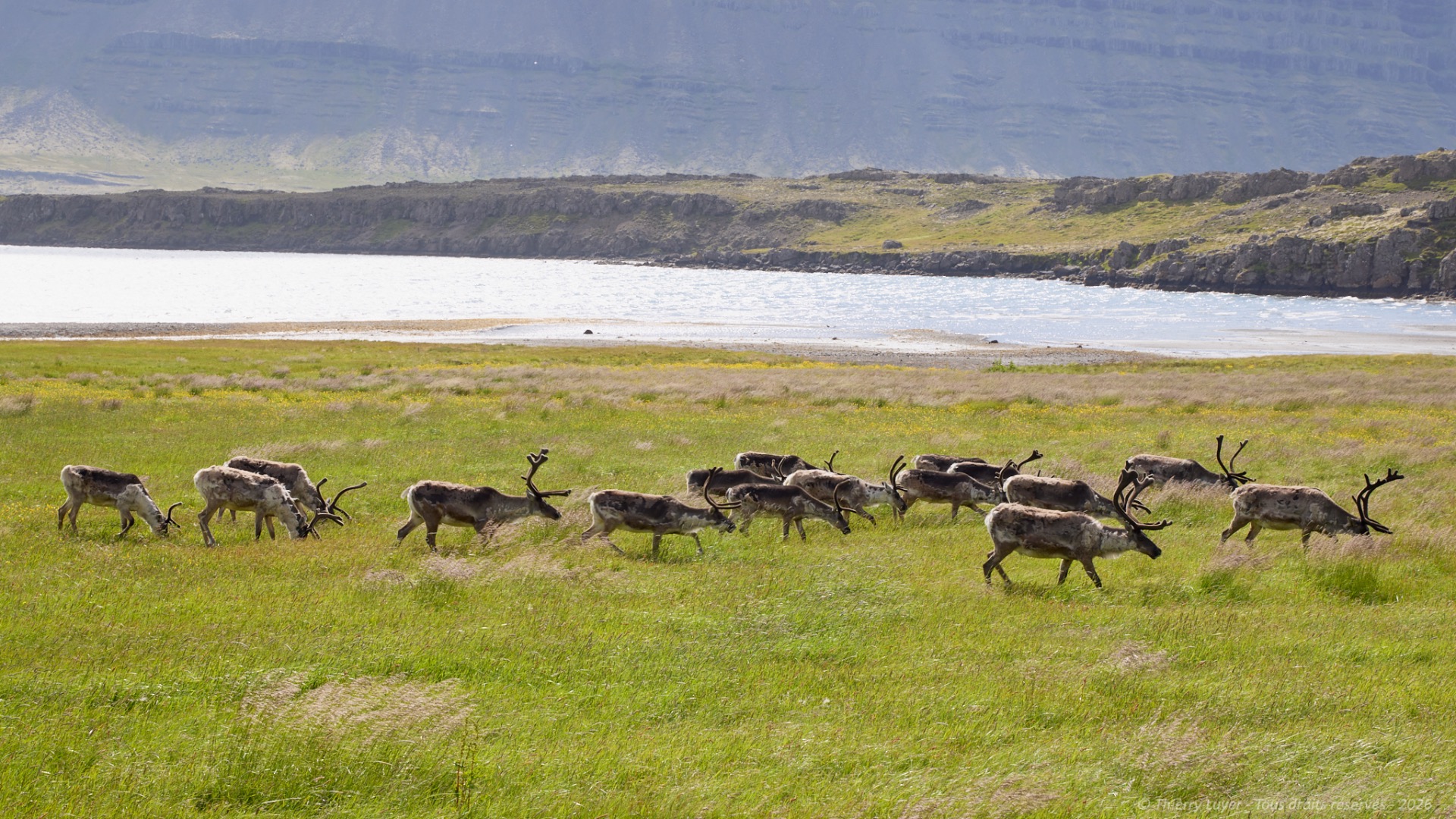
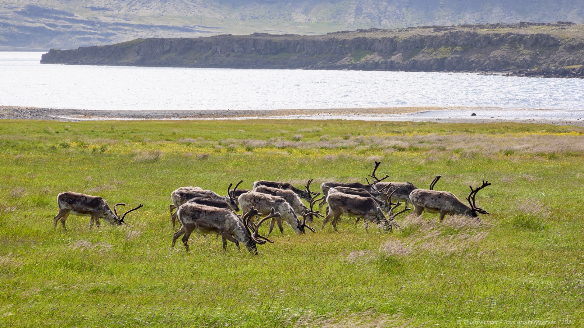
The day comes to a close with this beautiful encounter after 300 km and 4 and a half hours of driving.

Day 5
This morning, the road to reach Borgarfjörður Eystri, one of the most beautiful fjords in Iceland, and more specifically the small town of Bakkafjörður, which had 93 inhabitants in 2009... is long and mountainous.
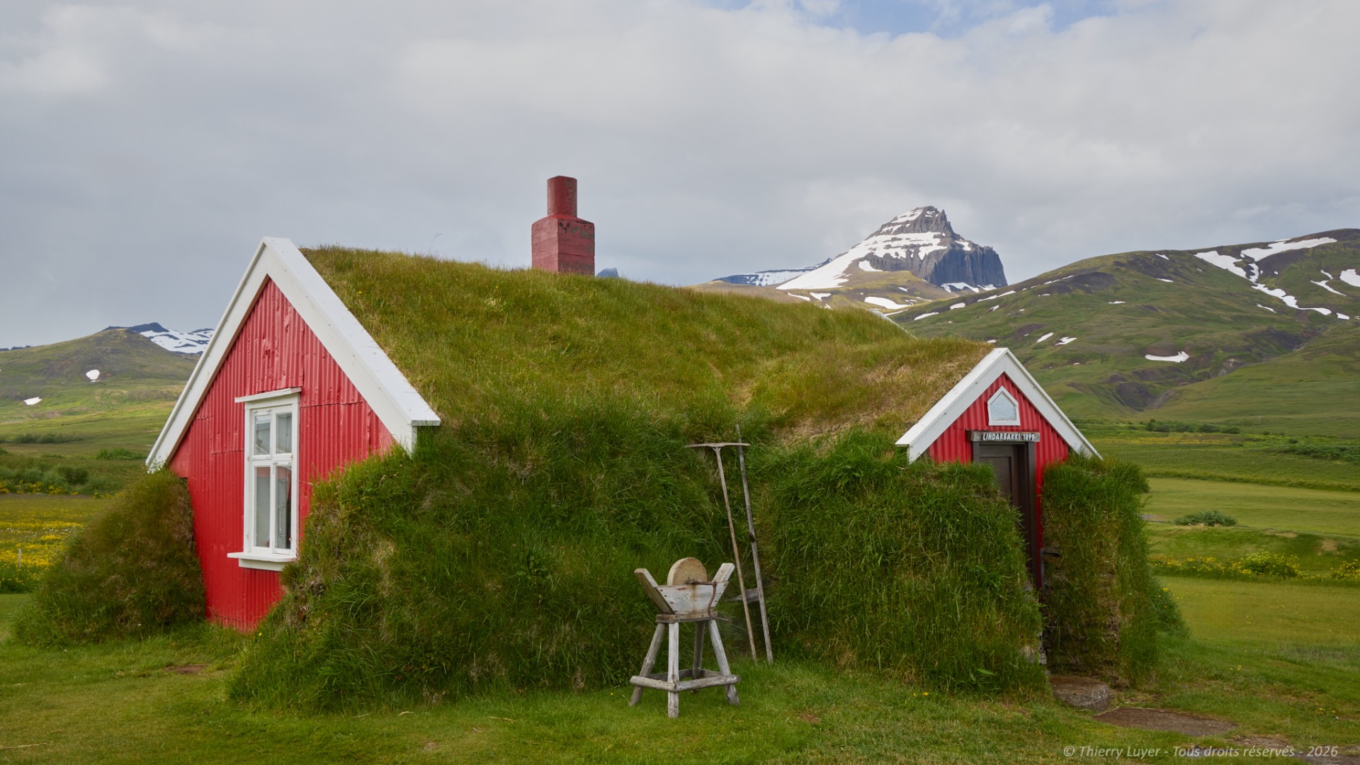
It is hard to miss the Lindarbakki, a house that seems straight out of Nordic fairytales. It is a torfbær (literally, « turf house »), a traditional Icelandic house. Torfbæir were developed by the island's first settlers in the 9th century and remained the country's traditional homes until the 19th century. Their name comes from the fact that the primary material is earth covered with turf. The roof is also made of turf-covered earth. The bases of the walls can be reinforced with stones, and the framework is made of wood.
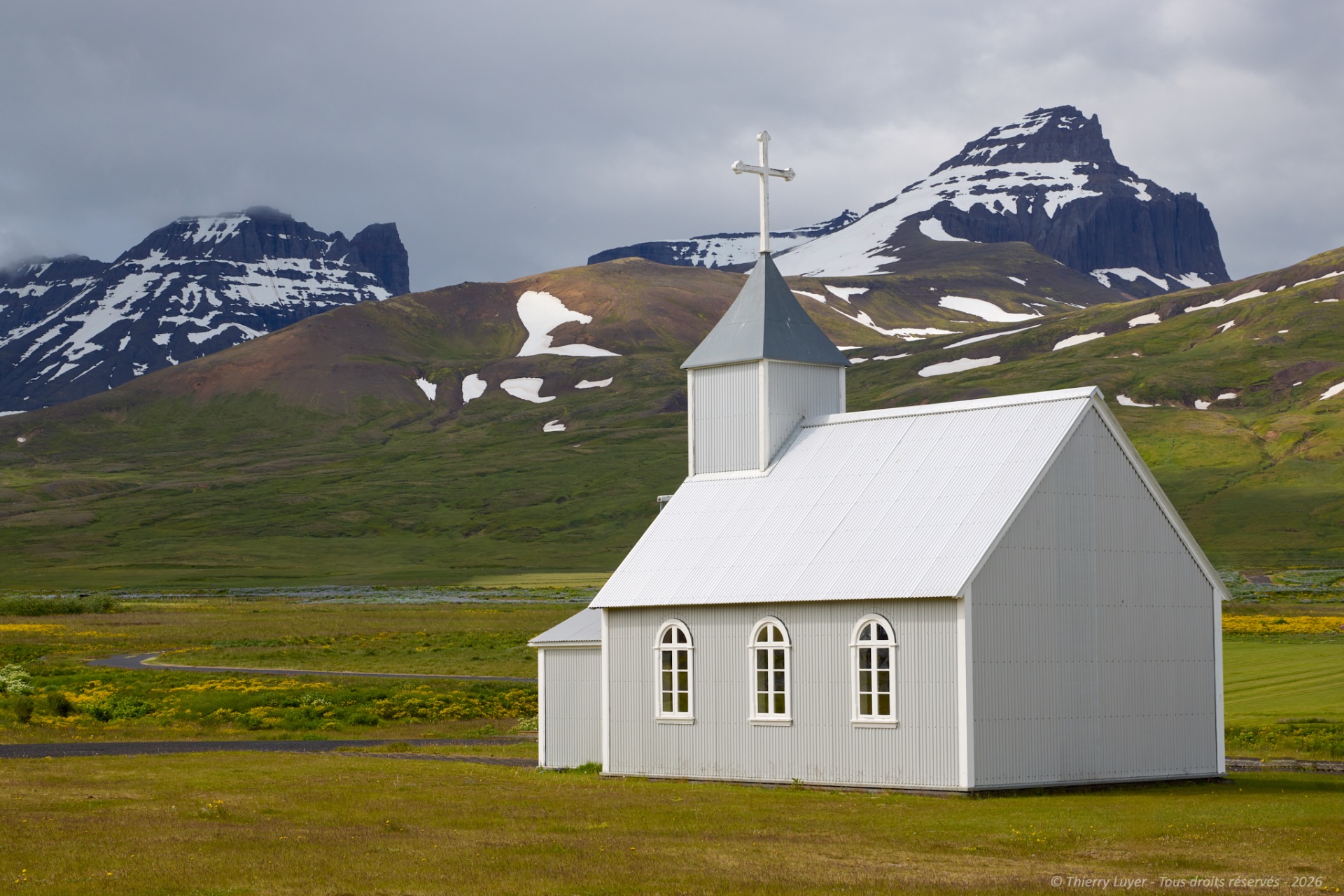
You can also see a charming little grey church there.
But the inhabitants who attract the curious in this village at the edge of the world are the puffins, which have literally colonized a rock that protects the harbor at the end of the road.
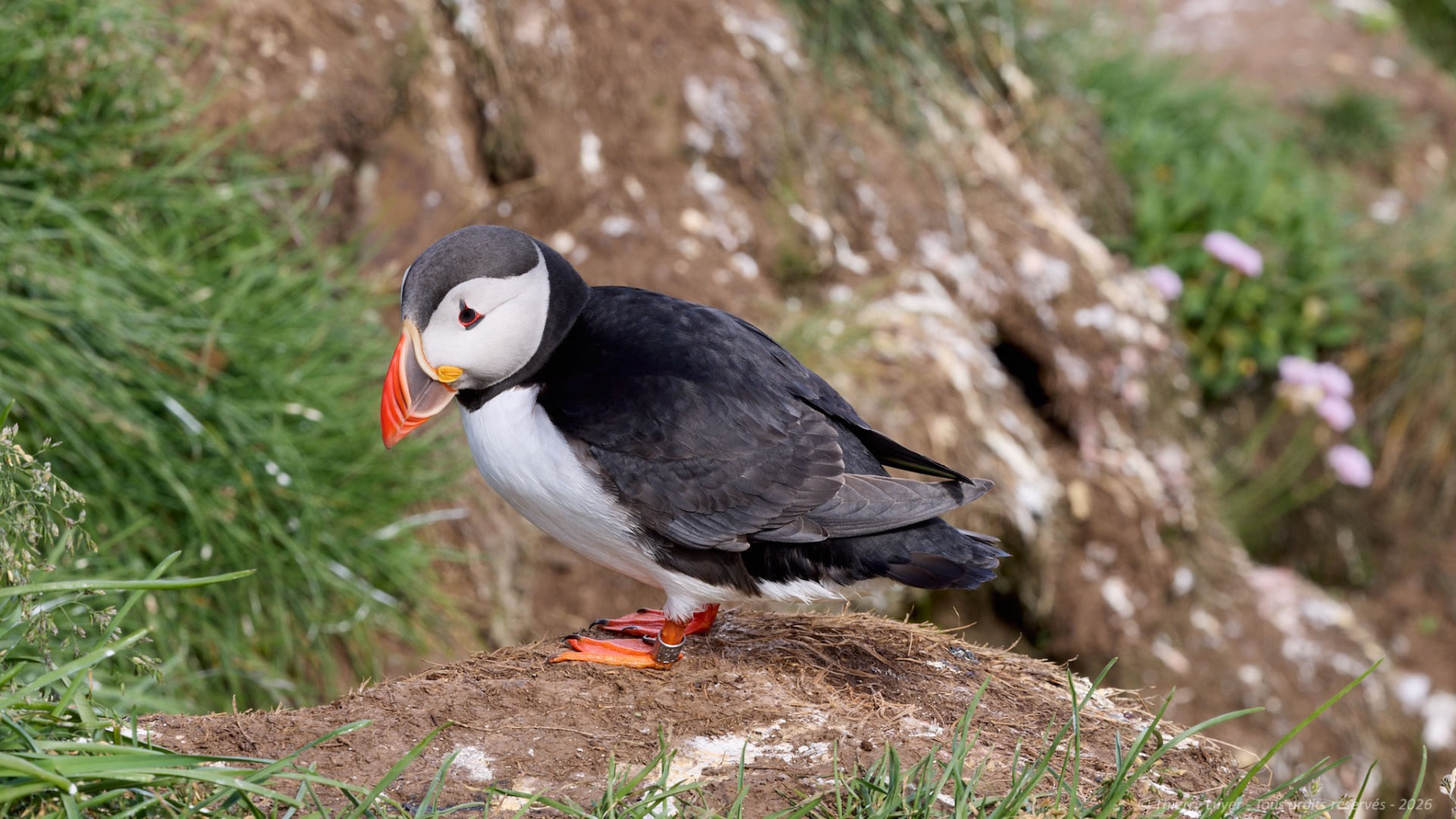
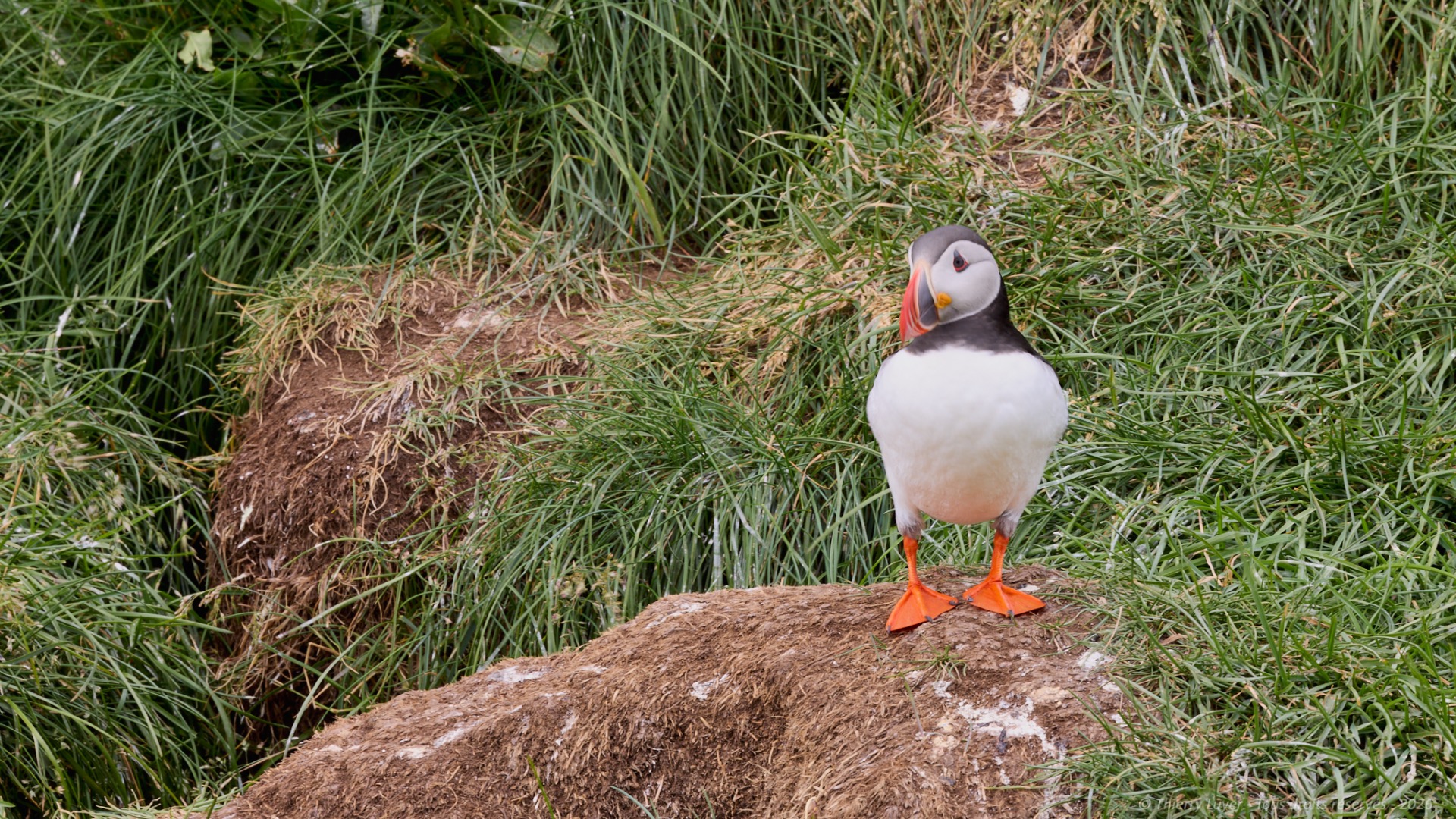
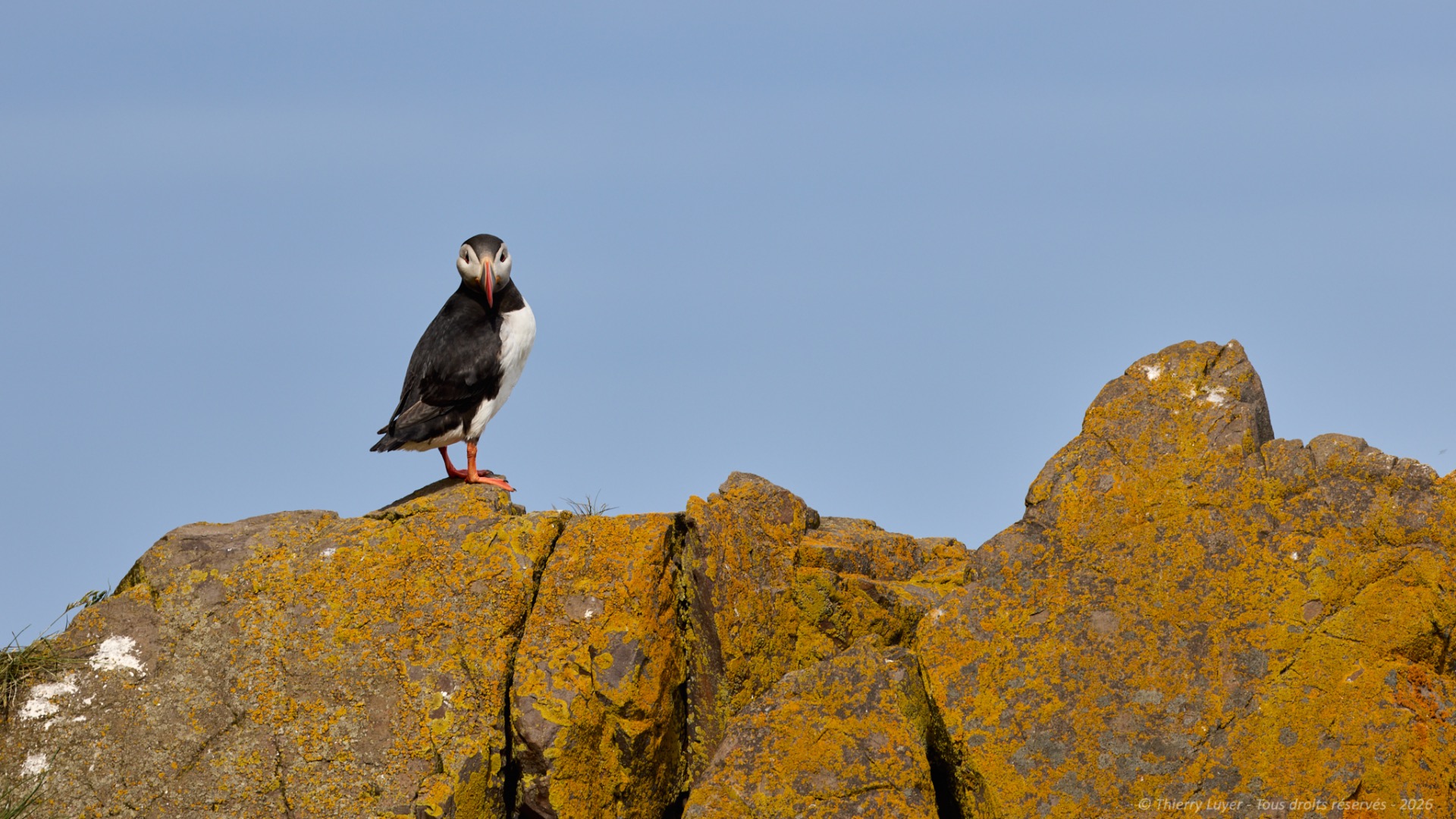
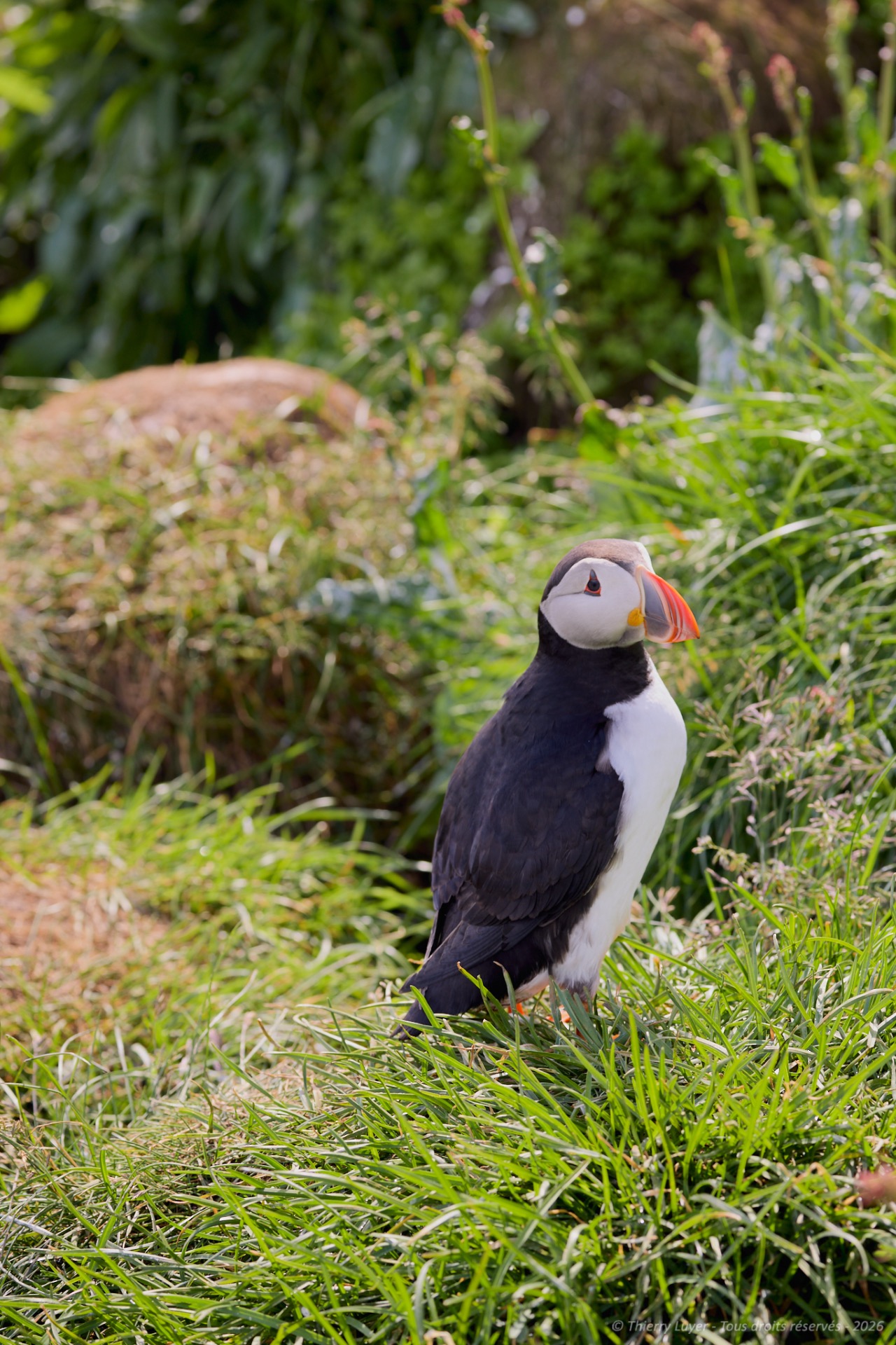
The small port of Bakkafjörður has an end-of-the-world feel to it, facing the North Atlantic Ocean...
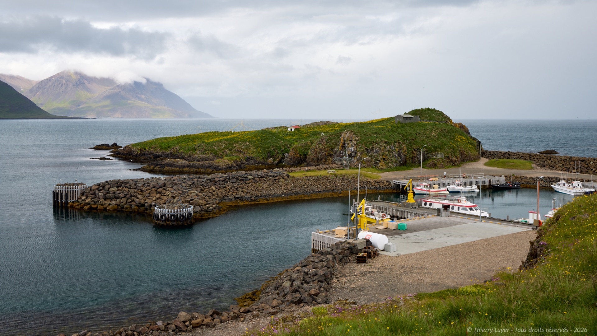
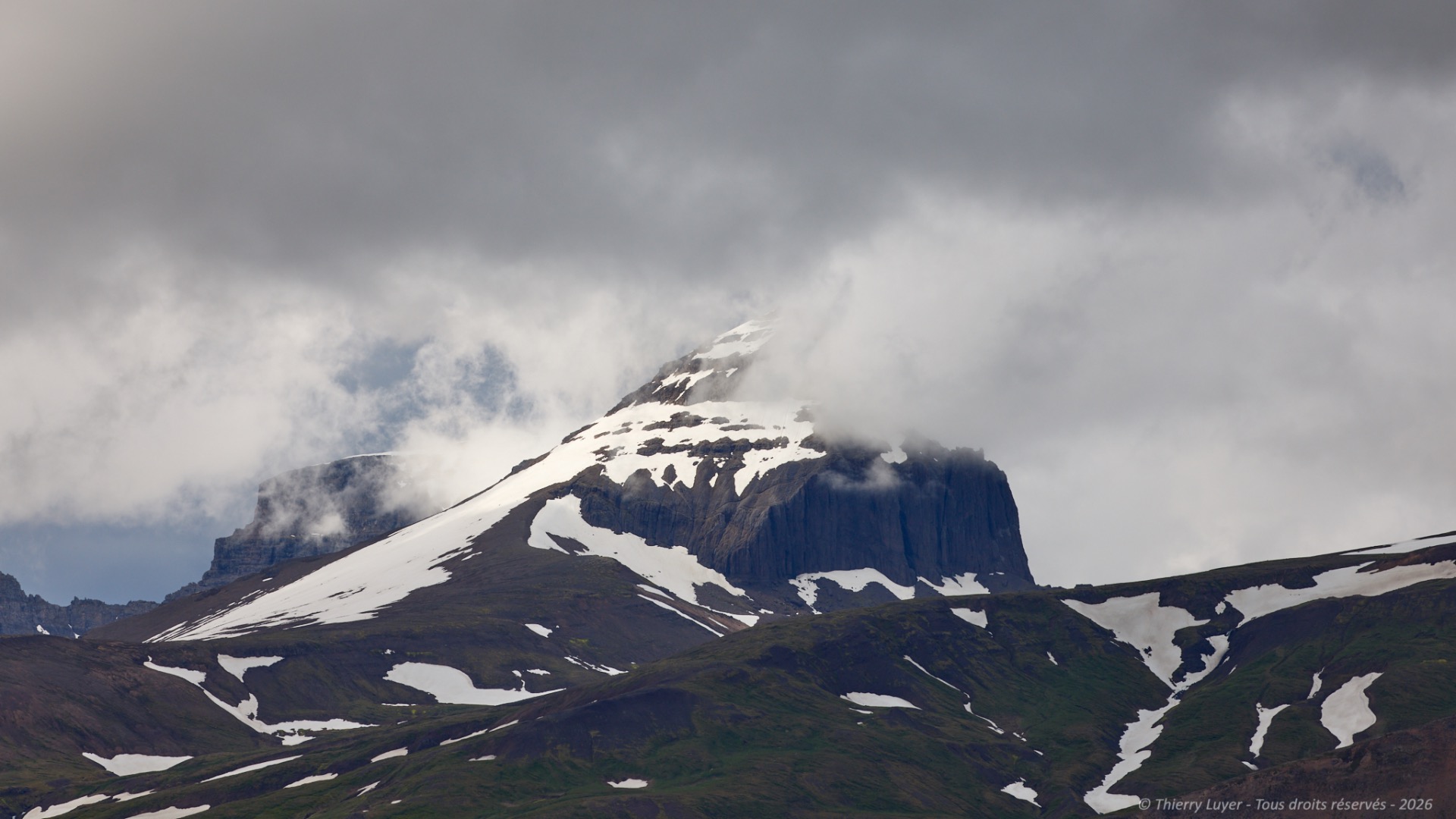
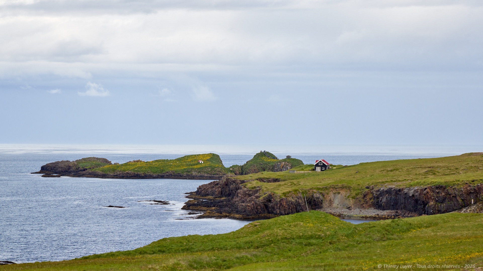
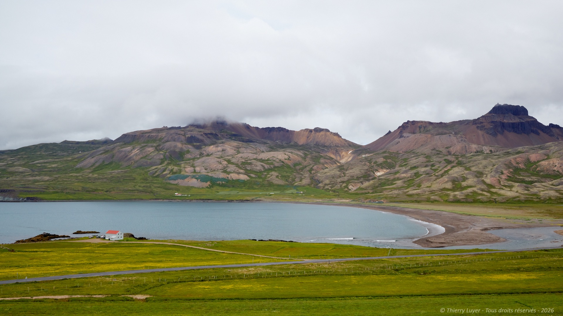
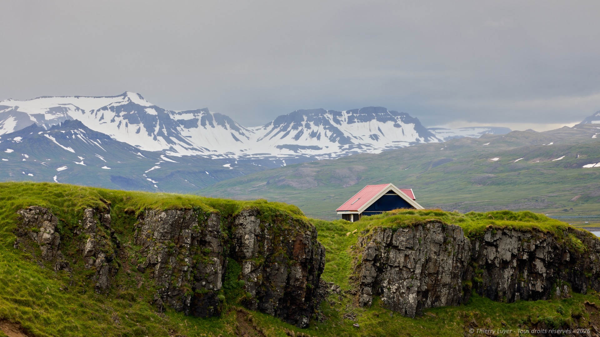
In this eastern part of Iceland, houses are scarce amidst these majestic landscapes.
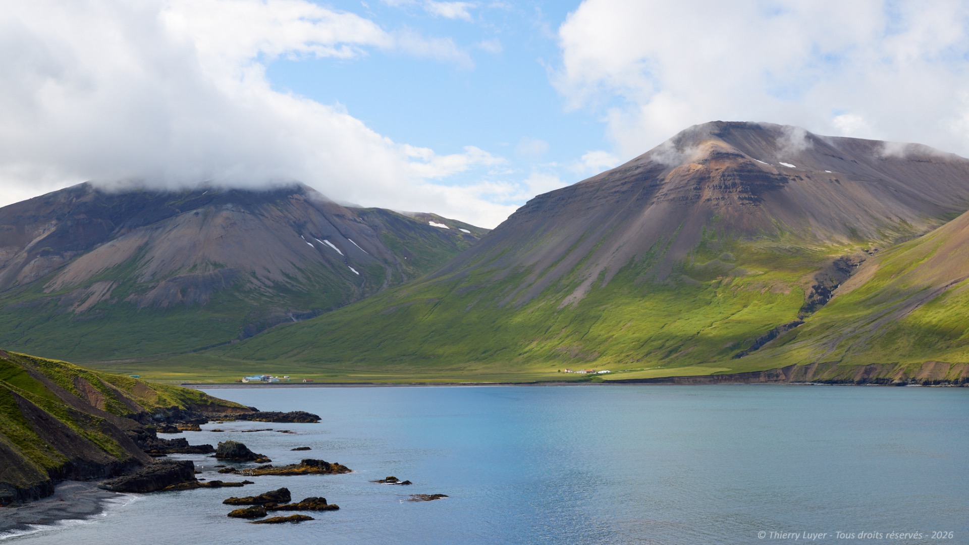
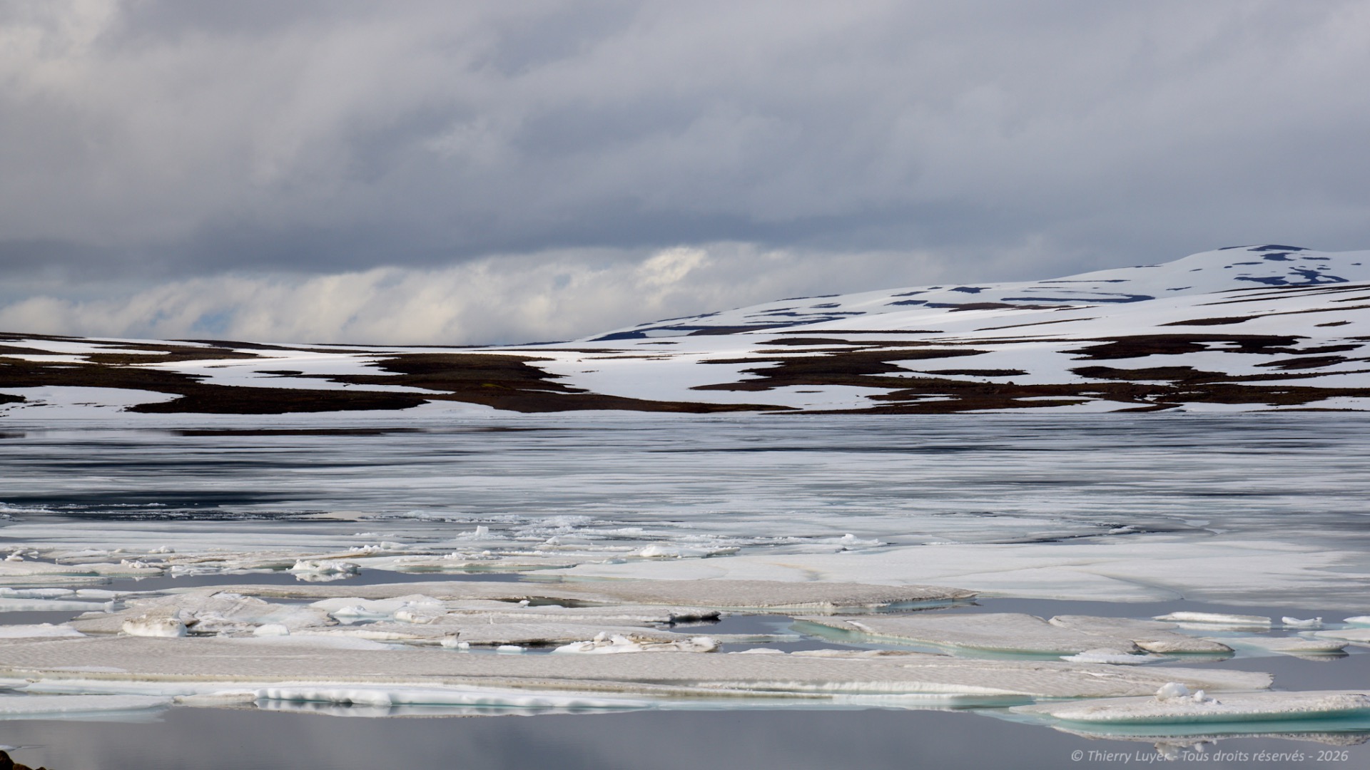
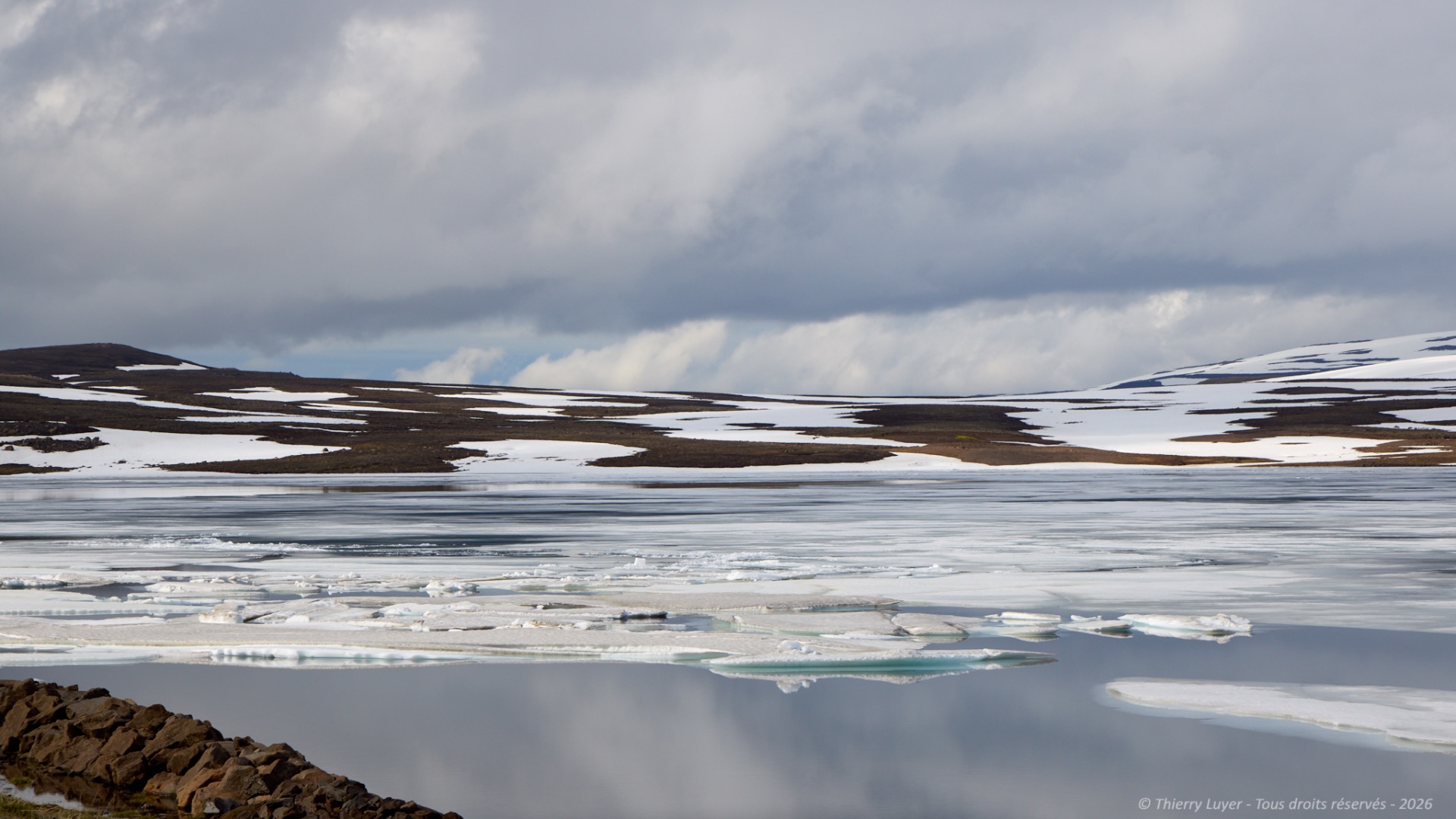
I head back the way I came to make my way toward the town of Seyðisfjörður, nestled at the far end of another fjord. Once again, it requires taking a mountain road and crossing snow-covered peaks and frozen lakes.
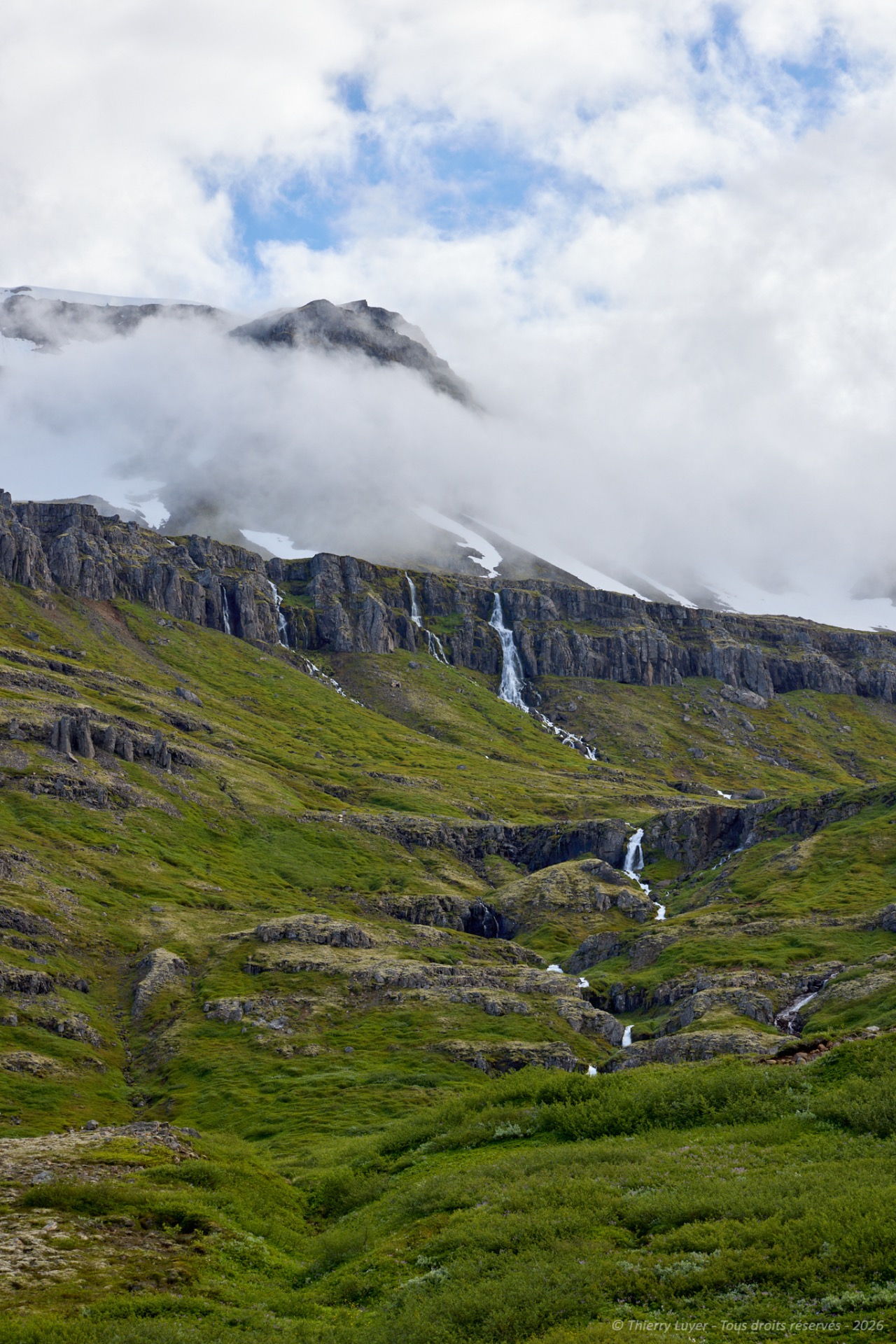
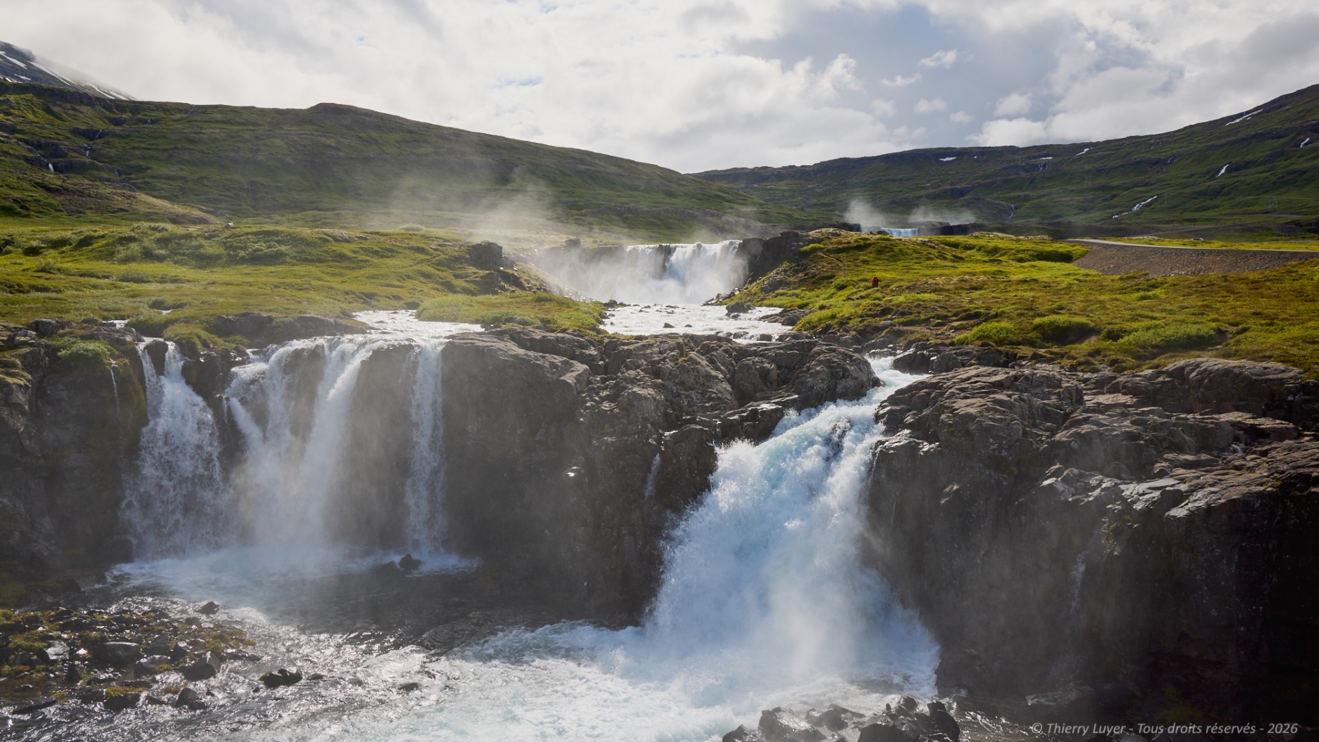
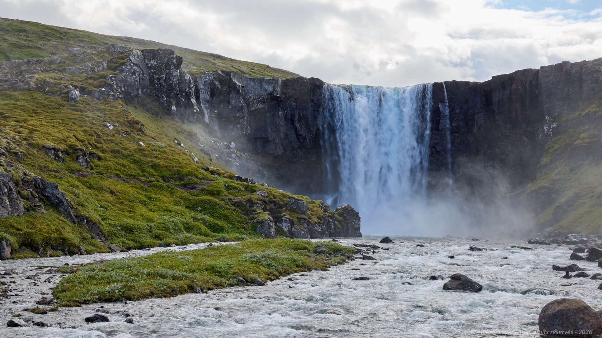
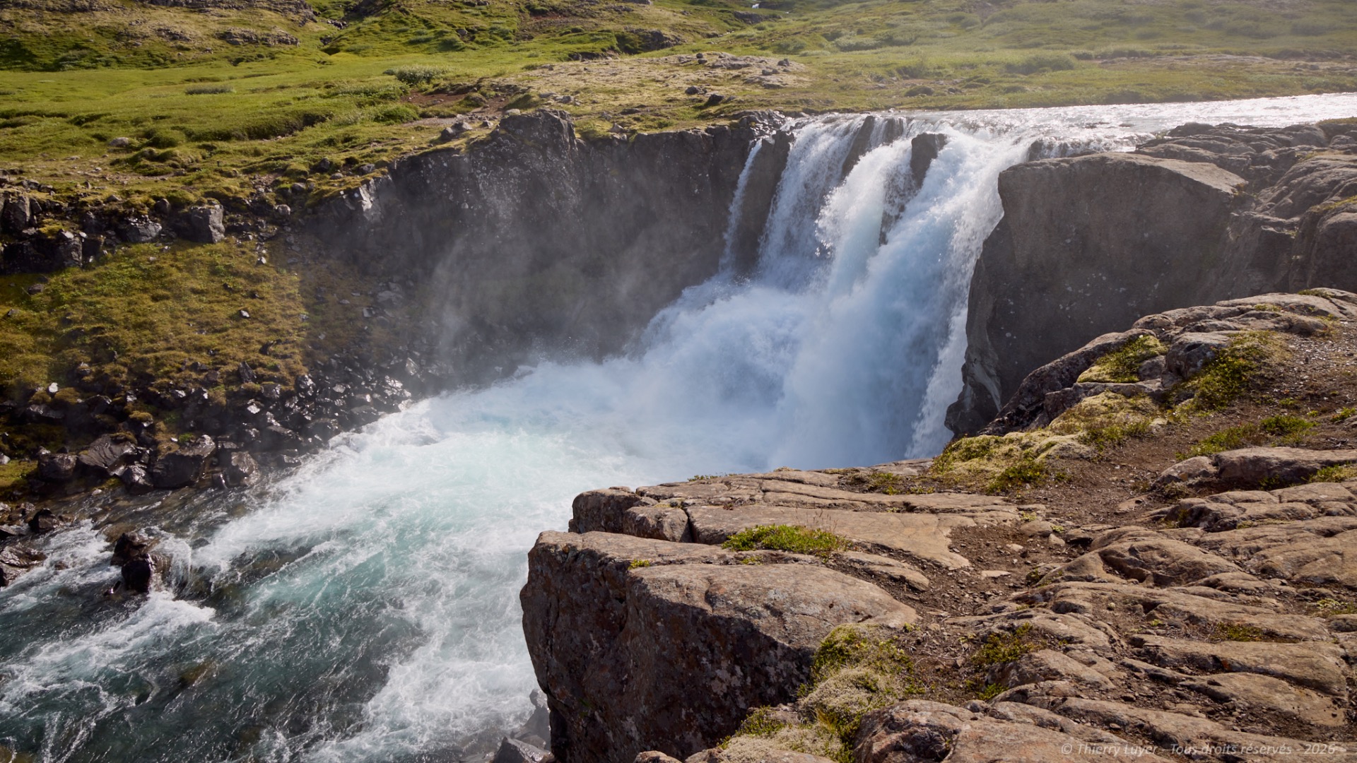
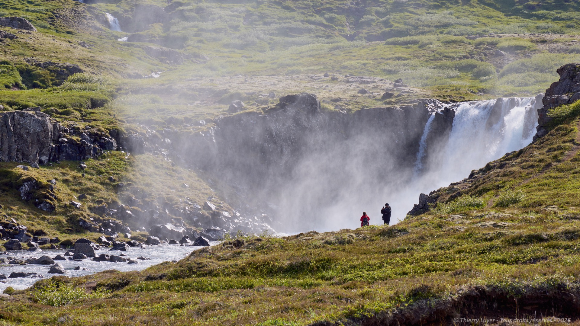
The winding road that then descends towards the town of Seyðisfjörður is bordered by the Fjarðará river. This river rushes down the slopes in a succession of powerful waterfalls with an impressive flow rate: Múlafoss, Gufufoss, Uðafoss... The spray rising from each waterfall is visible all the way down to the valley floor!
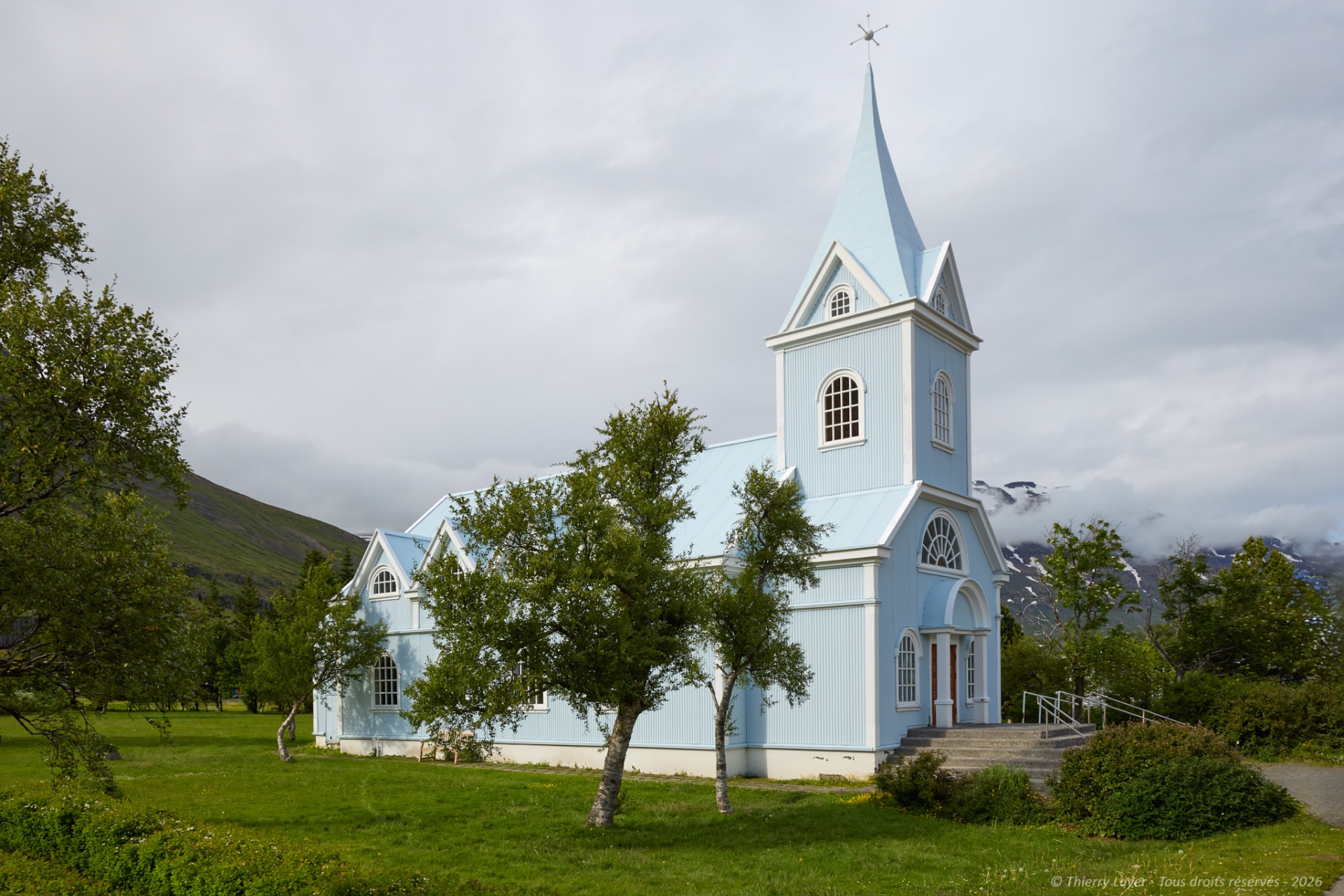
My final photo of the day will be of the church in the town of Seyðisfjörður at the bottom of this valley. The day thus comes to an end after 320 km and 4 hours and 30 minutes of driving.

Day 6
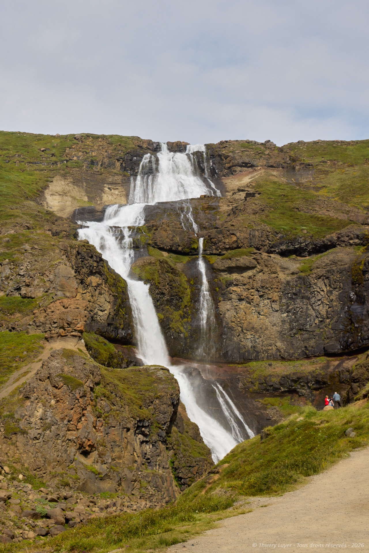
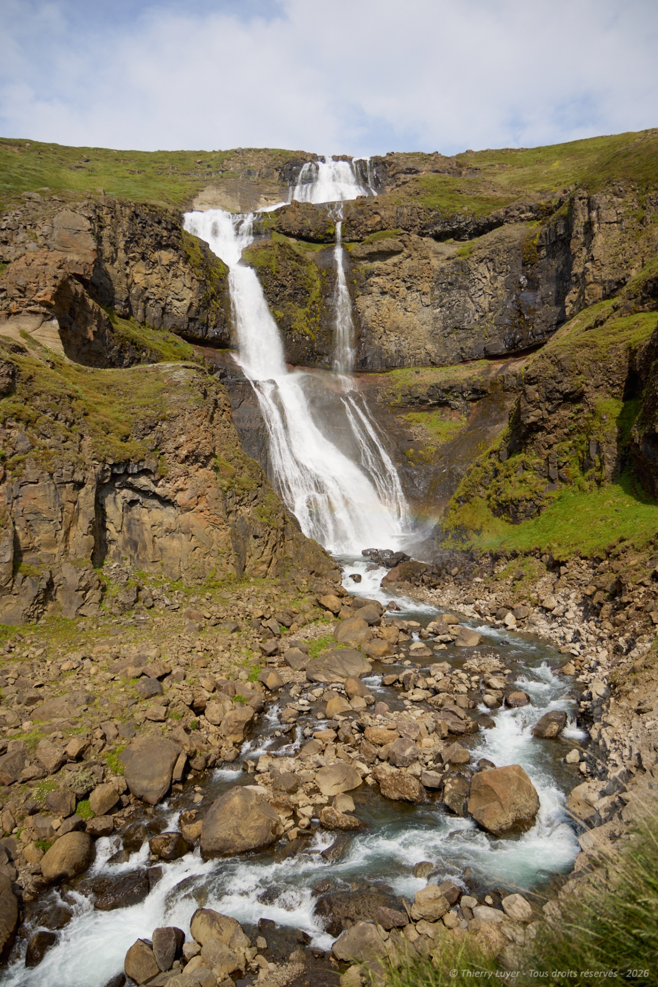
Today I've got a long day ahead of me. I'm off to explore the volcanic plateaus in the north-east of the island. On the way, the Rjukandafoss waterfall, with its many cascades, offers a majestic drop of 92 metres. You never tire of it!
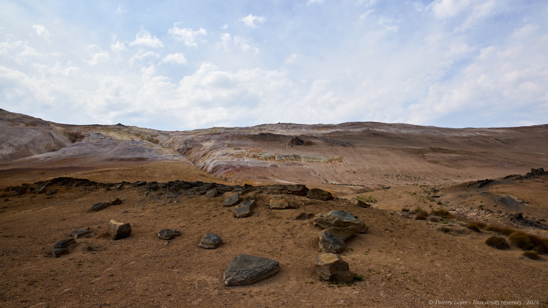
I reach the volcanic plateaus of the Northeast. The landscapes are lunar, desert-like: the altitude and basaltic nature of the soil create mineral expanses almost devoid of vegetation and swept by violent winds. The road seems endless and deserted.
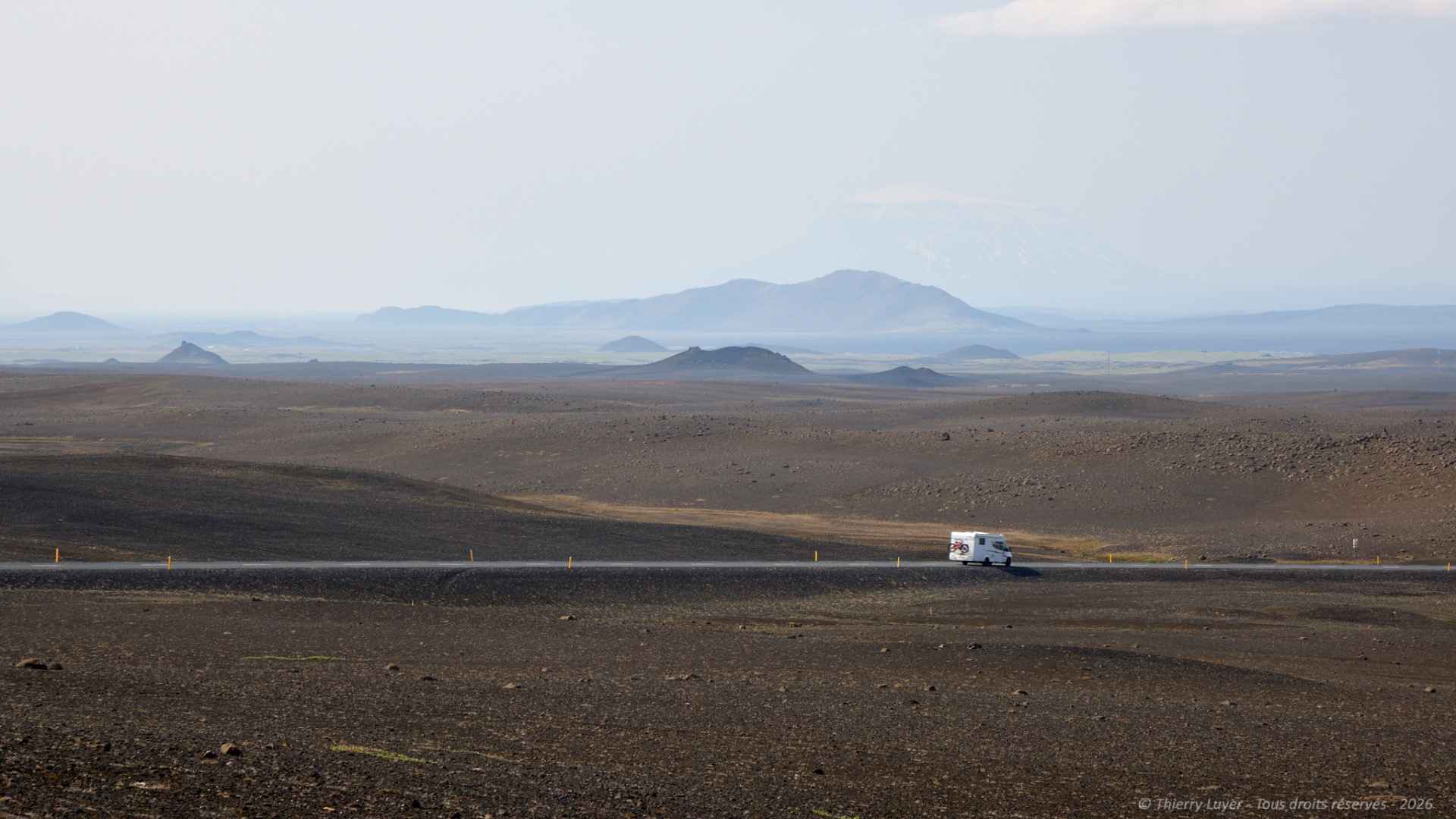
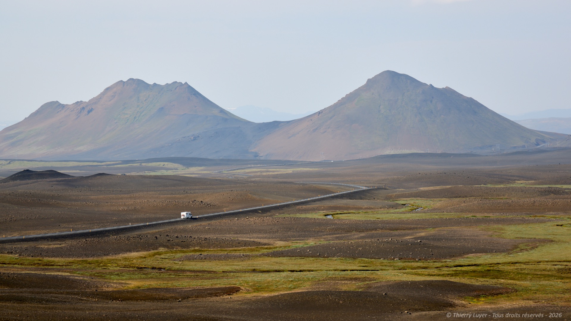
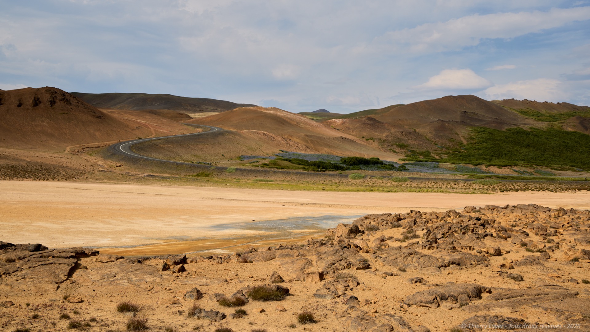
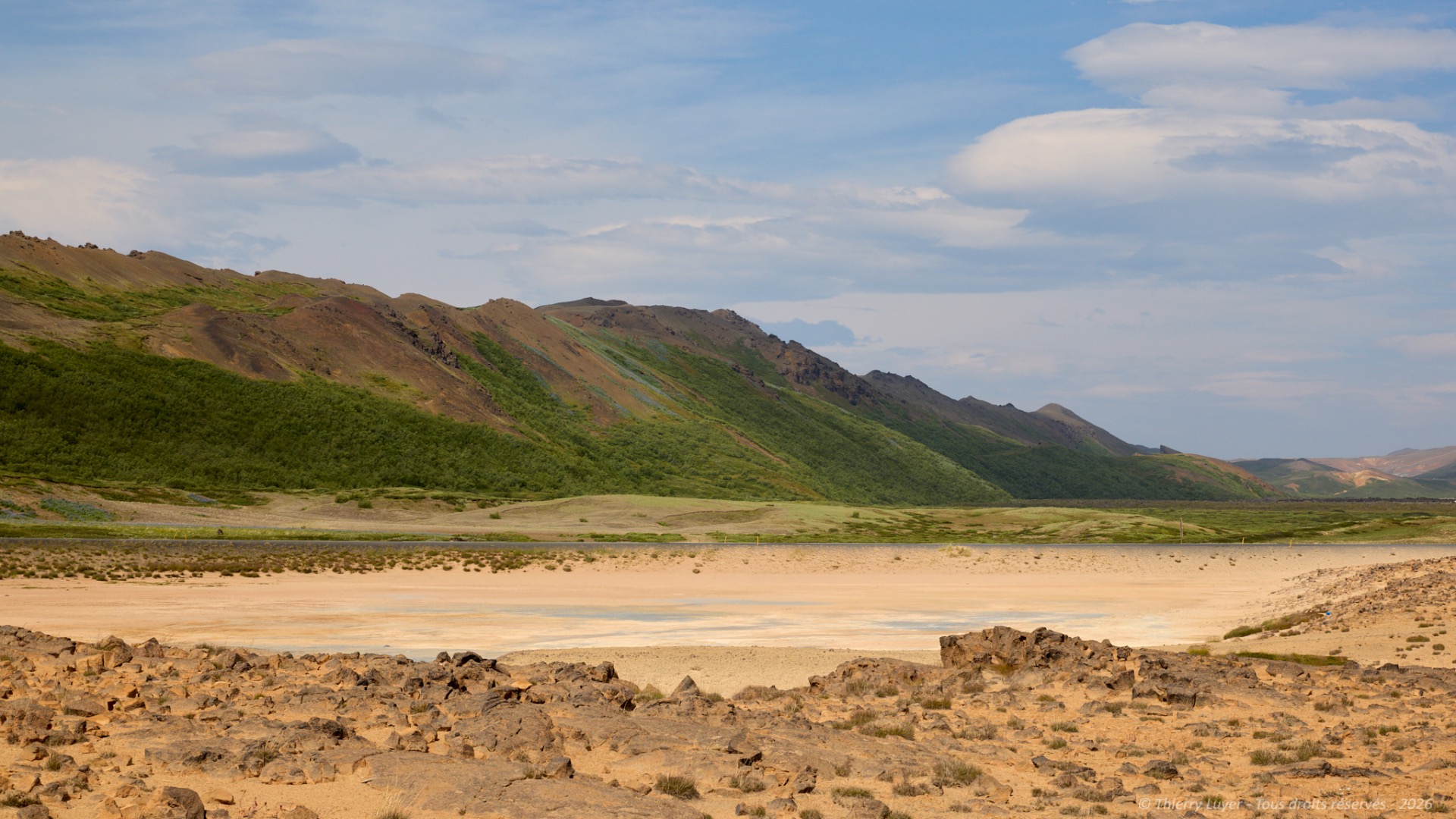
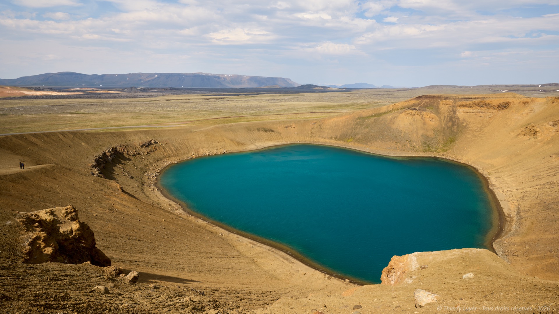
My first stop this mid-afternoon is the Víti crater. It is a geological formation within the Krafla volcanic system. Its name means « hell » in Icelandic. It was formed in 1724 during a massive explosion that marked the start of the « Fires of Mývatn », a period of eruptions that lasted five years.
Today, the crater houses a 300-meter-diameter lake with blue-green waters, the colour of which is due to minerals resulting from geothermal activity. The contrast with the dark lava fields surrounding it is truly beautiful.
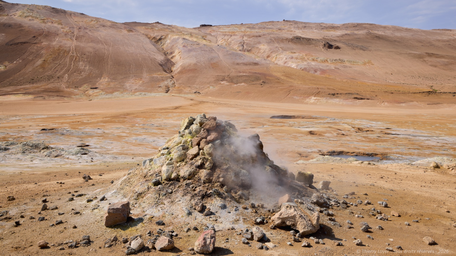
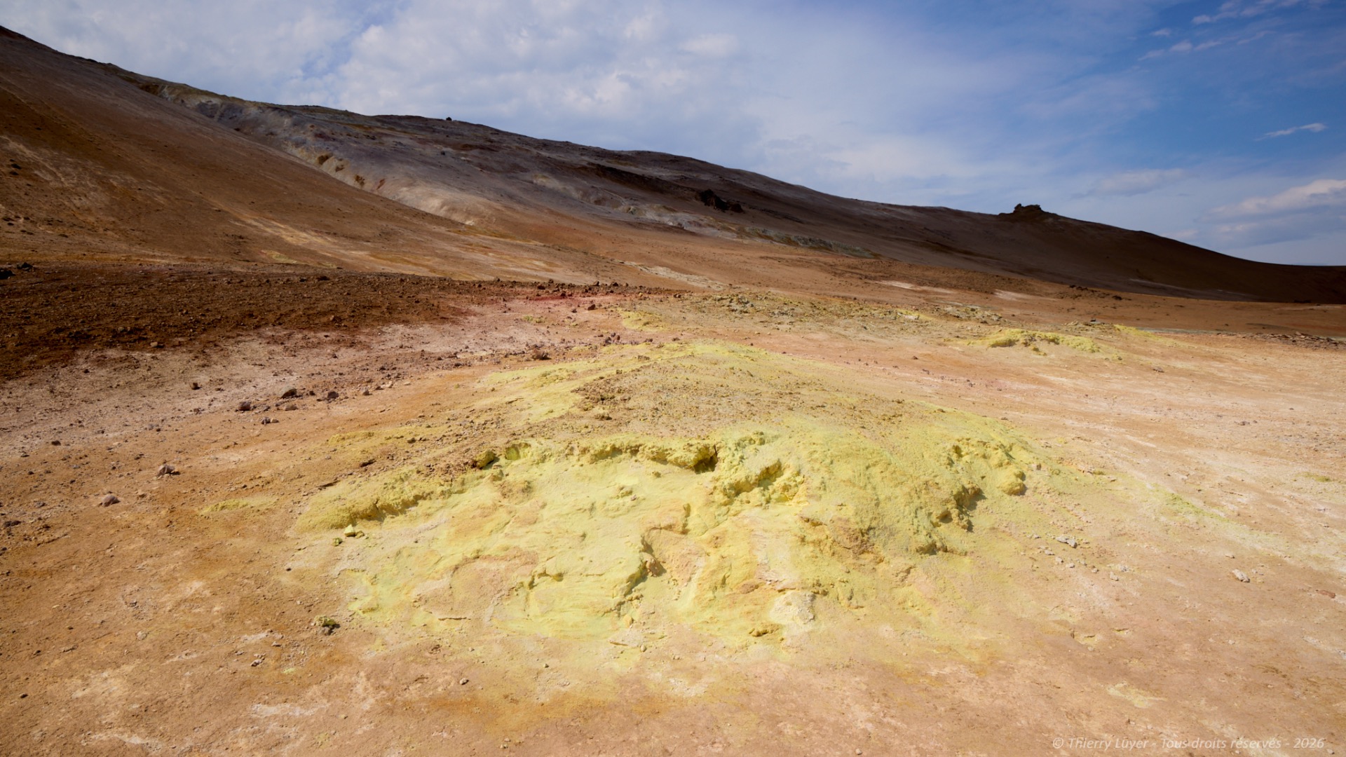
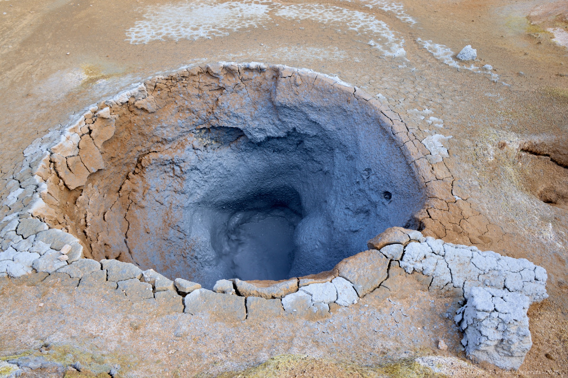
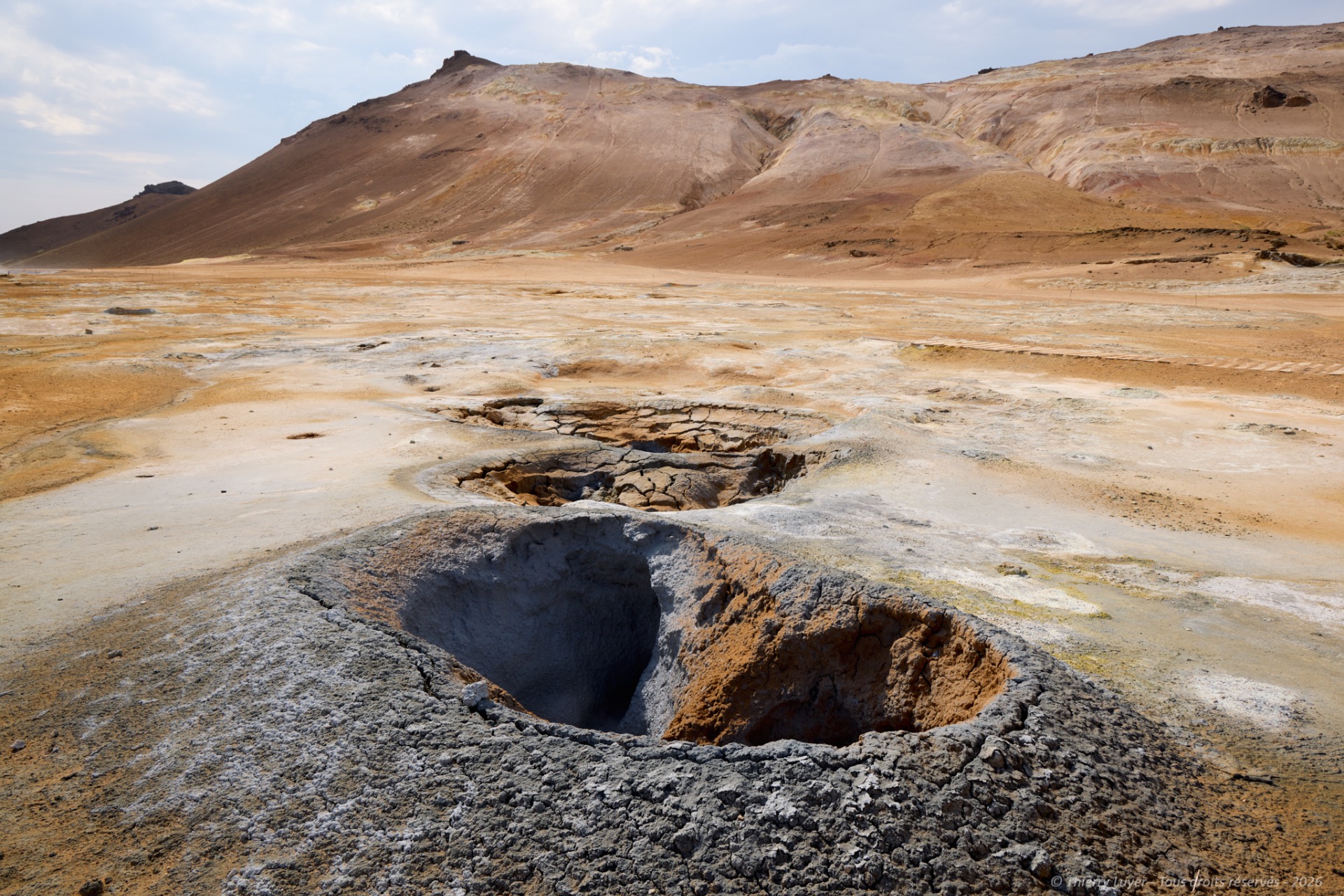
Not far from there, the Hverir geothermal site, very touristy..., is known for its bubbling mud pools and fumaroles emitting sulfuric gases. The smell of sulfur is omnipresent there.
The day comes to an end after 300 km and nearly 4 hours and 30 minutes of driving.