The Crozon peninsula in three photo days!
Crozon peninsula
Discover my latest photos taken during a three-day photo trip to the Crozon peninsula, in Finistère, in a mild spring-like month of May.
Day 1: The northern tip of the peninsula.
Our first stop is the majestic islet of the Capucins. This former military fort, built in 1848 on an islet at the entrance to the strategic Brest Narrows, was partly carved out of the rock. Its name comes from a rock near the islet, in the shape of a monk at prayer. The islet is linked to the land by a magnificent bridge built from the schist of the rock itself, like the rest of the site.
Further down, following the coast towards the south, we reach the ruins of Fort de la Fraternity and the Devil's Islet. The latter can be reached via a small bridge and then a fairly steep staircase that sink into the vegetation to reach a path that leads to the tip of the islet. To the left of the small bridge, in an imposing, narrow cleft in the cliff.
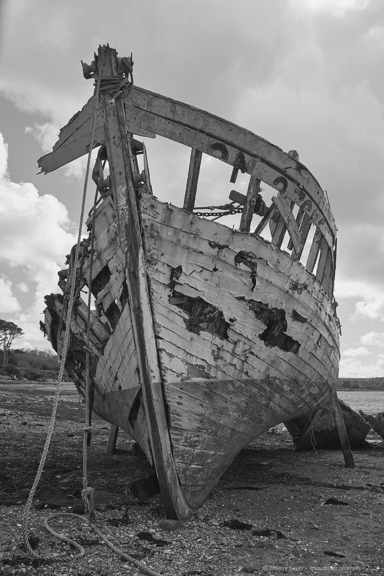
Continuing along the north-east coast, near the "Long Island", we discover the Rostellec marine cemetery, where around twenty wrecks of fishing boats, including former lobster boats and tuna boats, have washed up.
Watch the gallery (Access to the "Boat cemeteries" gallery requires member access available on simple request from the administrator via the form)

"Last witnesses of a bygone era, these wrecks begin their last journey, frozen on the shore, their prows proudly upright, defying time despite wear. The ocean accompanies them, rocking them with the ebb and flow of the tides, in a final tribute after having tormented them so much."

Continuing towards the western tip, we reach the emblematic site of the Crozon peninsula: the Pen Hir point and its 'Tas de pois'. These majestic cliffs face the ocean and are extended by a series of islets. (the "Piles of peas")

Day 3: Southern and south-eastern tip of the peninsula.
We begin this third and final day with the Dinan point. It offers a magnificent view of Dinan cove and the Pen-Hir point and its "Piles of peas". One of its extremities forms a natural fortress, looking like the ruins of a castle, with its arch like a drawbridge, which is why this rock formation is often referred to as the Château de Dinan.
Following the coast eastwards, we head towards Aber Island, which becomes a peninsula and is accessible at low tide. The parallelism of the rock strata visible at low tide is very graphic and illustrates well, by its orientation, the direction and strength of the current at high tide.
The weather, which has been fine until now, is getting cloudy... the light is fading... our photos are becoming rarer...
The final leg of our journey takes us to the Guern point, also known as the Tréboul point. The high cliffs dominate the ocean, offering a superb panoramic view, and on a clear day you can even see the town of Douarnenez.
On the last day, the rain caught up with us and deprived us of this spectacle!


