
Cornwall in October
Celtic Lands
We've planned a week-long tour of the entire Cornish peninsula this October. After taking the ferry from Roscoff to Plymouth, we'll explore the north coast and then the westernmost tip, before returning along the south coast to our port of departure, Plymouth.
Day 1
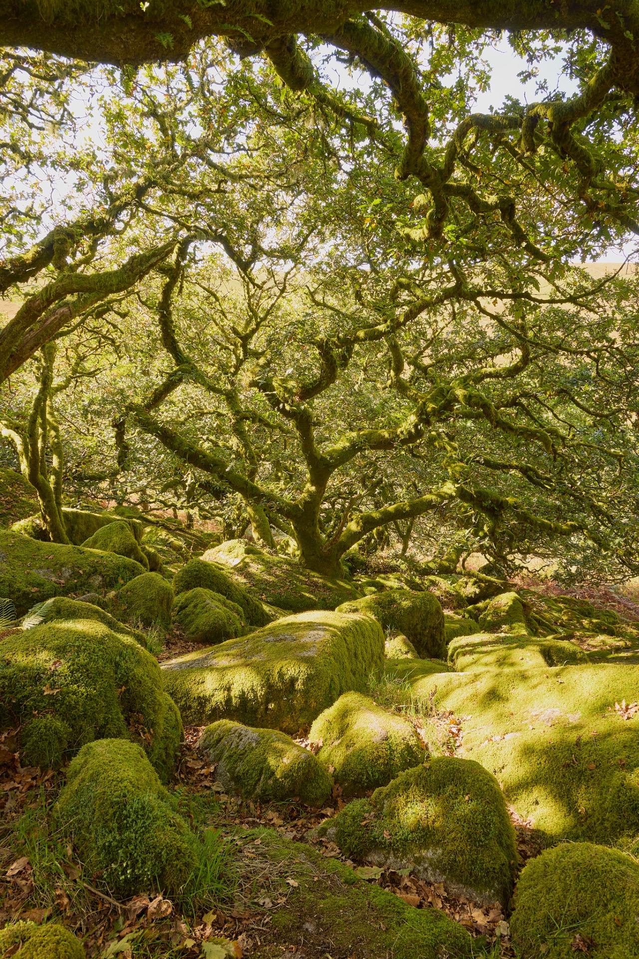
We'll set off from Plymouth for our first destination in the moors: Wistman's Wood, an ancient forest situated in the mountainous region of Dartmoor, in the county of Devon, and designated a national nature reserve. The walk is easy, with an elevation gain of 209 metres over a 7.6 km round-trip distance. The gnarled, lush green trees, covered in lichen, twist in every direction amid a chaotic landscape of moss-covered rocks. It is a place that has inspired many legends.
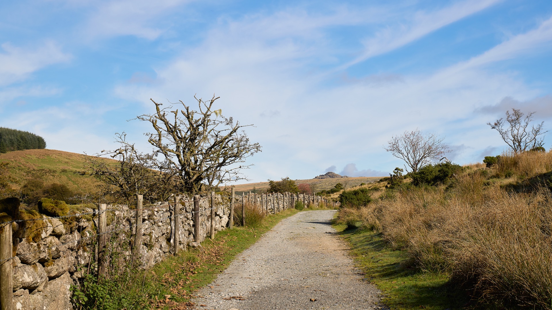
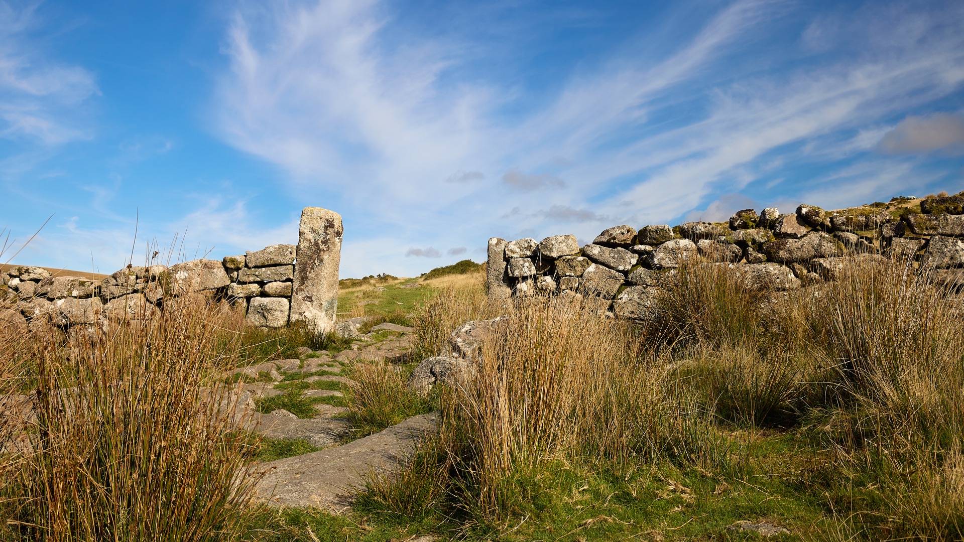
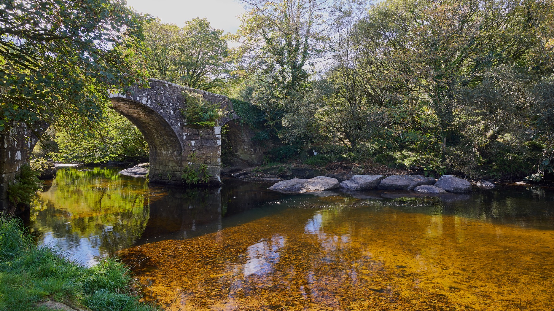
We stop for a picnic on the banks of the West Dart River before heading back to Combestone Tor, a hilltop site typical of the Dartmoor moors.
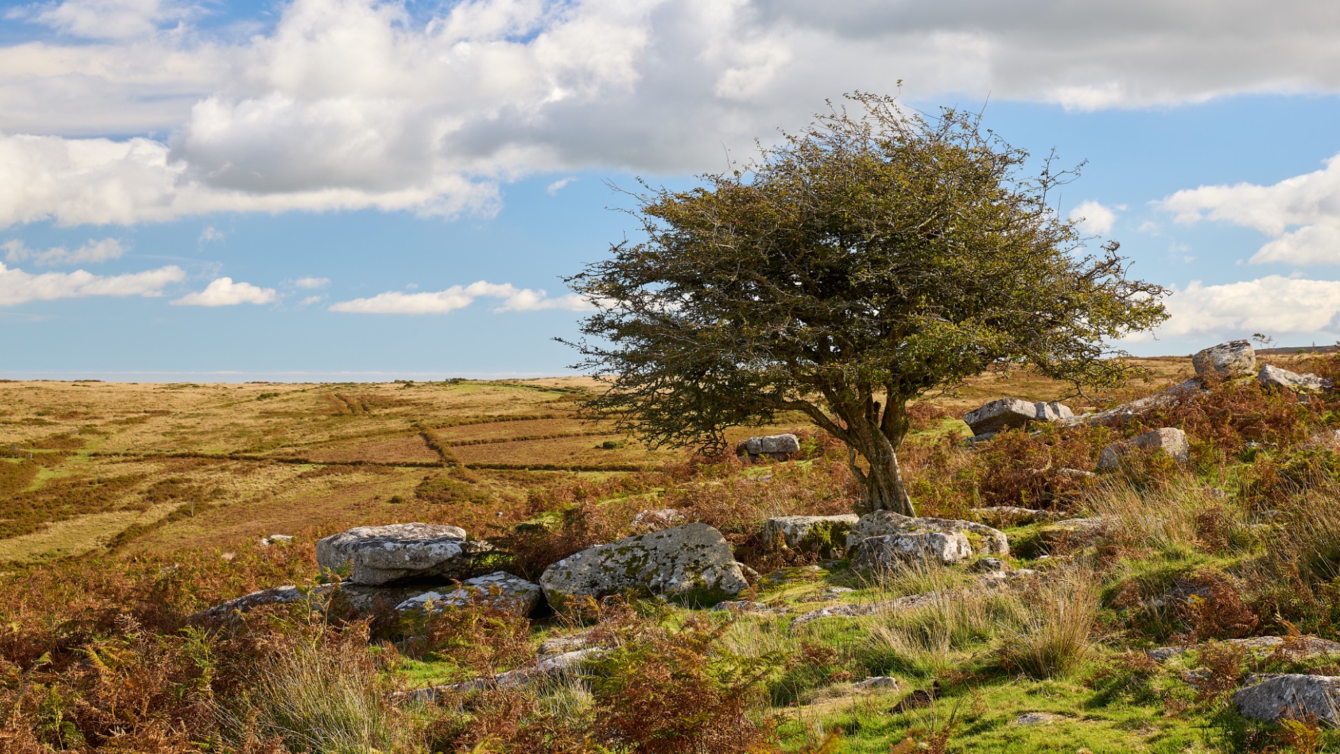
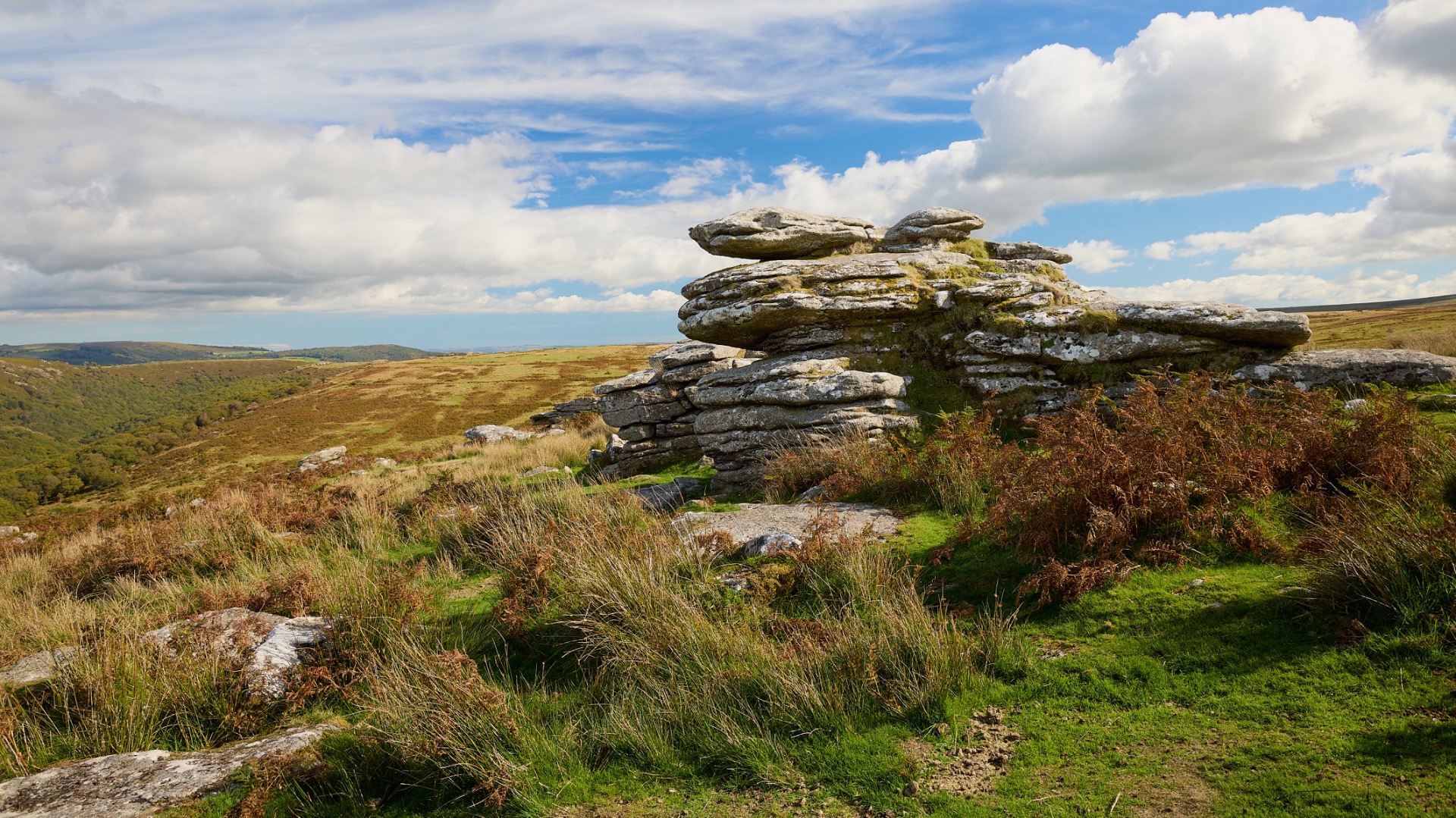
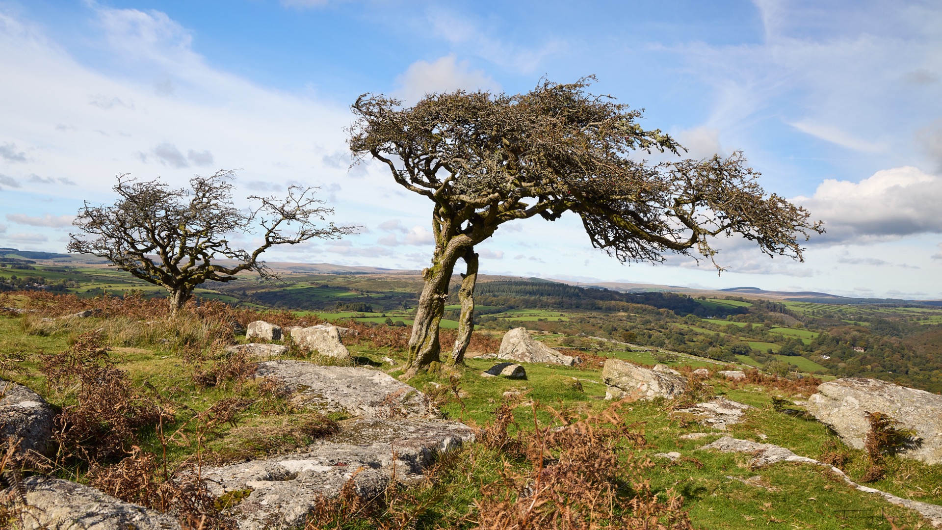
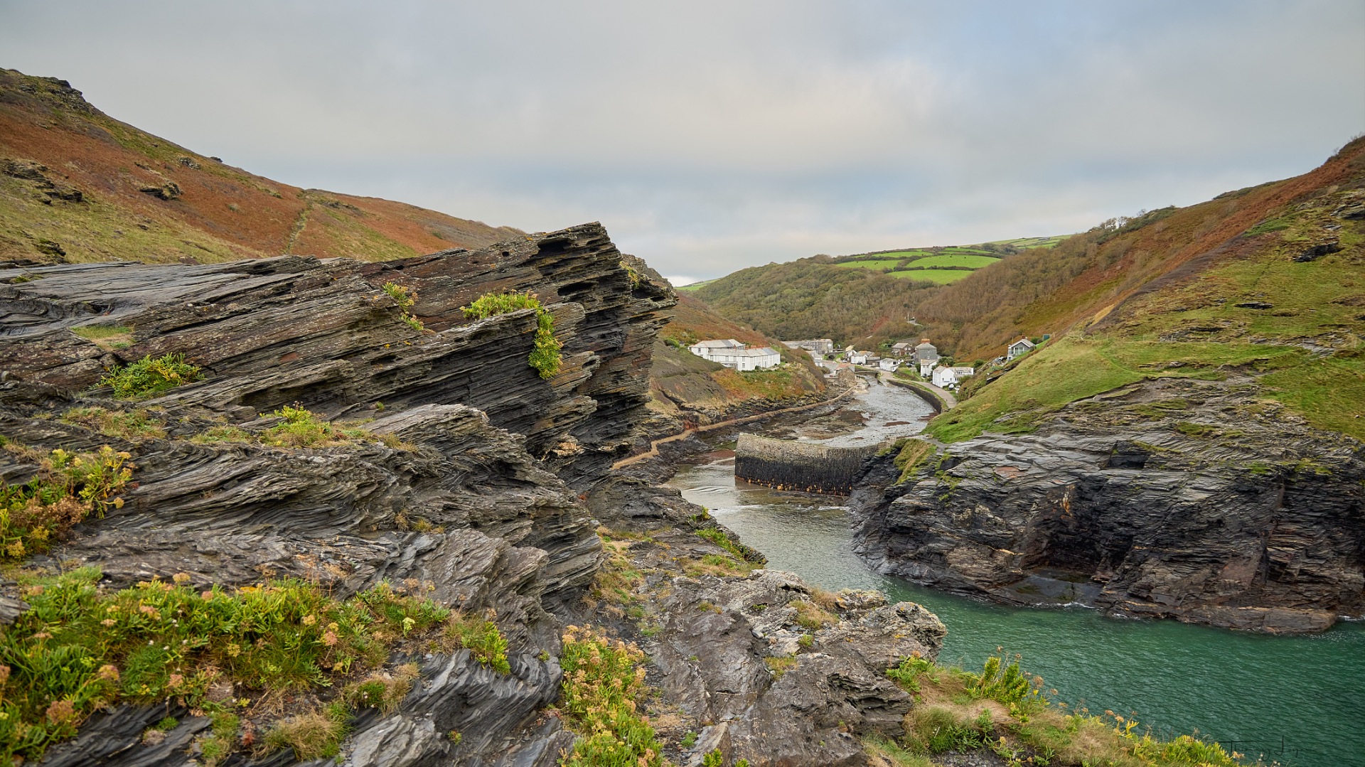
We end the day at Boscastle Harbor, located on the north coast, under a very gray, leaden sky. In October, it starts to get dark around 5 p.m.
Day 2
We then head to Tintagel Castle, one of Cornwall's most popular tourist attractions. Tintagel Castle, of which only a few ruins remain, is famous in legend as the birthplace of King Arthur. The site is more notable for its history, its suspension footbridge, and its maze of staircases than for its photogenic appeal.
Day 3
This morning we woke up to thick fog and set off for the Trevose Head Lighthouse. The lighthouse stands 27 meters tall and has a range of 20 nautical miles. Built in 1847 by engineer James Walker, it was automated in 1995.
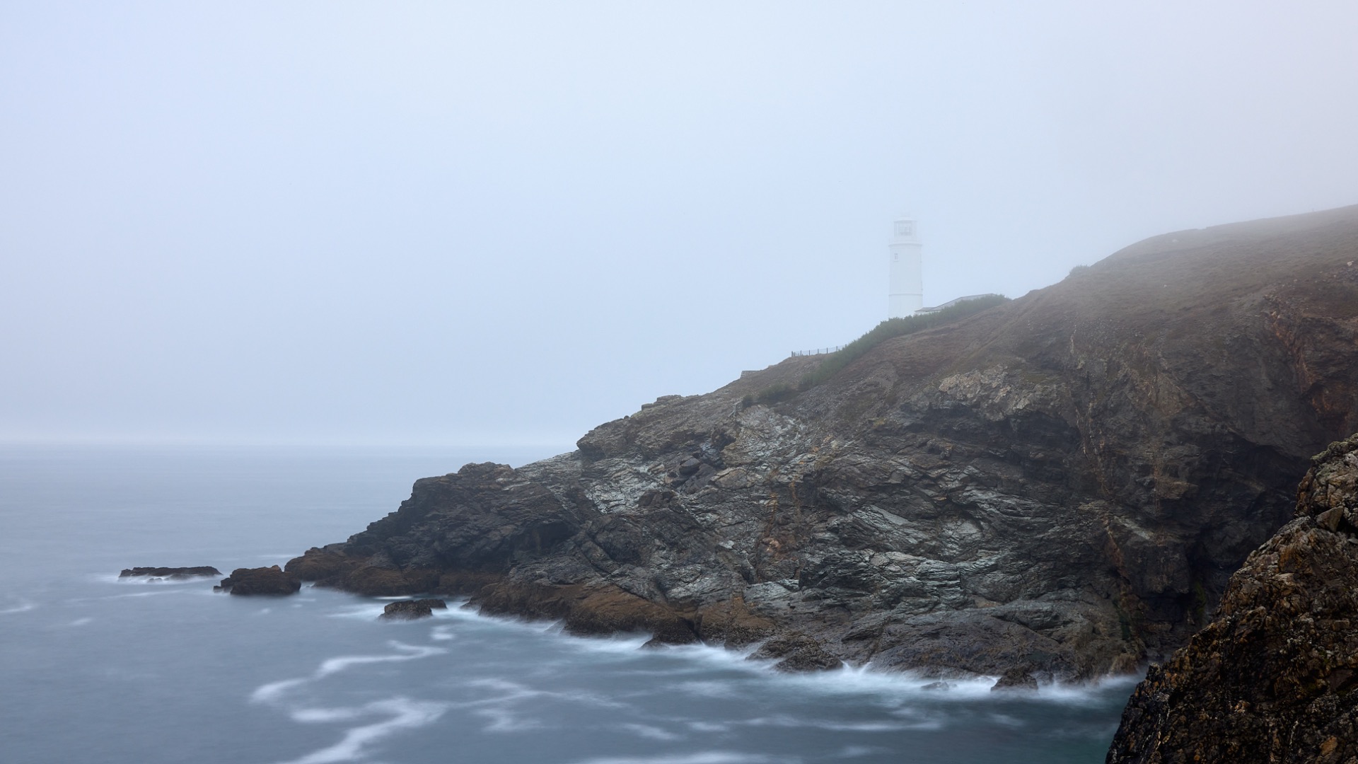
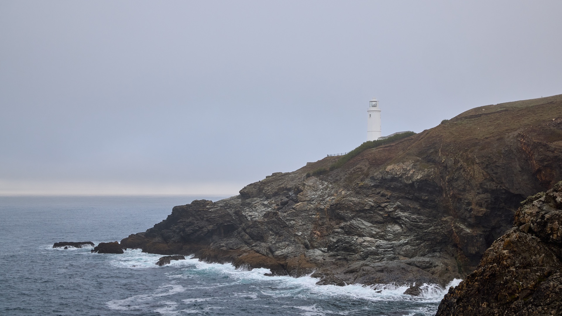
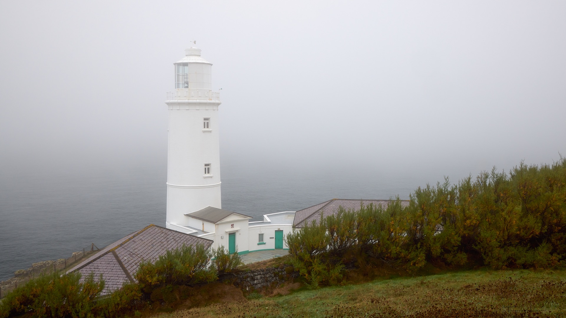
Our next stop is Carnewas at Bedruthan, with its breathtaking coastal views and spectacular cliffs. The fog is gradually lifting, giving us better light.
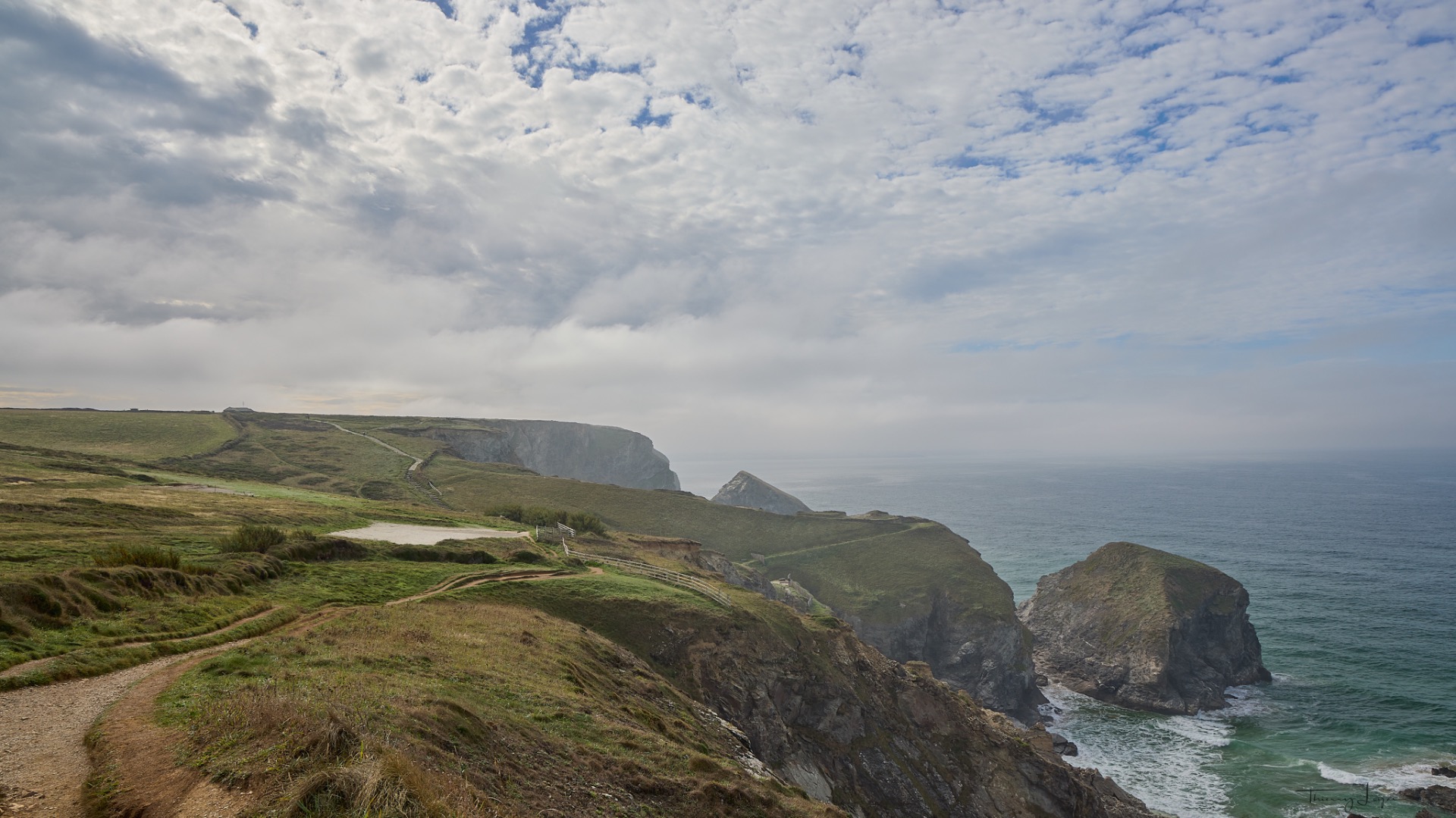
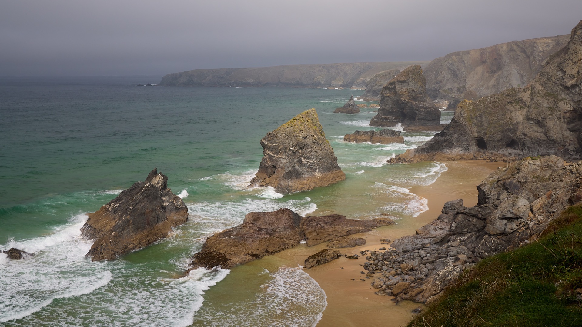
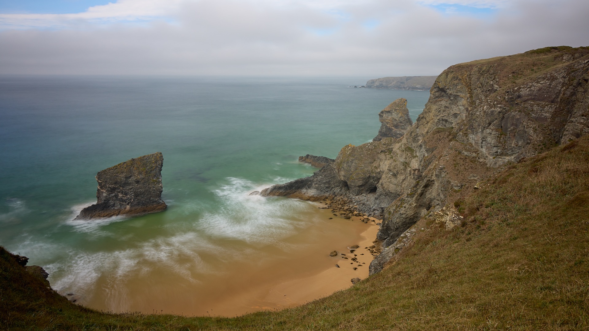
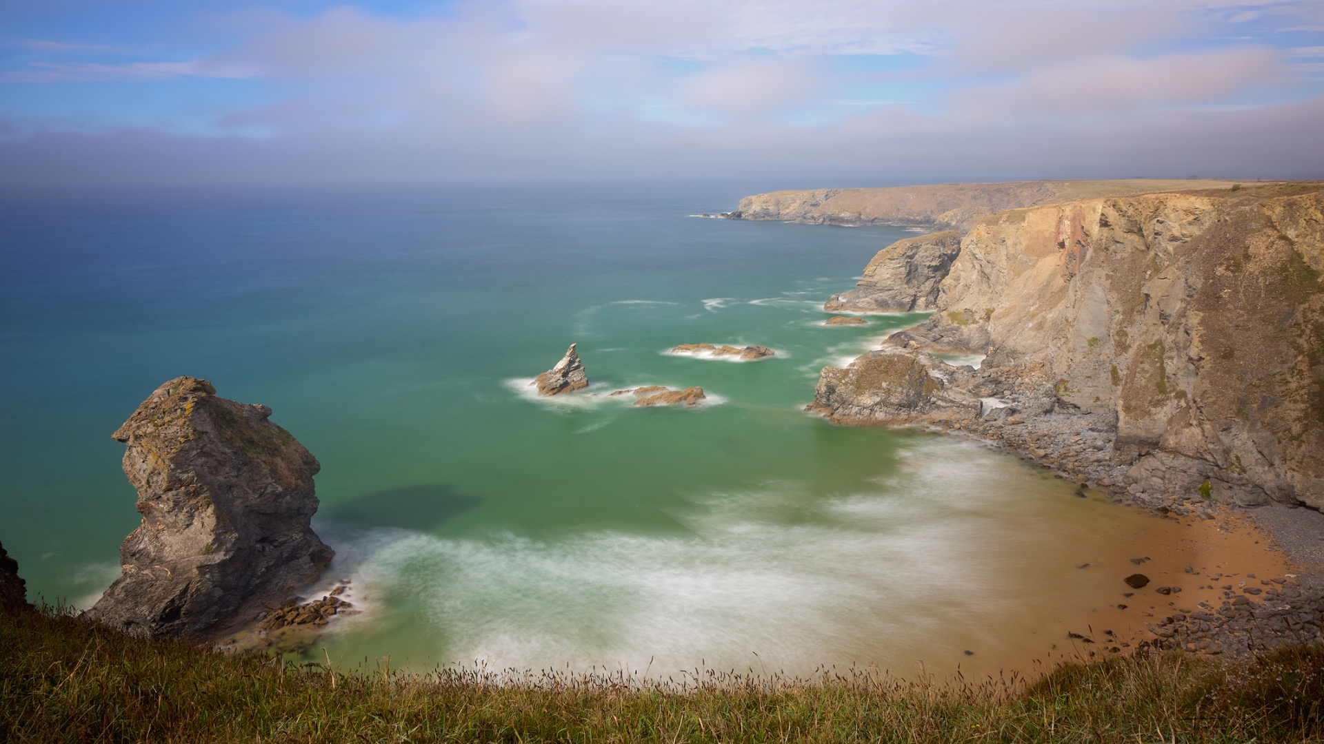
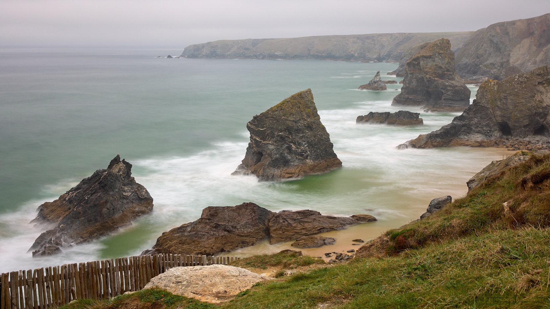
We continue on our way to St. Agnes Head and the Wheal Coates tin mine, perched atop spectacular cliffs overlooking the Atlantic Ocean and designated a UNESCO World Heritage Site. Opened in 1802 (with evidence of activity dating back to 1692) and in full production around 1815, it closed permanently in 1914. It primarily mined tin and some copper.
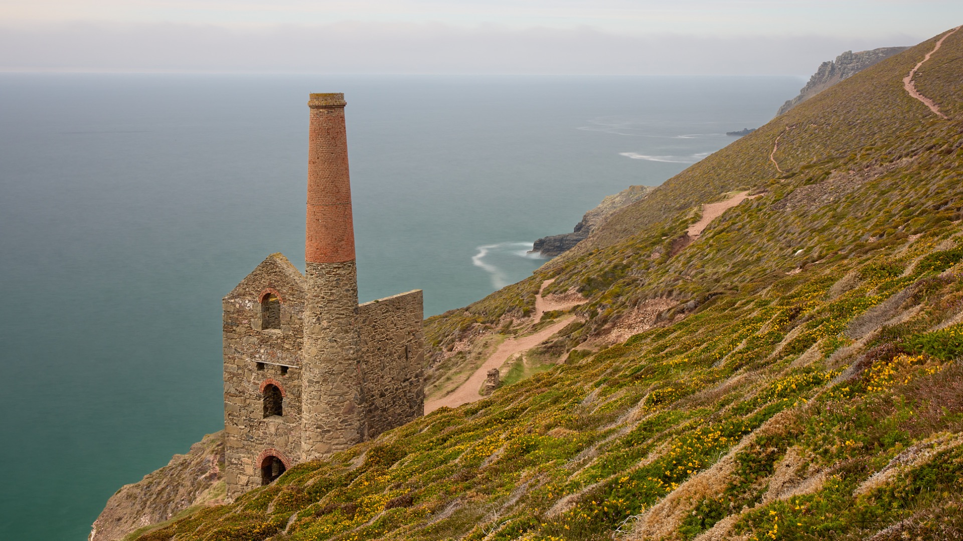
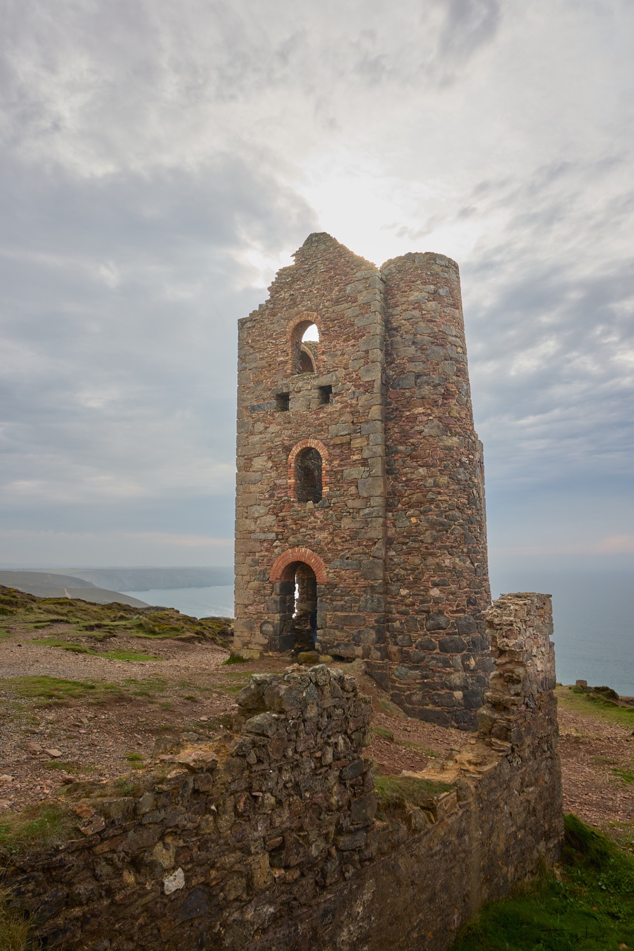
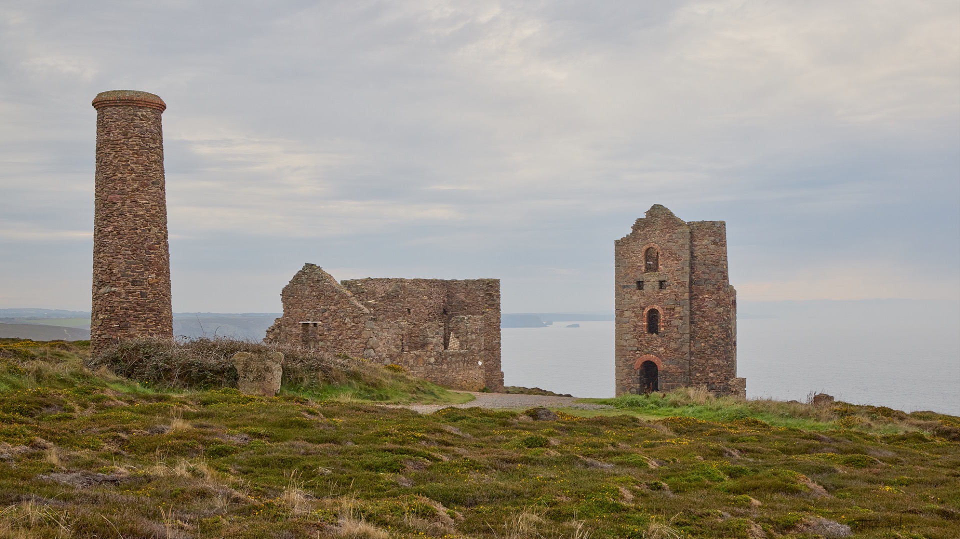
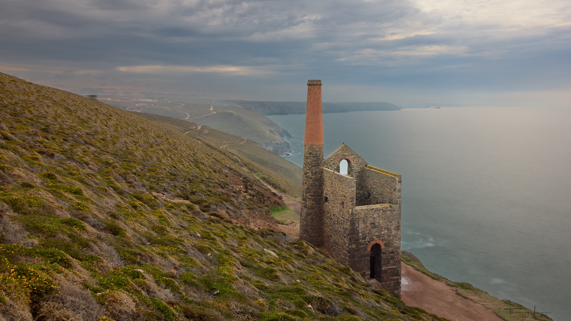
The day ends at the Godrevy Lighthouse spot, with very dim lighting conditions...
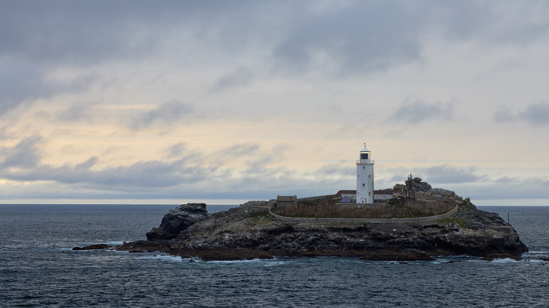
View the Cornwall gallery

Day 4
Our first stop of the morning will be Gurnard's Head. A walk through the fields in the rain before reaching cliffs battered by very strong winds! Only to end up taking photos that won't do them justice!
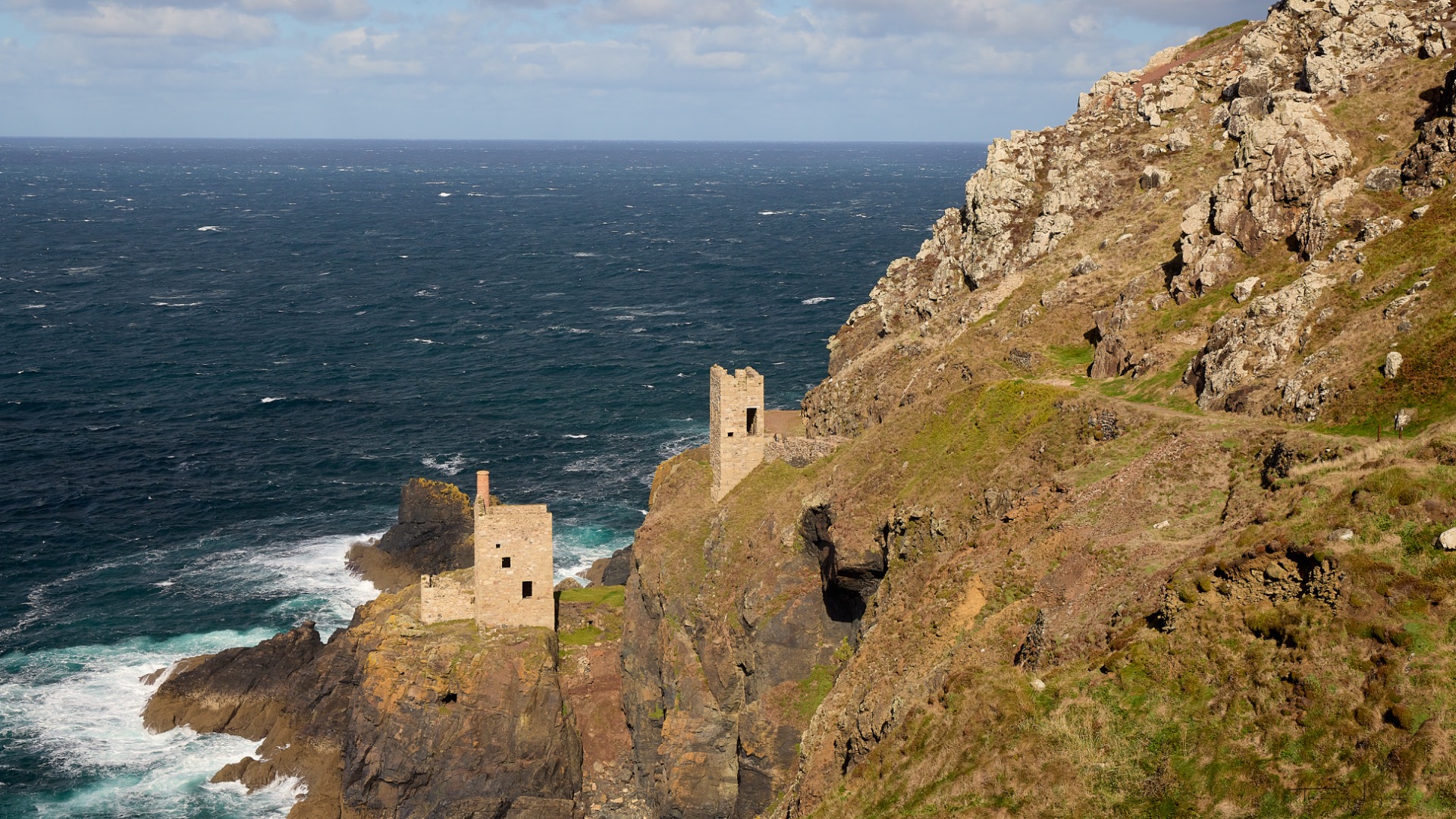
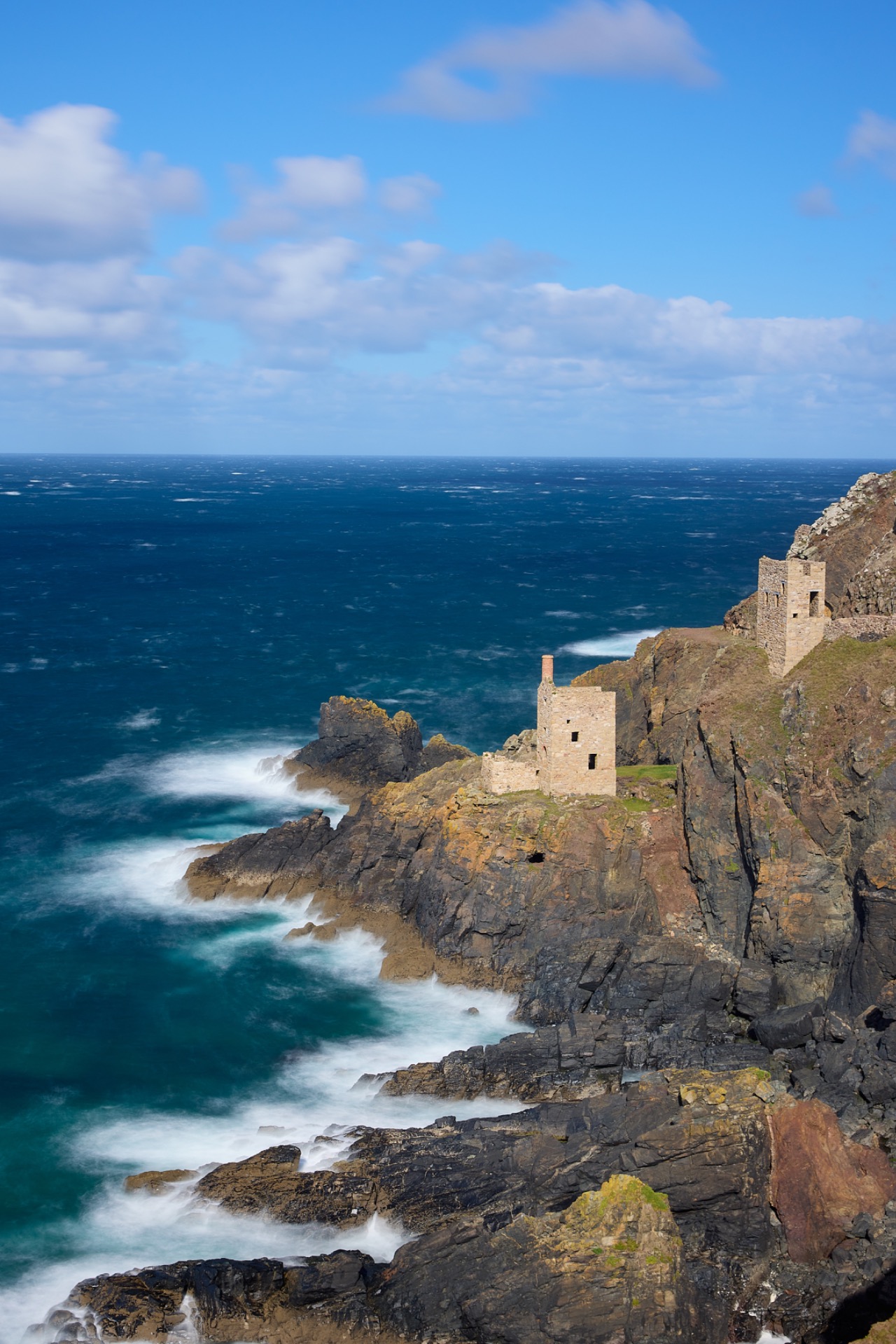
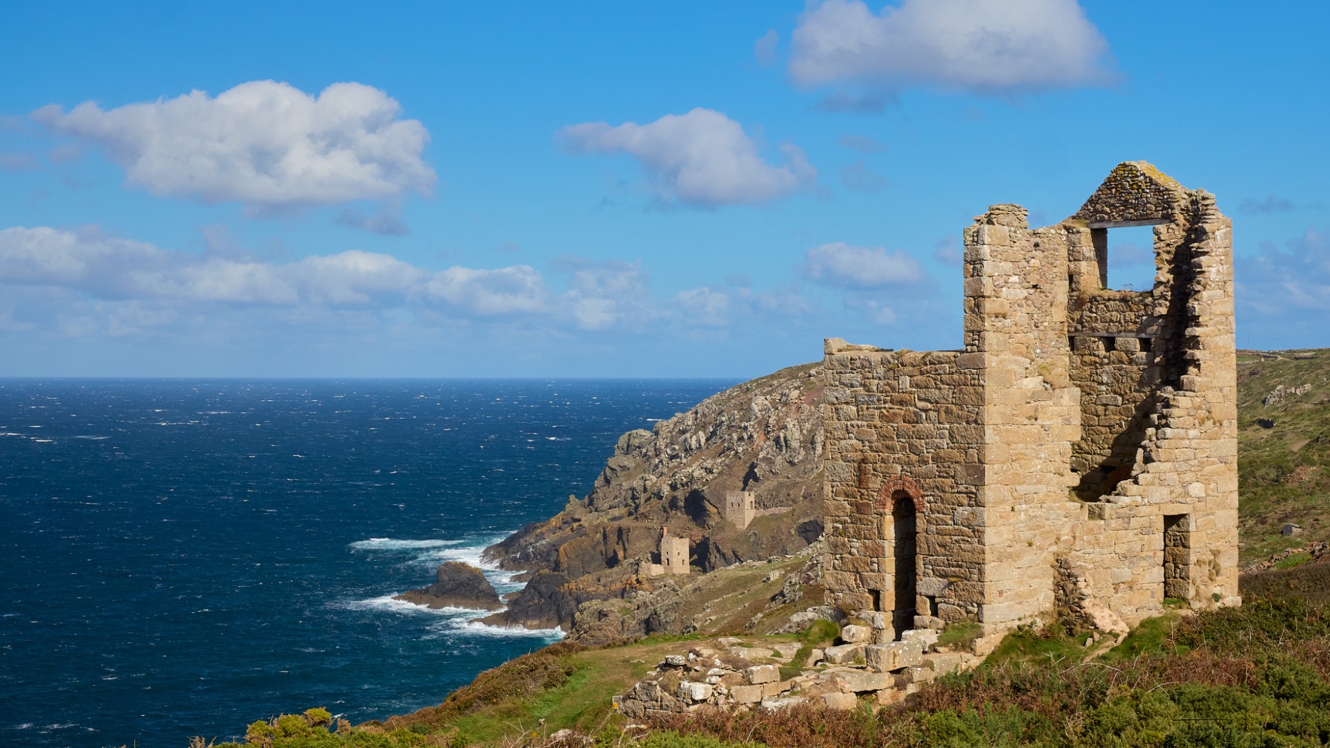
After a coffee in a pub to warm up, we continue on our way to the Crowns Mine Engine Houses, two historic 19th-century industrial buildings perched spectacularly on the cliffside facing the Atlantic Ocean. Located in Botallack, near St. Just, they are one of the most famous symbols of the region's mining heritage and are listed as a UNESCO World Heritage Site.
These two stone structures once housed steam engines used to operate the Botallack Mine, a so-called "underwater" mine whose tunnels extended deep beneath the ocean floor to extract copper and tin. The upper house housed a mechanical winch used to haul up ore, lower equipment, and transport miners via the Boscawen diagonal shaft, an inclined tunnel that extended more than 750 meters beneath the ocean floor.
The sky is gradually clearing, but the winds on the cliff remain strong, preventing us from taking long exposures under good photographic and safety conditions on these steep cliffs.
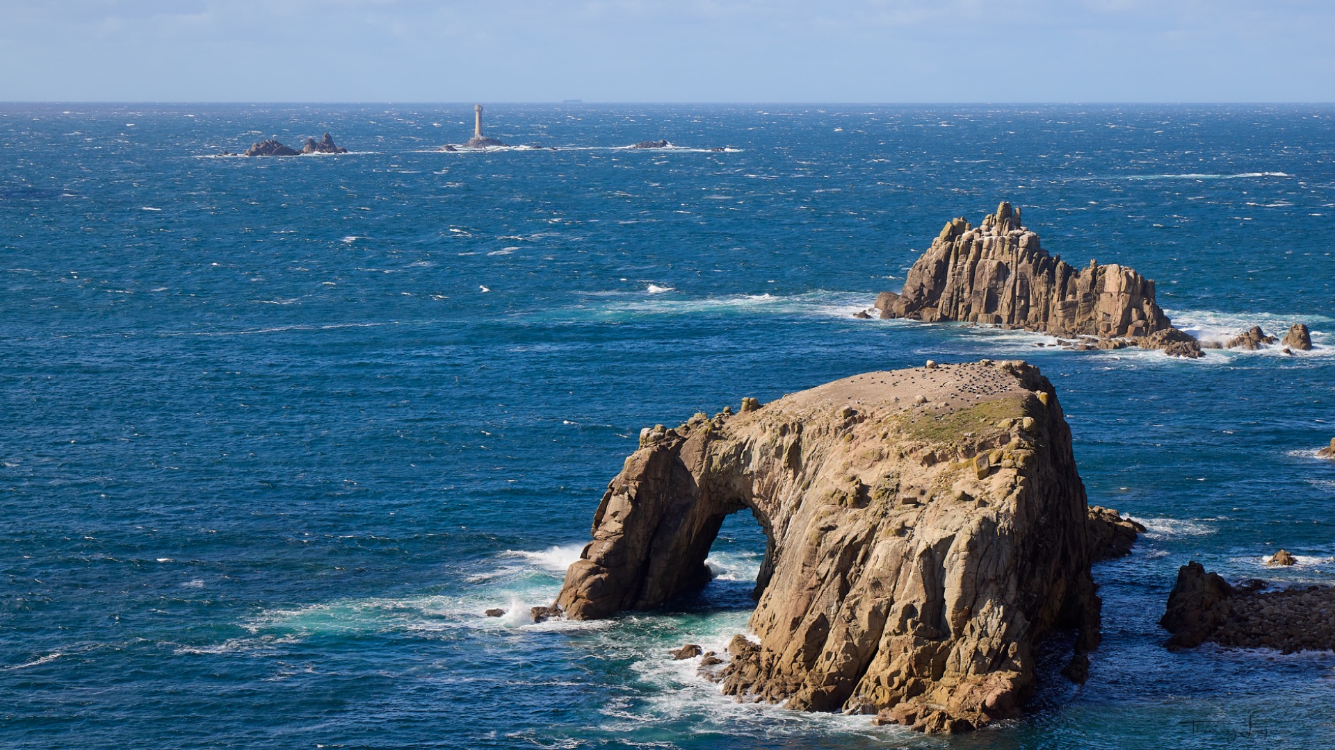
We hit the road again to reach Land's End, the westernmost point of England. It is a granite headland, very popular with tourists, offering spectacular views of the Atlantic Ocean and the Celtic Sea, with the Longships reefs and lighthouse visible offshore.
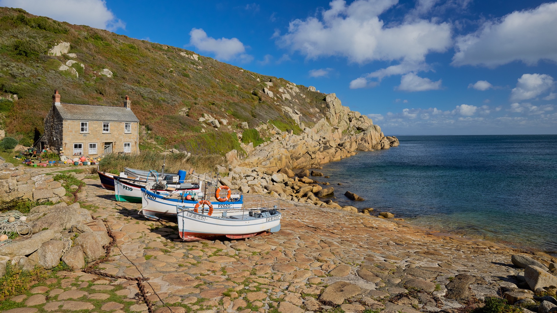
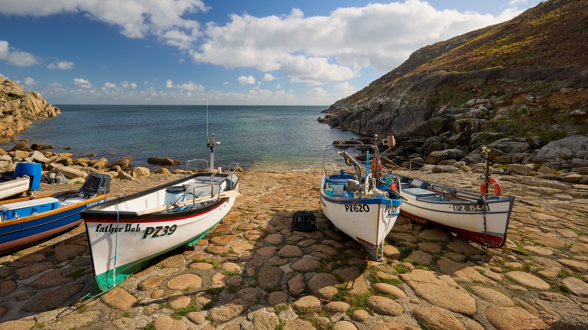
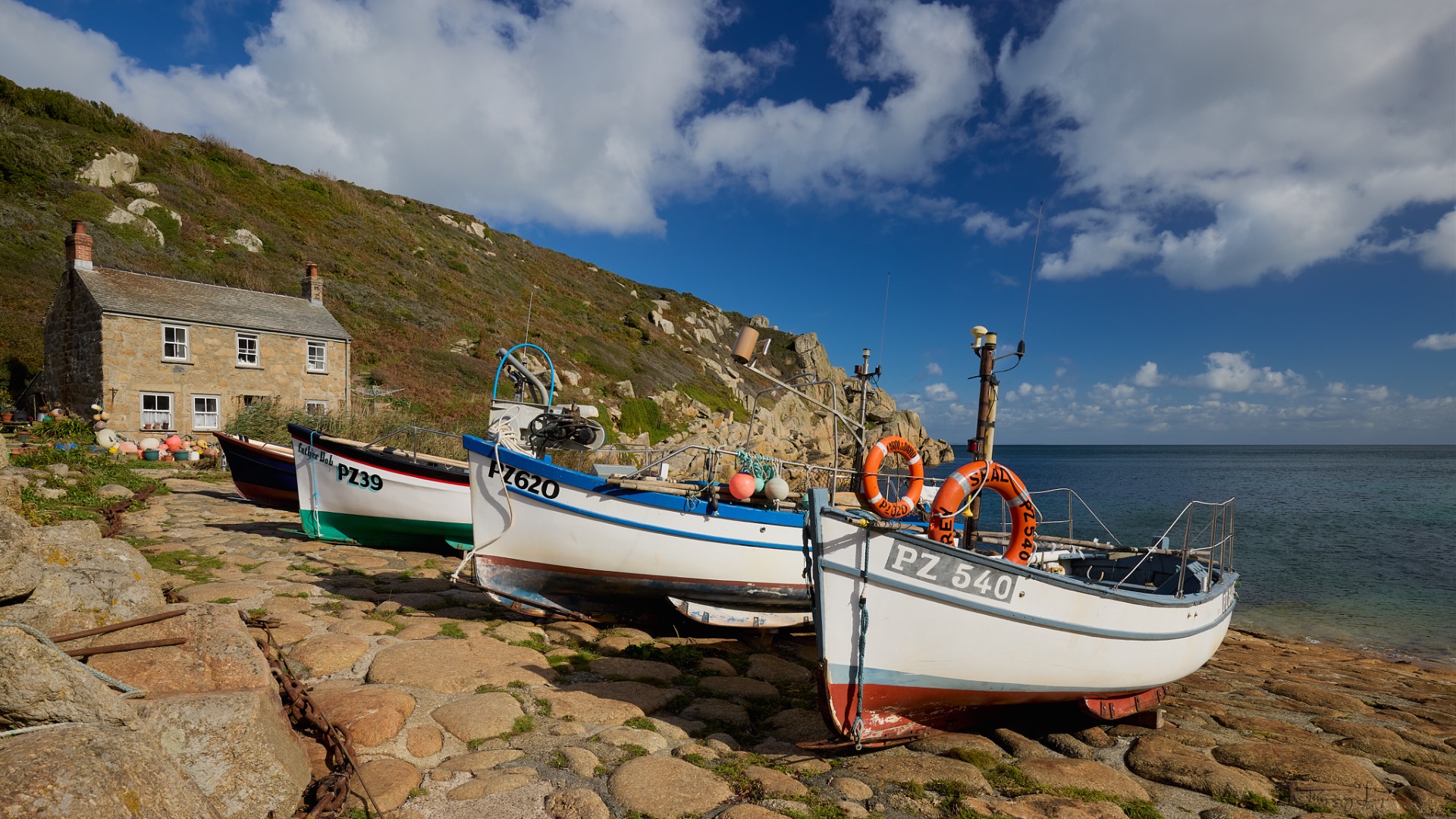
We continue on our way to Penberth Cove, a charming little cove tucked away out of sight.
Day 5
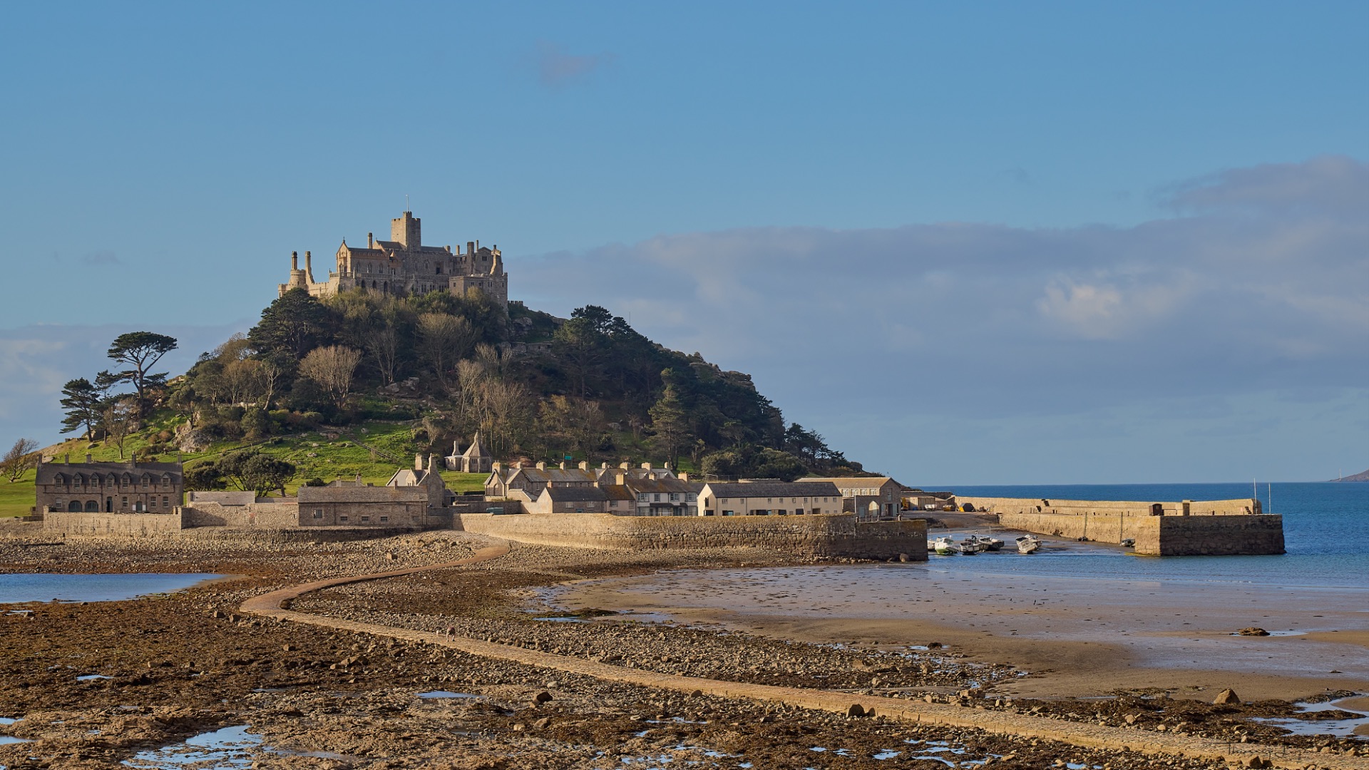
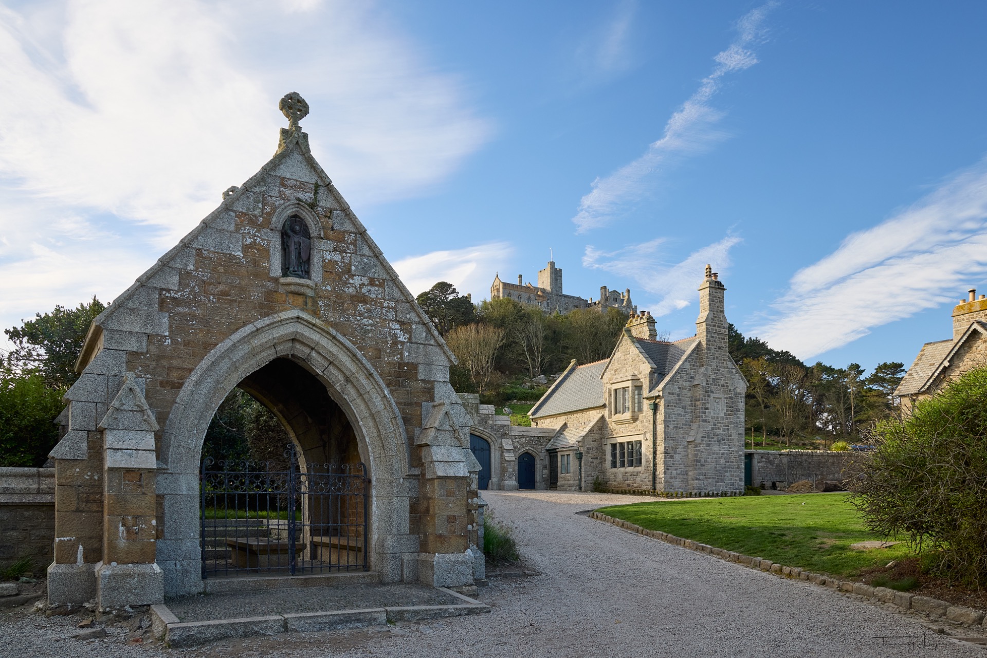
You can't miss St. Michael's Mount, a very popular tourist destination—literally "Mont Saint-Michel" in French—which is a pyramid-shaped island rising to an elevation of 60 meters, located in Mount's Bay. The resemblance—albeit smaller and lower—to the French Mont Saint-Michel is striking. It's accessed via a paved road that's only passable at low tide and mid-tide.
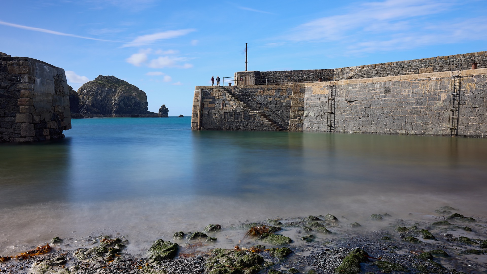
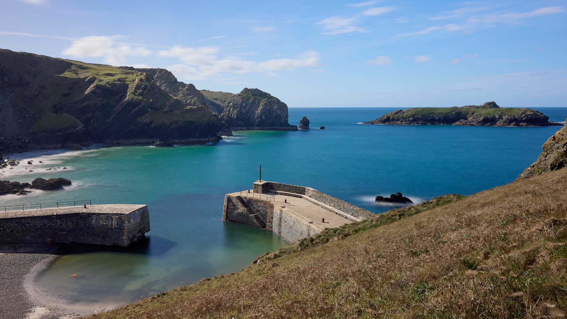
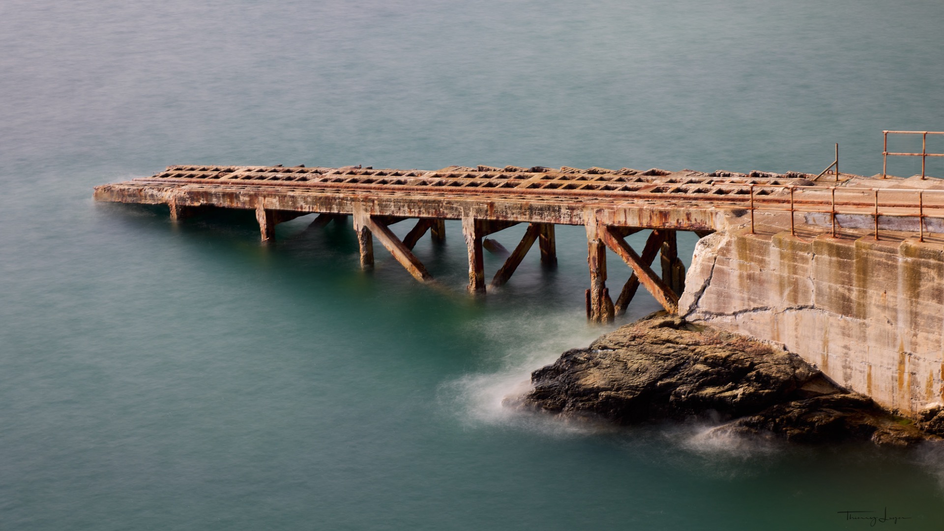
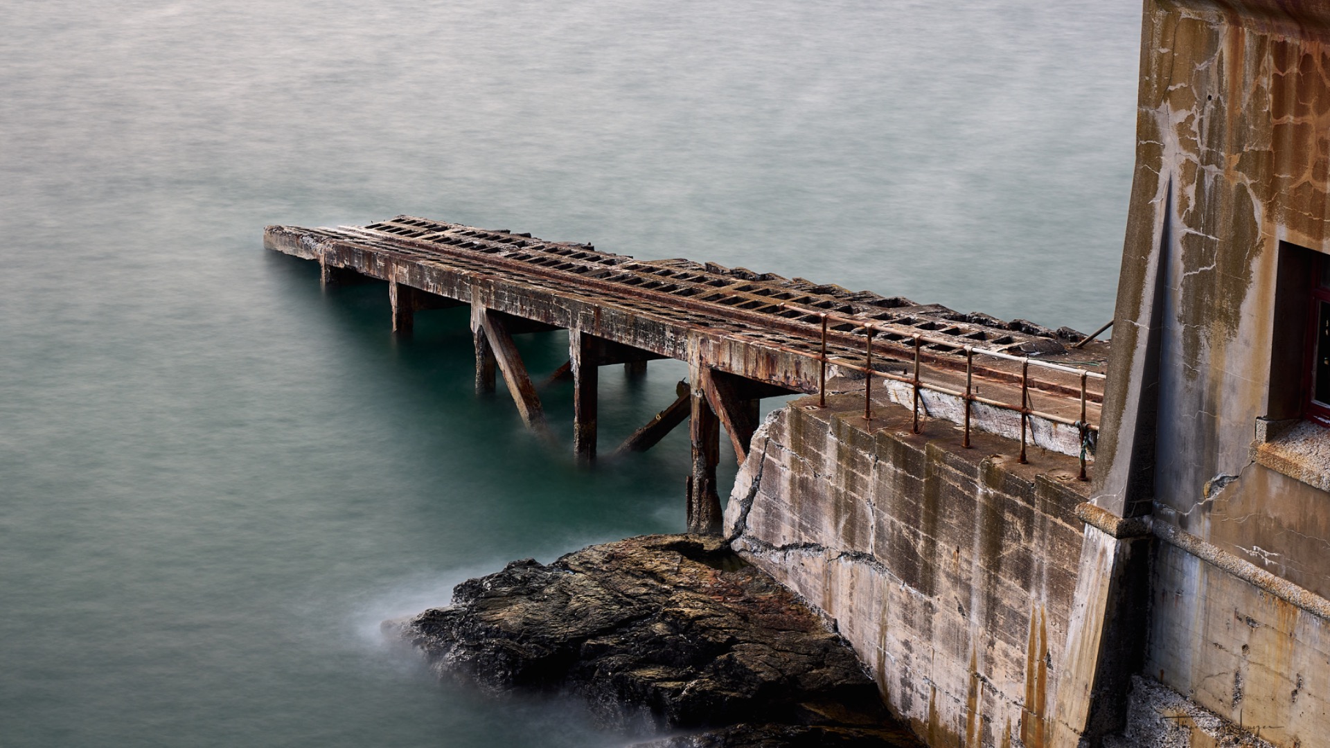
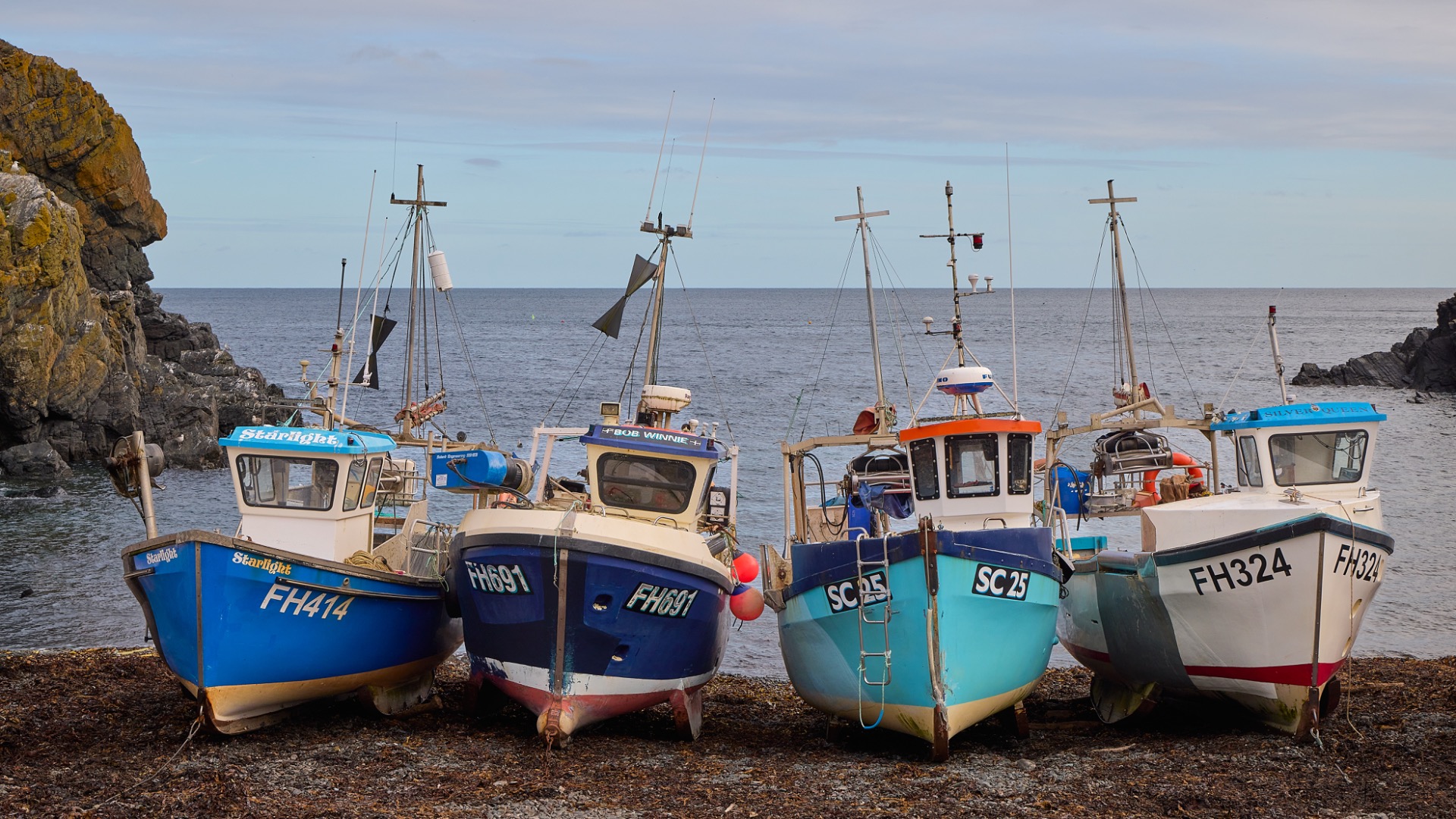
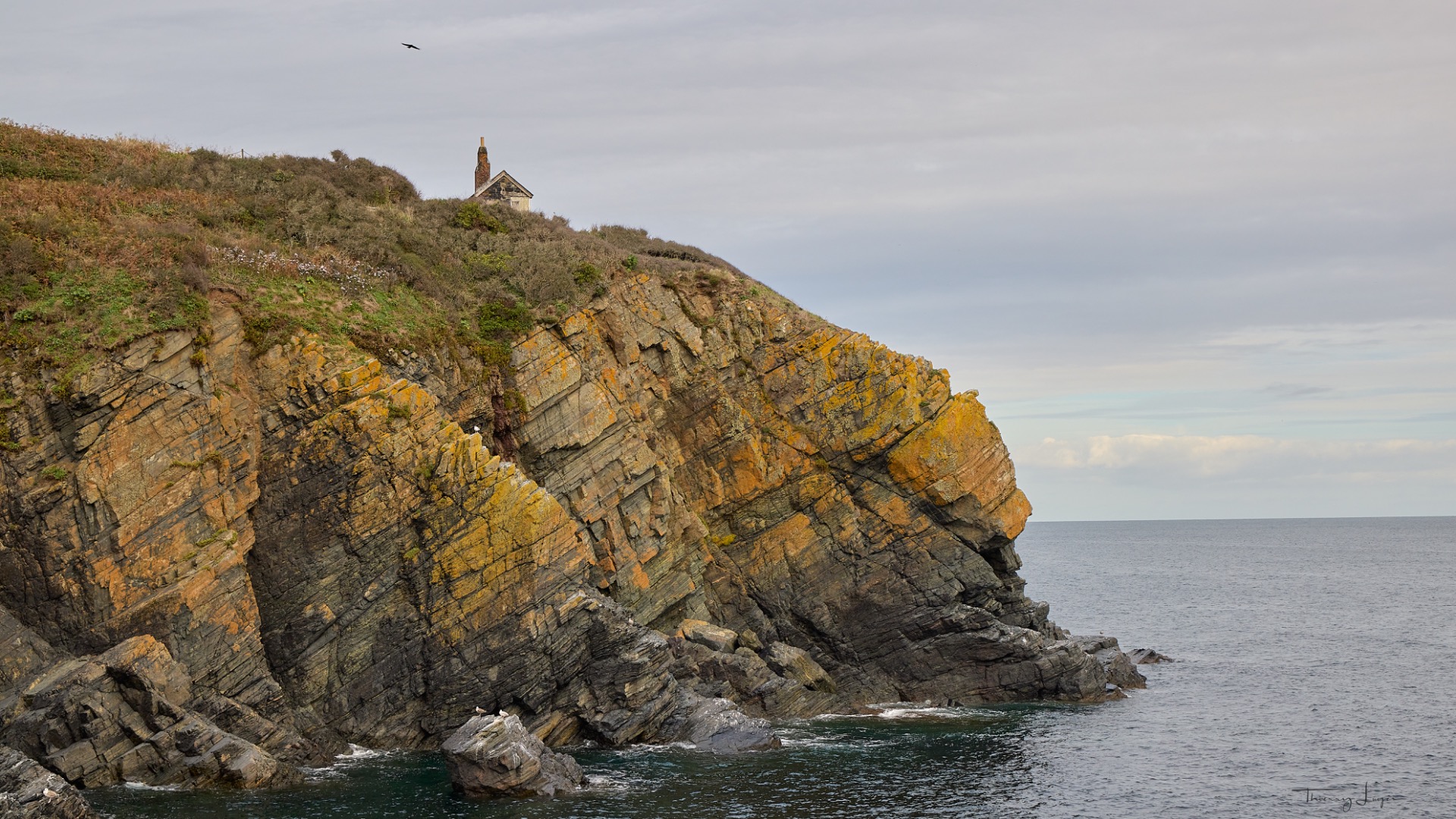
We then drive along the coast, heading due south, to Mullion Cove: a cove with turquoise waters and a small fishing harbor. It's such a peaceful and relaxing place that we'll take the time to have lunch there, as we've been so charmed by it.
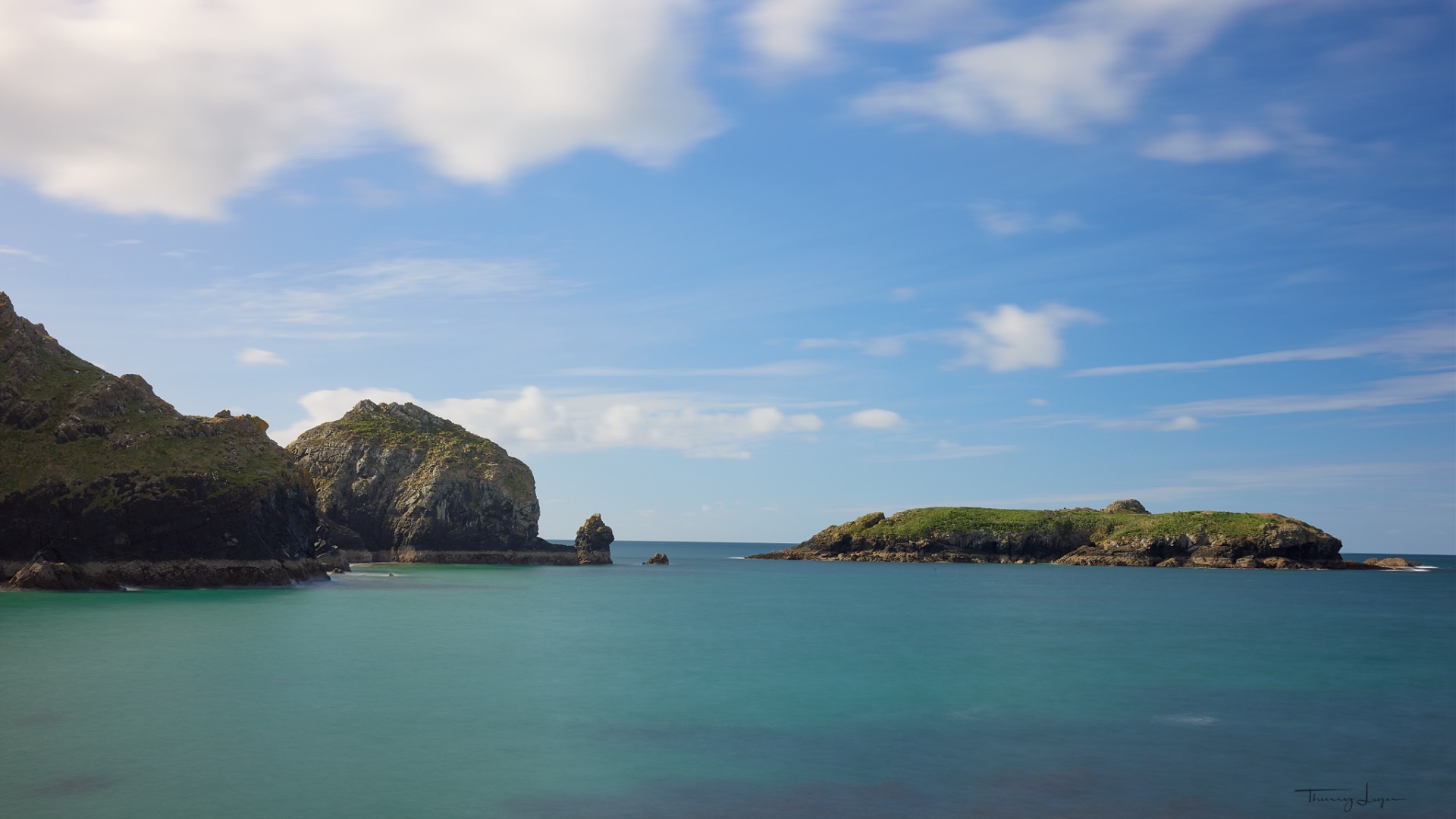
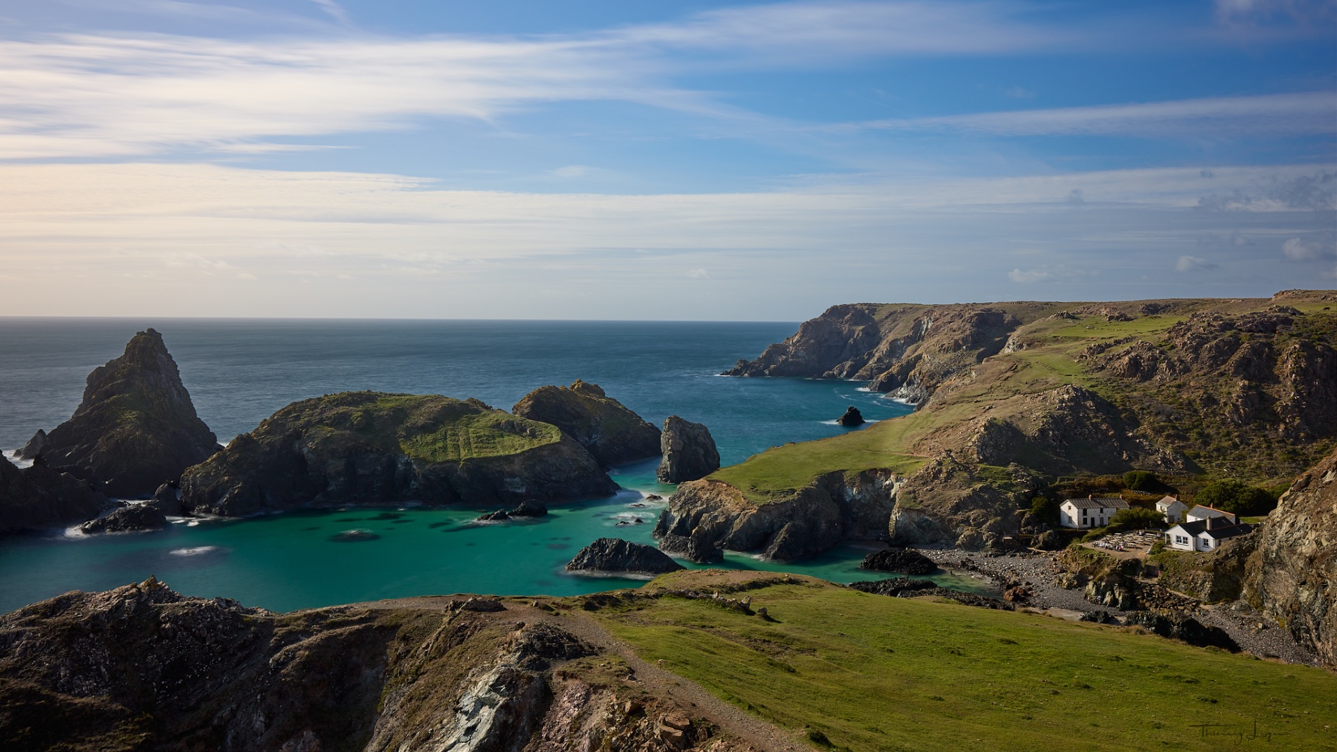
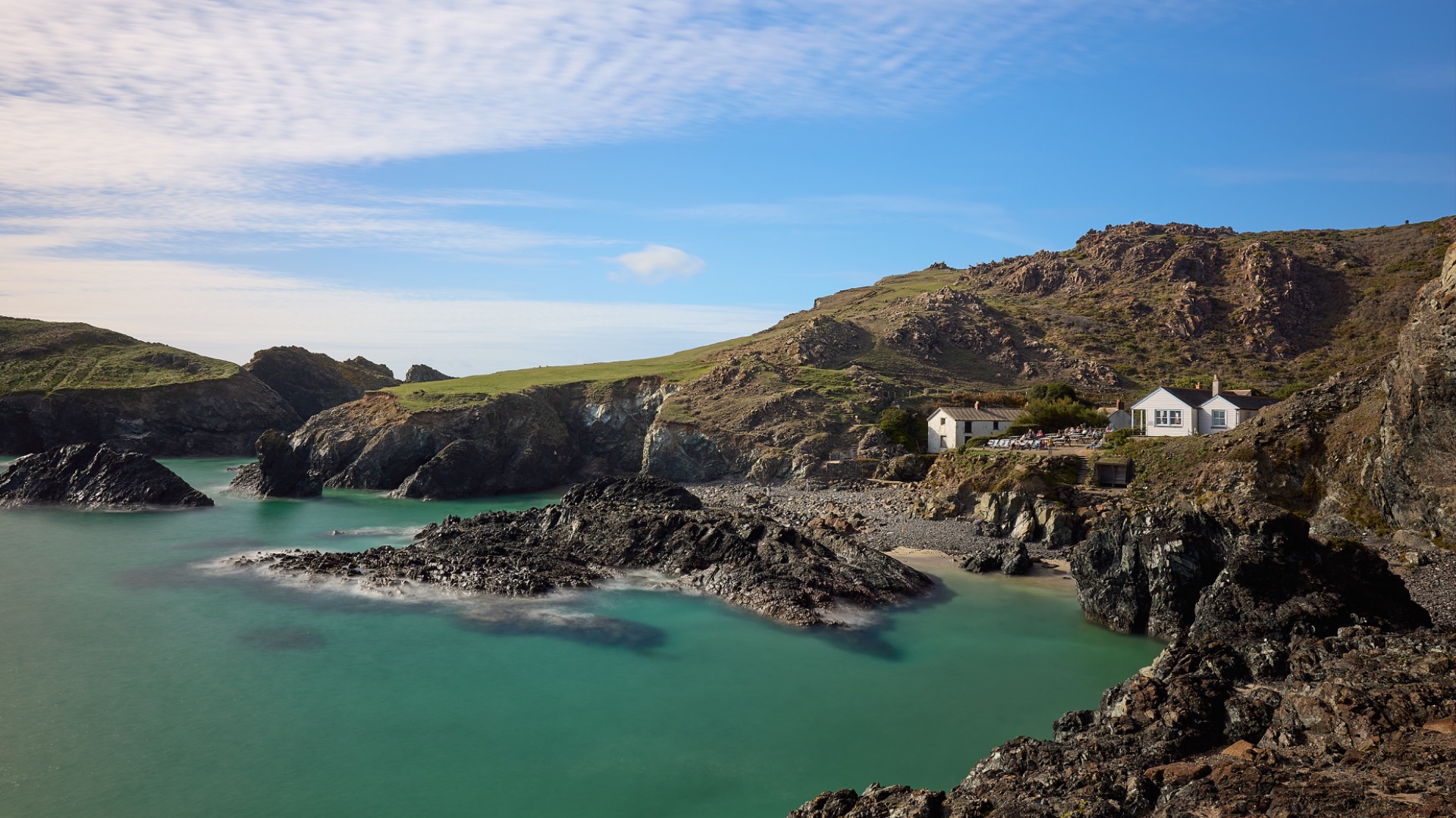
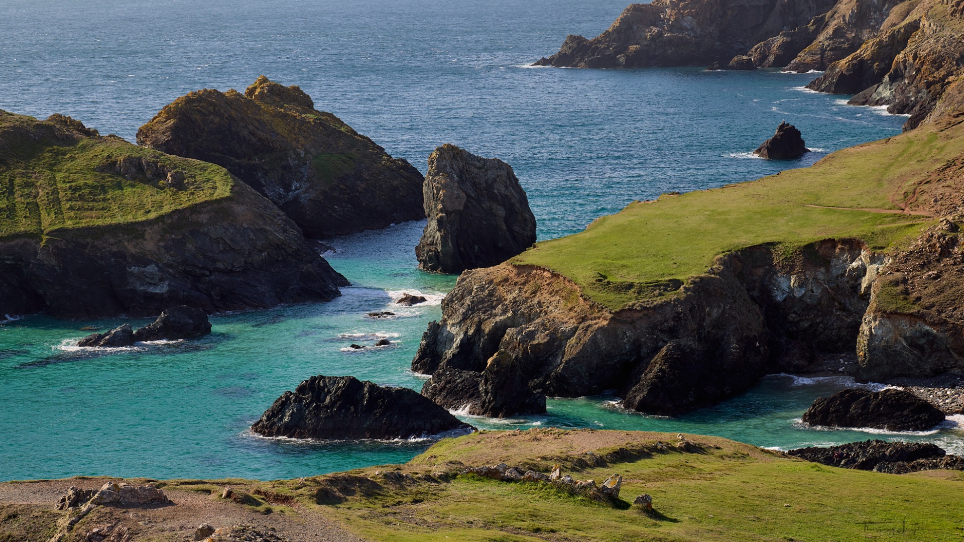
Our next spot will be Kynance Cove: another stunning, unspoilt cove renowned for its white sand, crystal-clear waters of a striking turquoise blue, and its impressive cliffs.

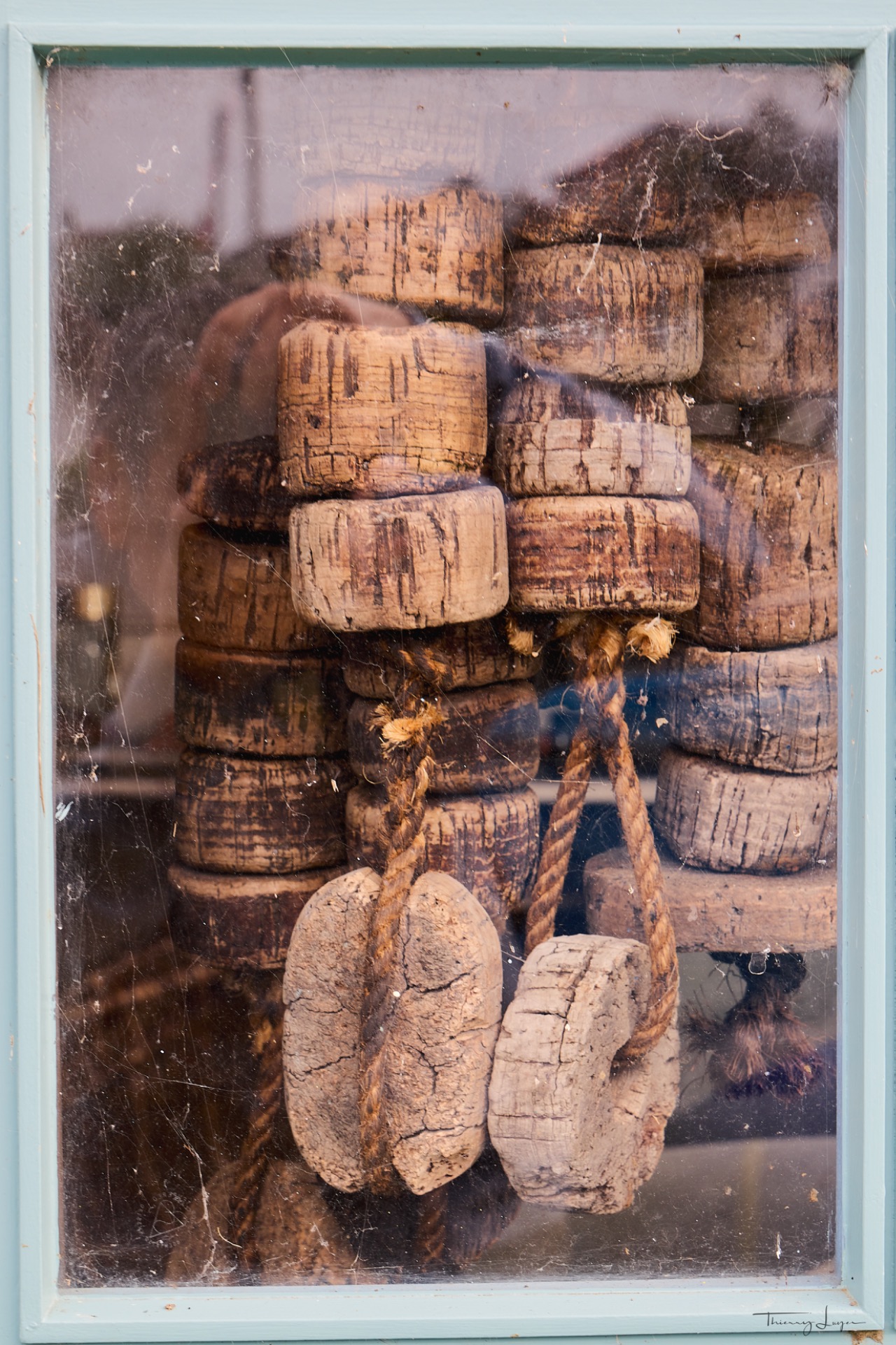
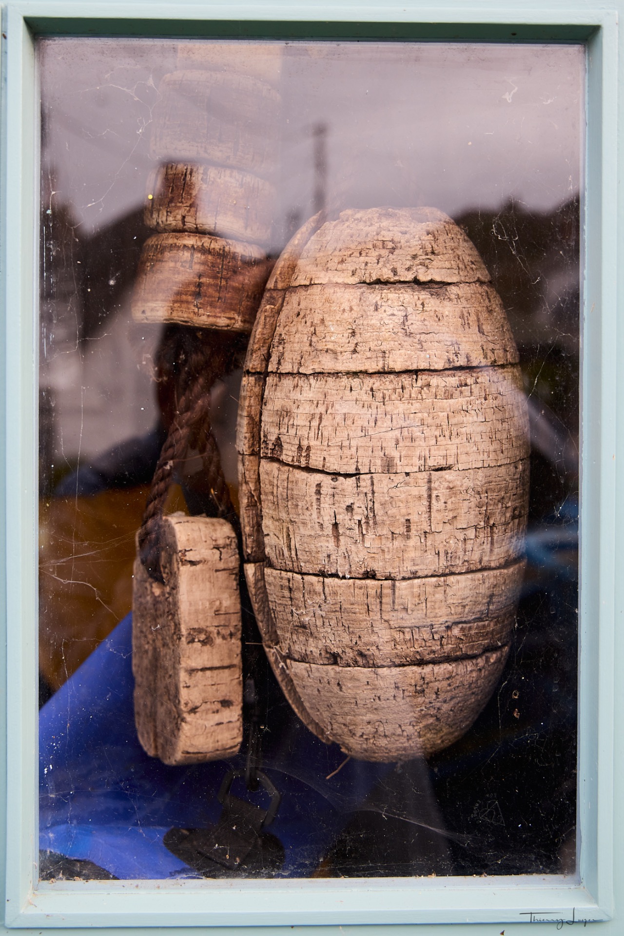
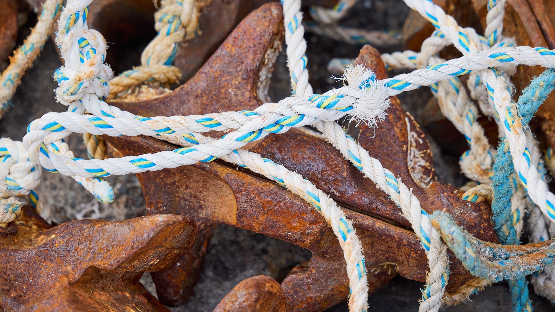
Day 6
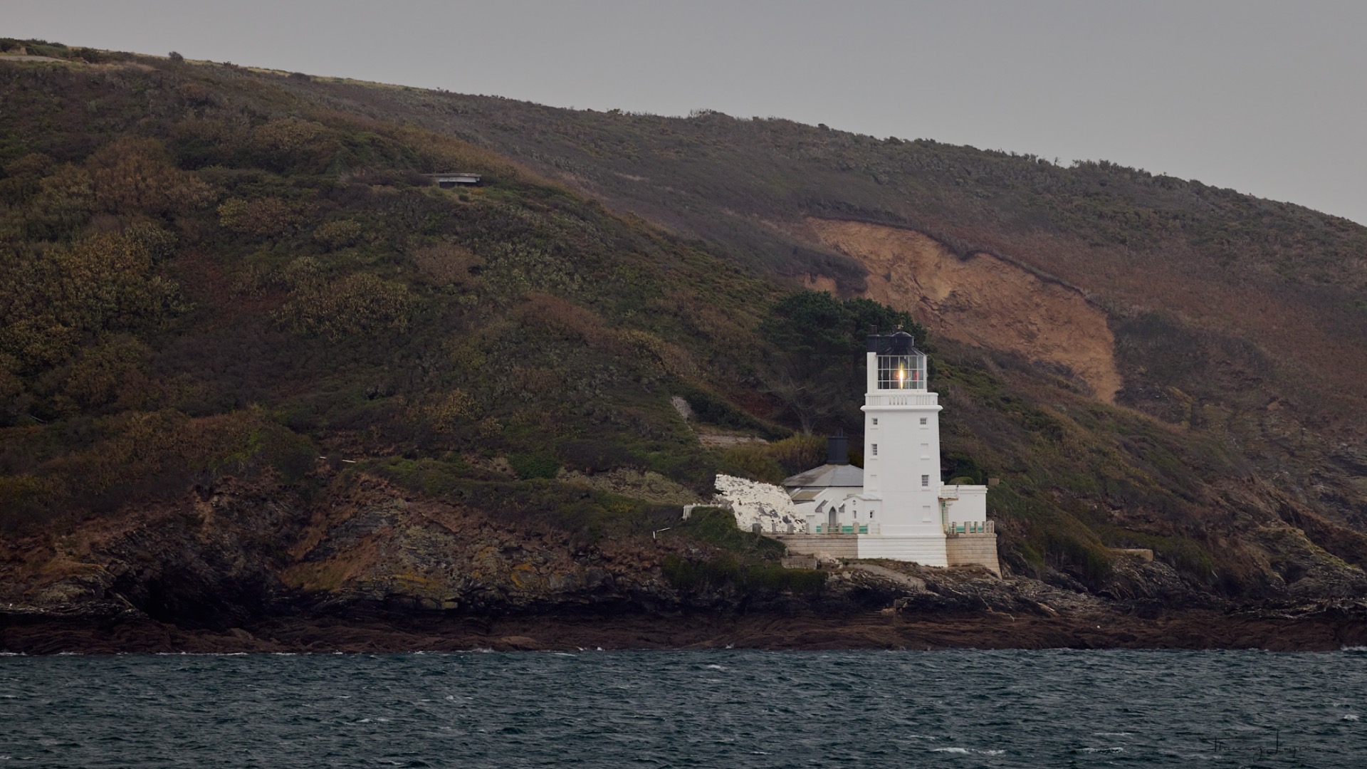
We start our day in thick fog and that all-too-familiar drizzle... From Pendennis Point to Falmouth, I try—in near-total darkness (!)—to take a few shots with my 500 mm lens of St. Anthony's Lighthouse on the opposite shore... (The photo is just to illustrate the point!)
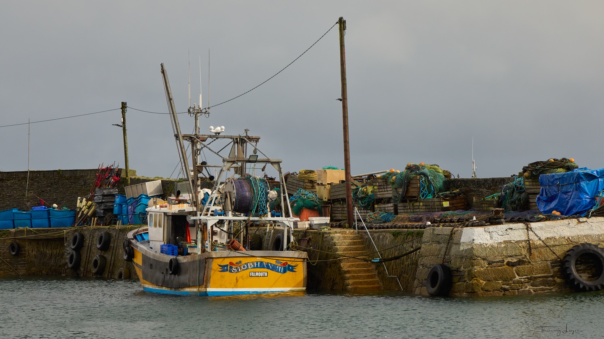
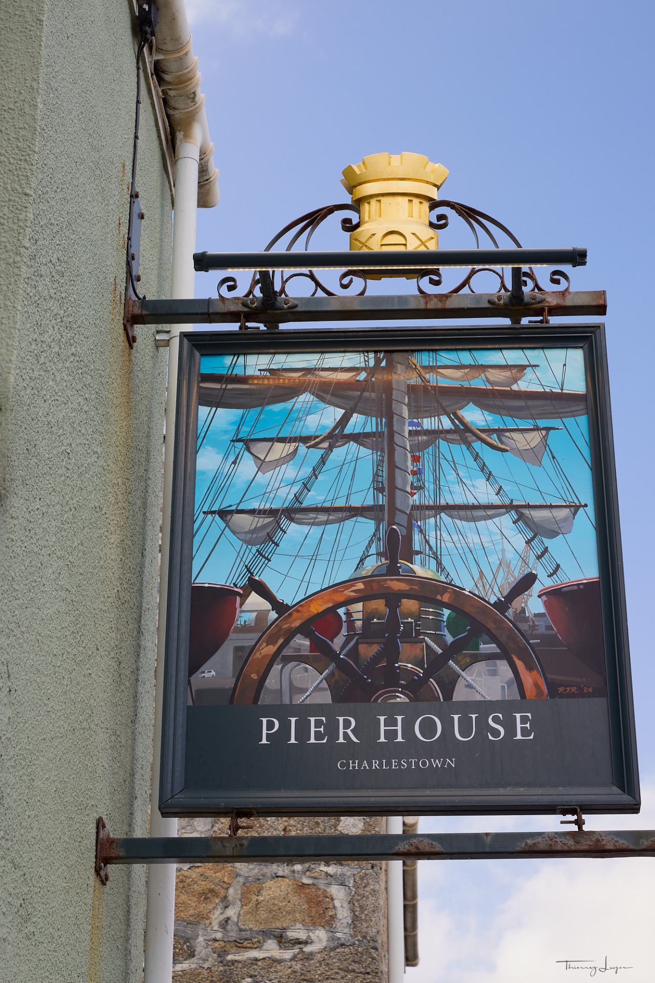
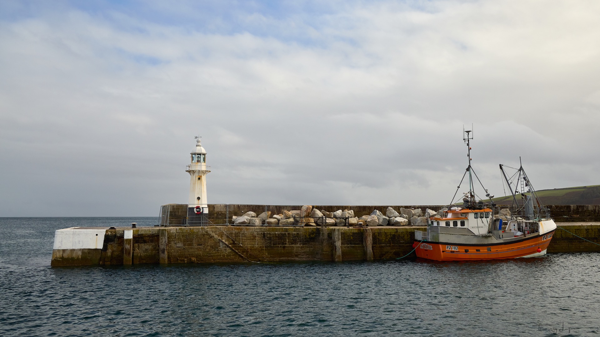
Day 7 and the End of the Trip
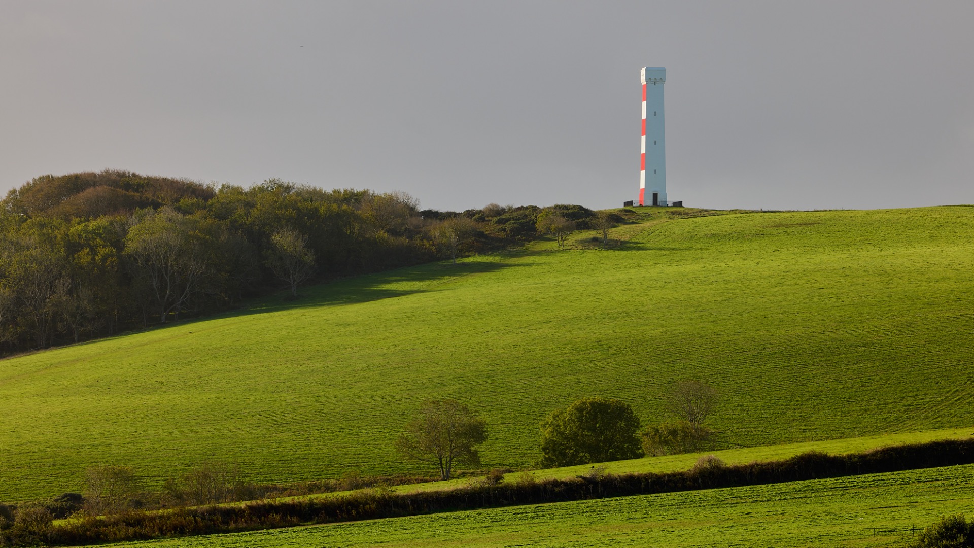
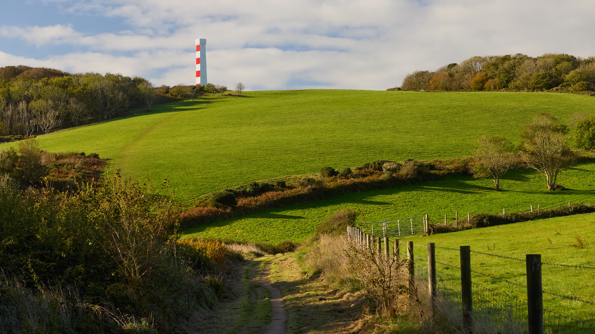
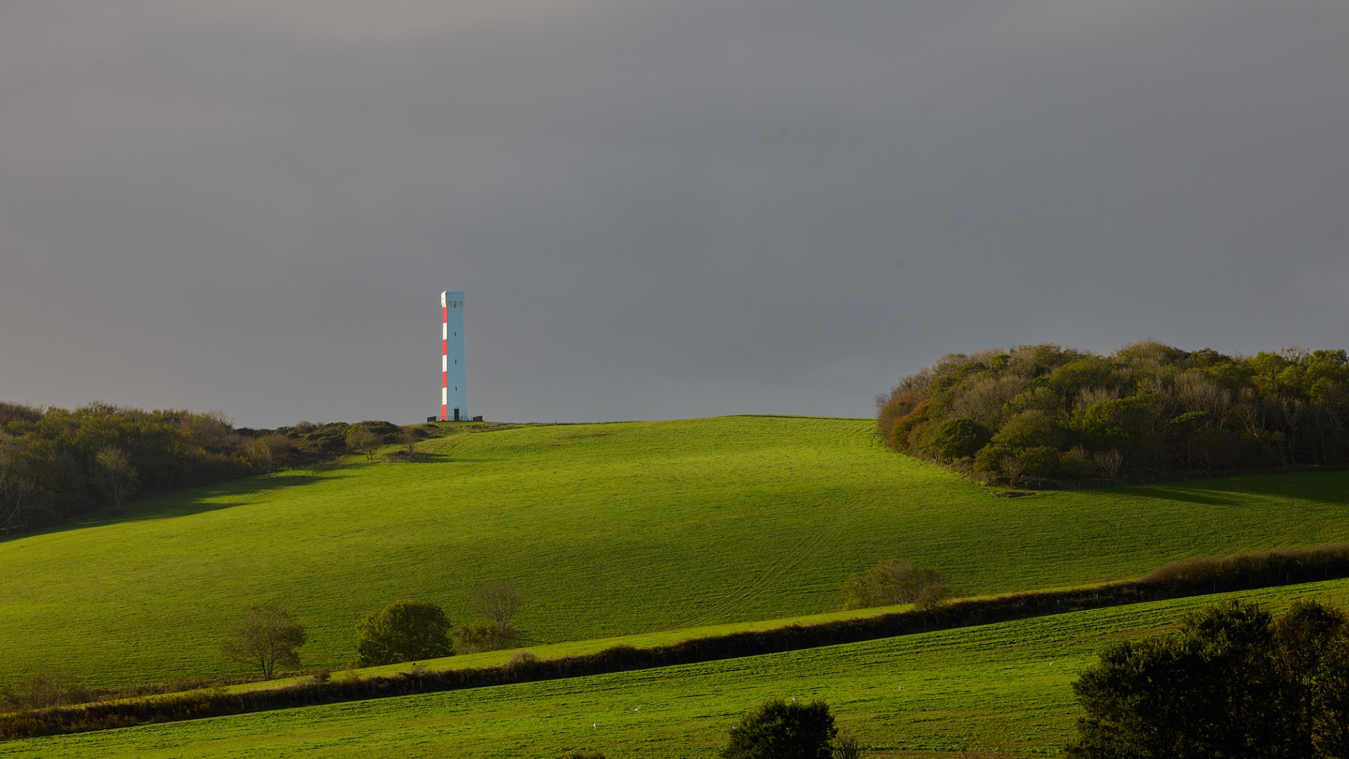
We begin our last day with a long walk along a trail that winds through the woods and meadows by the sea leading to the Gribbin Head tower, which is actually a navigational mark—that is, a fixed visual landmark used exclusively for daytime navigation. It stands on the tip of Gribbin Head, a promontory that separates St. Austell Bay from the Fowey River estuary. It is a 26-meter-tall square stone tower, painted with broad horizontal red and white stripes that are highly visible to sailors.
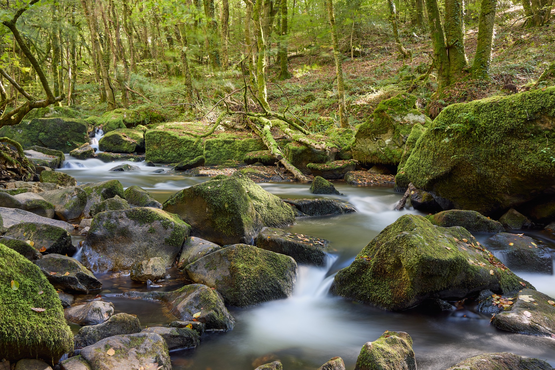
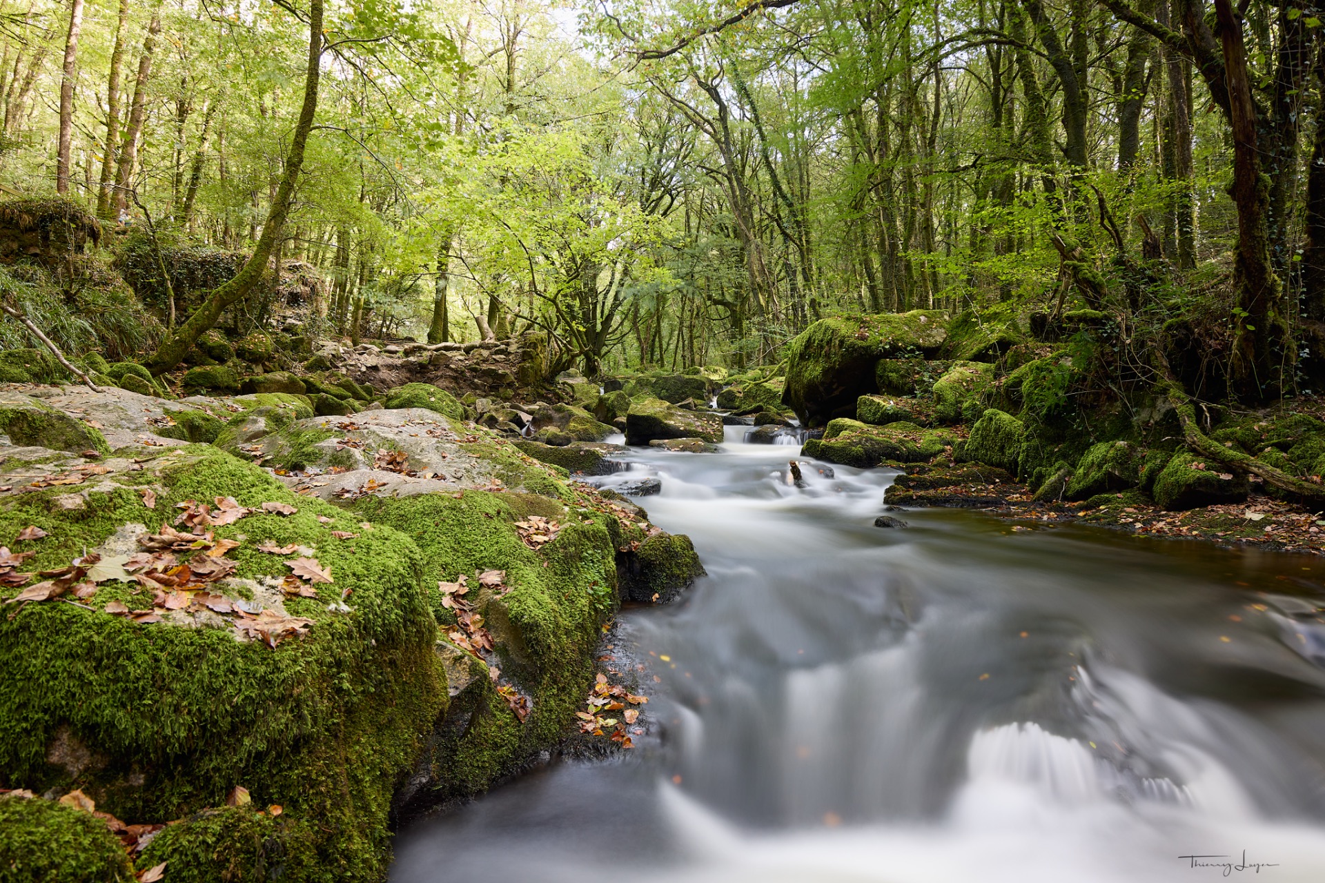
Our final stop, before heading back to Plymouth to catch the night ferry home to France, will be the Golitha Falls National Nature Reserve and its waterfalls.
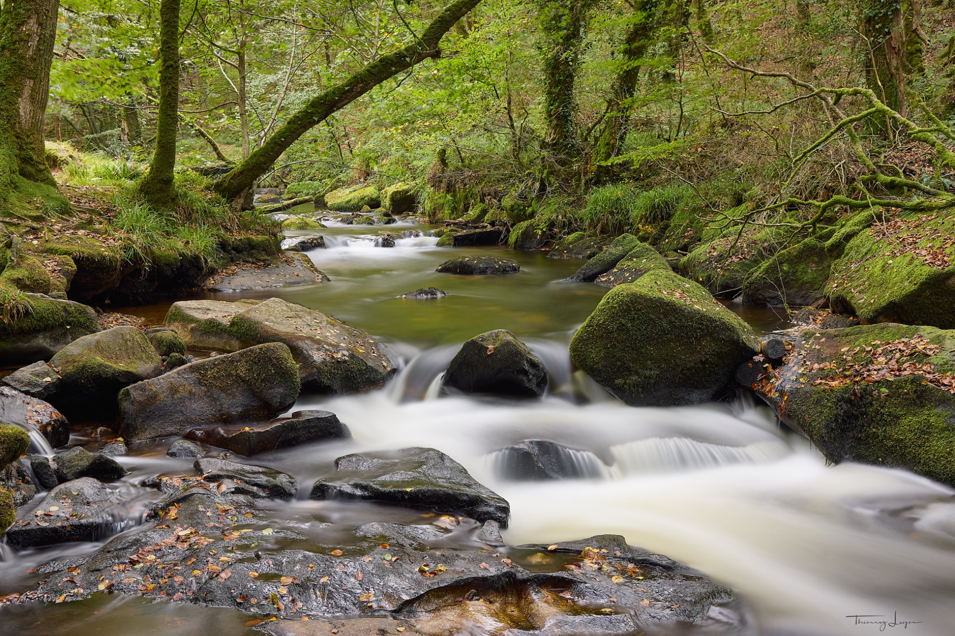
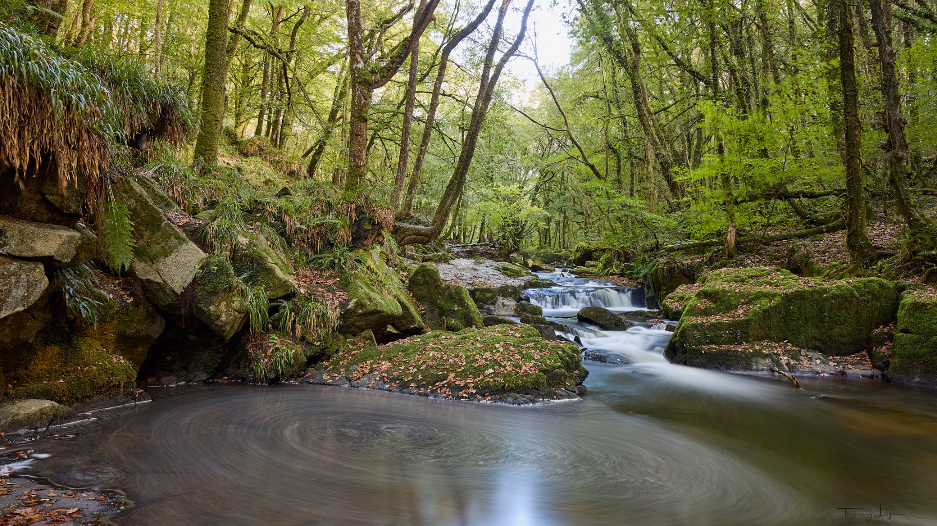
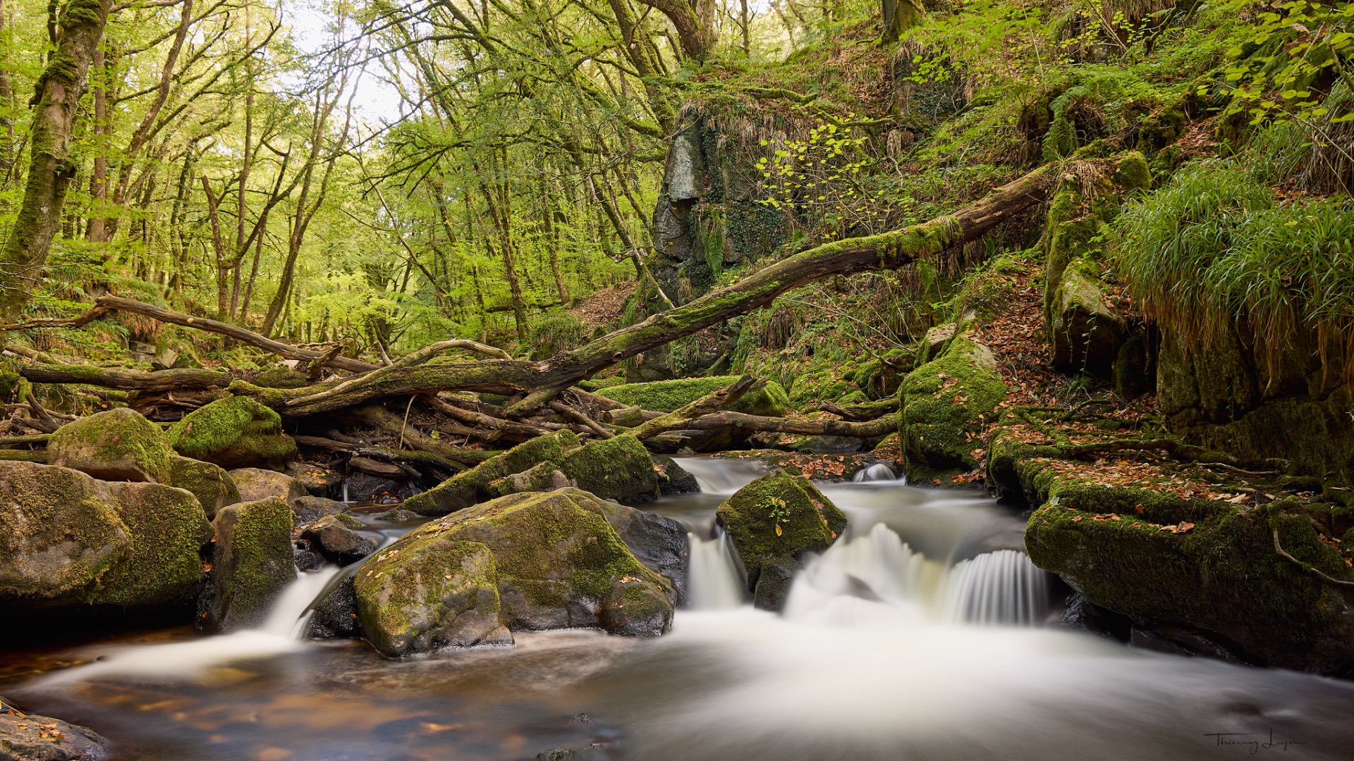
Our photography trip to Cornwall is coming to an end. We'll have covered nearly 95 km of coastal paths, with daily ascents of between 250 and 400 metres. Some of the landscapes are very similar to those in our own Brittany, as are the weather conditions, which certainly didn't go easy on us… Invigorating! But after Scotland, Ireland and Iceland, we've learnt to adapt!